
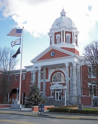
Upshur County, County seat in central West Virginia, United States
Upshur County spans 355 square miles of land in West Virginia, with Buckhannon serving as the administrative center for 23,816 residents.
The county formed on March 26, 1851, from parts of Randolph, Barbour, and Lewis counties, named after Abel Parker Upshur, Secretary of State under President Tyler.
West Virginia Wesleyan College in Buckhannon contributes to educational development through its liberal arts programs and community engagement initiatives.
The county provides online services for property assessments, emergency notifications, and public transportation access through its official administrative channels.
Upshur County falls within the United States National Radio Quiet Zone, requiring special regulations for electronic devices and radio transmissions.
Location: West Virginia
Inception: March 26, 1851
Capital city: Buckhannon
Shares border with: Harrison County, Barbour County, Randolph County, Webster County, Lewis County
Website: http://upshurcounty.org
GPS coordinates: 38.90000,-80.23000
Latest update: March 7, 2025 13:11
Holly River State Park
27.3 km
West Virginia State Wildlife Center
8.6 km
Jackson's Mill
29.9 km
Audra State Park
21.1 km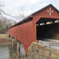
Carrollton Covered Bridge
24.5 km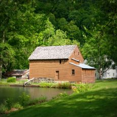
Jackson's Mill State 4-H Camp Historic District
30.3 km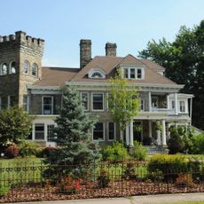
William Post Mansion
10.7 km
Tygart Valley Homesteads Historic District
31.2 km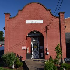
Weston Colored School
25.6 km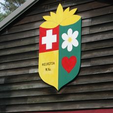
Helvetia Village Historic District
21.8 km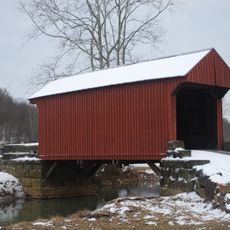
Walkersville Covered Bridge
20.5 km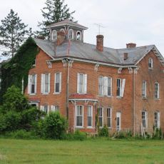
Templemoor
27.3 km
Cunningham House and Outbuildings
31.1 km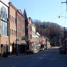
Weston Downtown Historic District
25.6 km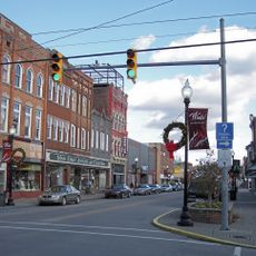
Downtown Buckhannon Historic District
10.5 km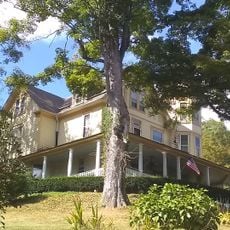
E. E. Hutton House
29.9 km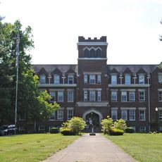
Agnes Howard Hall
10 km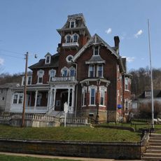
Jonathan M. Bennett House
25.4 km
Bernard E. Wilmoth House
29 km
Weston Downtown Residential Historic District
25.6 km
Fidler's Mill
11.2 km
J.N.B. Crim House
28.8 km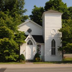
Southern Methodist Church Building
10.4 km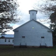
French Creek Presbyterian Church
6.4 km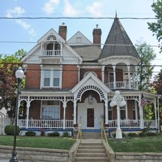
Buckhannon Central Residential Historical District
10.1 km
Museum of American Glass in West Virginia
25.6 km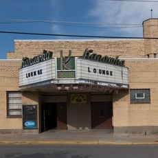
Kanawha Theater
10.3 km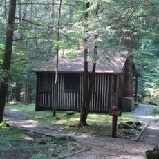
New Deal Resources in Holly River State Park Historic District
28.4 kmReviews
Visited this place? Tap the stars to rate it and share your experience / photos with the community! Try now! You can cancel it anytime.
Discover hidden gems everywhere you go!
From secret cafés to breathtaking viewpoints, skip the crowded tourist spots and find places that match your style. Our app makes it easy with voice search, smart filtering, route optimization, and insider tips from travelers worldwide. Download now for the complete mobile experience.

A unique approach to discovering new places❞
— Le Figaro
All the places worth exploring❞
— France Info
A tailor-made excursion in just a few clicks❞
— 20 Minutes