Enable Location

We need your location to show you interesting places around you

Discover nearby places

Find interesting locations and hidden gems around you

Precise directions

Get accurate directions and distances to places

Your location is never shared with other users. It's only used when you tap the location button.

Craig County

Log in to your account

Start exploring — it's free

Trusted by 61,977 travelers worldwide

Continue with Google
Continue with Apple
or

We will send you a code to connect

By continuing, you accept our Terms and Conditions and our Privacy Policy

Check your inbox

We've sent a pincode in your inbox. Please enter the code below.

Craig County, County in southwestern Virginia, United States.

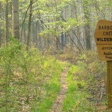
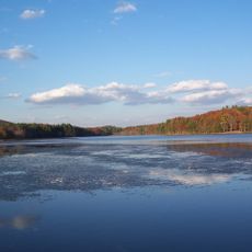
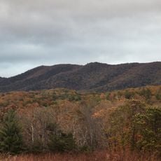
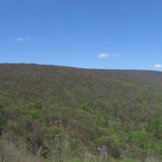
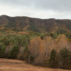
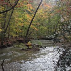
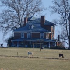
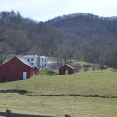
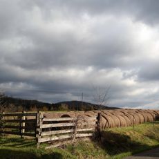
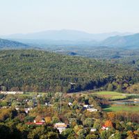
Craig County is an administrative division in southwestern Virginia covering approximately 330 square miles (855 square kilometers), with mountains and forests dominating the landscape. The terrain creates a largely wooded region with rolling highlands and river valleys throughout the area.

The county was established in 1851 from portions of Botetourt, Roanoke, Giles, and Monroe counties, and received its name from Virginia congressman Robert Craig. This formation followed the territorial divisions common in mid-19th-century Virginia.

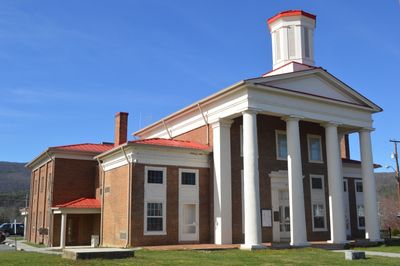
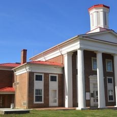
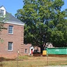
The courthouse in New Castle showcases the architectural traditions of Virginia's judicial heritage, drawing from the design principles of 19th-century regional government buildings.

The warmer months offer better conditions for exploring the county's natural features and outdoor spaces. Roads can be winding in mountainous areas, so allow extra time when traveling between towns and facilities.

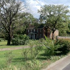
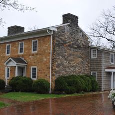
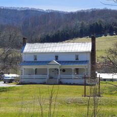
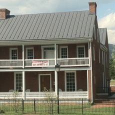
Craig Healing Springs contains early 20th-century spa buildings that reflect the distinctive style of mountain resorts from that era. These structures offer glimpses into a period when such destinations attracted visitors seeking therapeutic waters.

The community of curious travelers

AroundUs brings together thousands of curated places, local tips, and hidden gems, enriched daily by 60,000 contributors worldwide.

Start exploring
Location
Inception
1851
Capital city
New Castle
Shares border with
Alleghany County, Montgomery County, Roanoke County, Botetourt County, Giles County, Monroe County
GPS coordinates
37.49000,-80.22000
Latest update
December 7, 2025 20:24
Around this place
Appalachian Trail
United States of America

Appalachian Trail

21 km
Barbours Creek Wilderness
United States of America

Barbours Creek Wilderness

16.5 km
Moncove Lake State Park
United States of America

Moncove Lake State Park

18.6 km
Brush Mountain Wilderness
United States of America

Brush Mountain Wilderness

20.5 km
Salt Pond Mountain
United States of America

Salt Pond Mountain

25.9 km
Salem Post Office
United States of America

Salem Post Office

26.2 km
Brush Mountain East Wilderness
United States of America

Brush Mountain East Wilderness

20.3 km
United States of America

Sinking Creek Valley Cluster

13.5 km
Valley Railroad Bridge
United States of America

Valley Railroad Bridge

25.8 km
McVitty Home
United States of America

McVitty Home

25.9 km
Craig Creek Cluster
United States of America

Craig Creek Cluster

17.9 km
Old Roanoke County Courthouse
United States of America

Old Roanoke County Courthouse

26.3 km
New Castle Historic District
United States of America

New Castle Historic District

9.9 km
Preston House
United States of America

Preston House

25.1 km
Anderson House
United States of America

Anderson House

22.4 km
Evans House
United States of America

Evans House

25.9 km
Fairview
United States of America

Fairview

24.8 km
Downtown Salem Historic District
United States of America

Downtown Salem Historic District

26.2 km
Bryan McDonald Jr., House
United States of America

Bryan McDonald Jr., House

23 km
Johnsville Meetinghouse
United States of America

Johnsville Meetinghouse

19.6 km
Academy Street School
United States of America

Academy Street School

26 km
Huffman House
United States of America

Huffman House

22.6 km
Blair Apartments
United States of America

Blair Apartments

26.3 km
Salem Presbyterian Parsonage
United States of America

Salem Presbyterian Parsonage

26.5 km
Anderson-Doosing Farm
United States of America

Anderson-Doosing Farm

17.8 km
Williams-Brown House and Store
United States of America

Williams-Brown House and Store

26.4 km
North Fork Valley Rural Historic District
United States of America

North Fork Valley Rural Historic District

26.3 km
Hanging Rock Raptor Observatory
United States of America

Hanging Rock Raptor Observatory

20.6 km
Show the full map
Administrative divisions
« Craig County - County in southwestern Virginia, United States » is provided by Around Us (aroundus.com). Images and texts are derived from Wikimedia project under a Creative Commons license. You are allowed to copy, distribute, and modify copies of this page, under the conditions set by the license, as long as this note is clearly visible.

Discover hidden gems everywhere you go!

From secret cafés to breathtaking viewpoints, skip the crowded tourist spots and find places that match your style. Our app makes it easy with voice search, smart filtering, route optimization, and insider tips from travelers worldwide. Download now for the complete mobile experience.

Around Us App Screenshot

A unique approach to discovering new places

Le Figaro

All the places worth exploring

France Info

A tailor-made excursion in just a few clicks

20 Minutes

Around Us
Travel Guide & Maps
Download

Send to your phone

QR Code
1

Open the camera app on your mobile.

2

Point at the QR code with your camera. A notification will appear.

3

Tap the notification to open the link.