Appalachian Trail, National Scenic Trail in eastern United States.
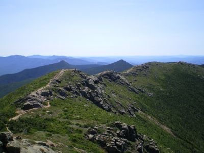
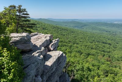
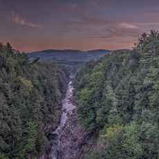
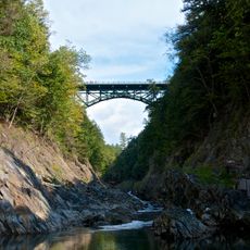
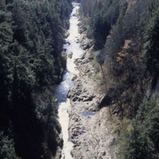
The Appalachian Trail runs 2200 miles (3500 kilometers) through fourteen states, from Springer Mountain in Georgia to Mount Katahdin in Maine. The route follows mostly forested ridgelines, crossing river valleys, rocky highlands, and open meadows along the way.
Forester Benton MacKaye proposed the idea in 1921 to link farms with wilderness camps, and the first section opened in New York in 1923. Volunteers and hiking clubs completed the full route by 1937, negotiating trails through private land and public forests.
Hikers often share stories, meals, and shelter with strangers who become friends along the way. Locals known as trail angels volunteer to offer food, water, or rides to support those passing through.
More than 250 free shelters stand at intervals of roughly one day's walk throughout the route. Those planning to spend weeks or months on the trail should start in spring or summer to avoid snow and ice at higher elevations.
Karl Meltzer holds the speed record for finishing the entire route in 45 days, 22 hours, and 38 minutes. Around 3000 people start attempting the full length each year, but only about one in four makes it all the way.
Location: Georgia
Location: North Carolina
Location: Tennessee
Location: Virginia
Location: West Virginia
Location: Maryland
Location: Pennsylvania
Location: New Jersey
Location: New York
Location: Connecticut
Location: Massachusetts
Location: Vermont
Location: New Hampshire
Location: Maine
Reference: AT
Operator: Appalachian Trail Conservancy
Part of: Triple Crown of Hiking, National Trails System, International Appalachian Trail
Color: white
Website: https://nps.gov/appa
GPS coordinates: 37.35175,-80.38108
Latest update: December 14, 2025 23:00
Quechee Gorge
971.4 km
Quechee Gorge Bridge
971.3 km
Quechee State Park
971.7 km
West Hartford Bridge
976.4 km
Beaver Meadow Union Chapel
983 km
Quechee Historic Mill District
971.4 km
Jericho Rural Historic District
978.3 km
Beaver Meadow School
983.2 km
Hartford Library
976.9 km
Downer State Forest
984 km
Jedediah Strong II House
972.3 km
Bridge 15
979.4 km
Dewey House
971.8 km
Walter and Sylvia Stockmayer House
984.2 km
Norwich Village Historic District
983 km
Joseph and Daniel Marsh House
972.2 km
Christian Street Rural Historic District
980.6 km
Brigham Hill Historic District
983.7 km
Montshire Museum of Science
982.1 km
Scenic viewpoint
971.3 km
Beacon Hill Vista
974.6 km
Gallery of Simon Pearce
971.3 km
Scenic viewpoint
971.2 km
Scenic viewpoint
972.7 km
Scenic viewpoint
972.8 km
Waterfall
982.2 km
Waterfall
980.2 km
Waterfall
982.3 kmVisited this place? Tap the stars to rate it and share your experience / photos with the community! Try now! You can cancel it anytime.
Discover hidden gems everywhere you go!
From secret cafés to breathtaking viewpoints, skip the crowded tourist spots and find places that match your style. Our app makes it easy with voice search, smart filtering, route optimization, and insider tips from travelers worldwide. Download now for the complete mobile experience.
A unique approach to discovering new places❞
— Le Figaro
All the places worth exploring❞
— France Info
A tailor-made excursion in just a few clicks❞
— 20 Minutes