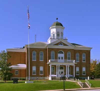
Lincoln County, Administrative county in eastern Missouri, United States.
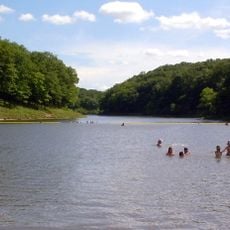
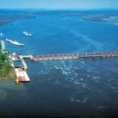
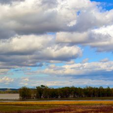
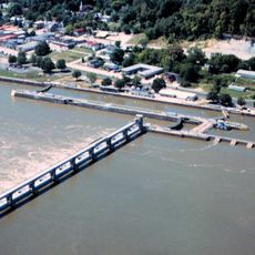
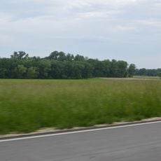
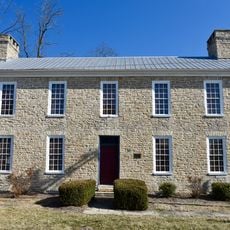
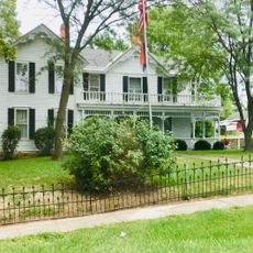
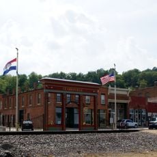
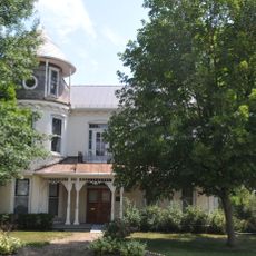
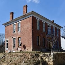
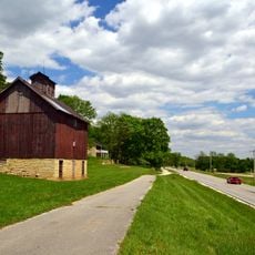
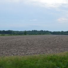
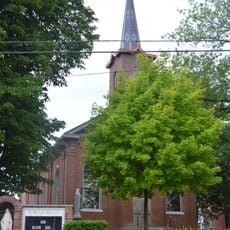
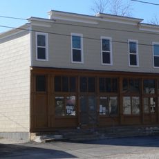
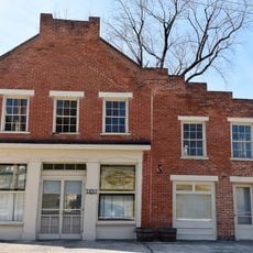
Lincoln County is an administrative region in eastern Missouri along the Mississippi River. The area contains farmland, small towns, and residential communities spread across hundreds of square miles.
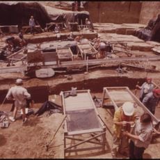
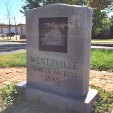
Settlers established this county in 1818, naming it after General Benjamin Lincoln, a commander from the American Revolution. The area developed from a frontier region into an established agricultural community.
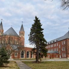
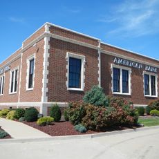
The county maintains several educational institutions, from public school districts to private academies, serving its population of nearly 60,000 residents.
The region is easiest to explore by car, as public transportation is limited compared to larger cities. It helps to plan routes ahead or have directions ready when visiting smaller towns within the county.
The name came from a clerical mix-up: a resident originally suggested 'Link-Horn,' but a clerk recorded it as Lincoln in official documents. This error stuck and became the county's official name.
The community of curious travelers
AroundUs brings together thousands of curated places, local tips, and hidden gems, enriched daily by 60,000 contributors worldwide.