Tioga County

Log in to your account

AroundUs is a community-driven map of interesting places, built by curious explorers like you. It grows with every review, story, and photo you share.
Connect to save your favorite spots, contribute locations, and create personalized routes.
By continuing, you accept our Terms and Conditions and our Privacy Policy
Add to collection
Map
Suggest a change
Share

Tioga County, Administrative county in Pennsylvania, United States.

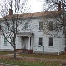
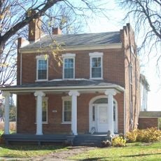
Tioga County is an administrative division spanning north-central Pennsylvania, characterized by rural farmland, scattered small towns, and forests that cover much of the landscape. The terrain includes rolling hills, river valleys, and cleared agricultural areas that shape the county's overall character.

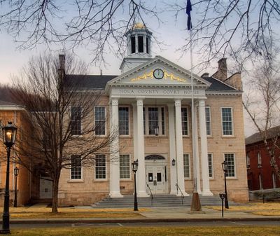
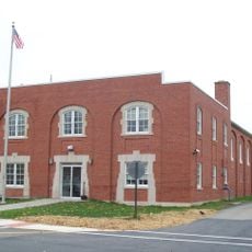
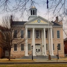
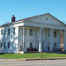
Pennsylvania established Tioga County in 1812 as part of the state's effort to organize expanding settlements in the north-central region. Wellsboro became the administrative center, serving as the seat of local government operations.

Small farming communities throughout the county maintain agricultural traditions that shape everyday life, with seasonal markets and farm tours showing visitors how rural families work the land. These practices are visible in the patchwork of fields and the way people organize their communities around the farming calendar.

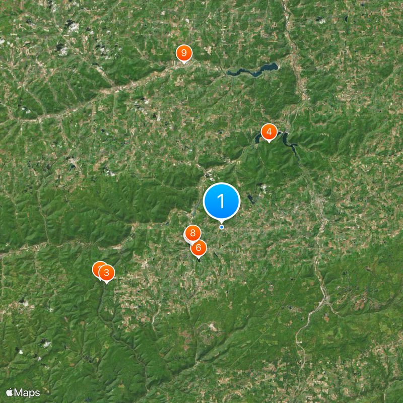
Visitors should head to Wellsboro, where county government offices are located and information about local services can be found. Exploring the area is best done by car, since attractions and small towns are spread throughout the rural countryside.

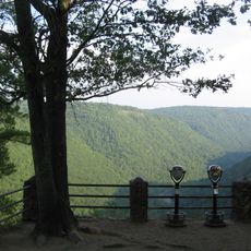
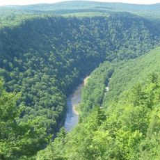
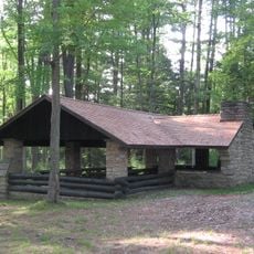
The county contains several state parks and forests where visitors can hike, camp, fish, and observe wildlife throughout the year. These protected natural areas are often overlooked by travelers passing through the region.

Location: Pennsylvania

Inception: October 13, 1812

Capital city: Wellsboro

Shares border with: Steuben County, Chemung County, Bradford County, Lycoming County, Potter County

Website: https://tiogacountypa.us

GPS coordinates: 41.77000,-77.25000

Latest update: December 7, 2025 09:25

Photos
Around this place
Show the full map
Colton Point State Park
United States of America

Colton Point State Park

19.5 km
Leonard Harrison State Park
United States of America

Leonard Harrison State Park

18.8 km
Cogan House Covered Bridge
United States of America

Cogan House Covered Bridge

41.6 km
Black Forest Trail
United States of America

Black Forest Trail

35.6 km
Old Loggers Path
United States of America

Old Loggers Path

40.4 km
Pinnacle State Park and Golf Course
United States of America

Pinnacle State Park and Golf Course

36.3 km
Golden Eagle Trail
United States of America

Golden Eagle Trail

42.8 km
Buttonwood Covered Bridge
United States of America

Buttonwood Covered Bridge

30.6 km
English Center Suspension Bridge
United States of America

English Center Suspension Bridge

37.5 km
Robinson House
United States of America

Robinson House

5.2 km
Bridge in Brown Township
United States of America

Bridge in Brown Township

37.7 km
World War Memorial Library
United States of America

World War Memorial Library

44.4 km
Bridge in Lewis Township
United States of America

Bridge in Lewis Township

42.2 km
Southside Historic District
United States of America

Southside Historic District

44.1 km
Wellsboro Armory
United States of America

Wellsboro Armory

5.1 km
Sunbury Historic District
United States of America

Sunbury Historic District

39.2 km
Wellsboro Historic District
United States of America

Wellsboro Historic District

4.9 km
Parkhurst Memorial Presbyterian Church
United States of America

Parkhurst Memorial Presbyterian Church

24.8 km
James Ford House
United States of America

James Ford House

27.1 km
Main Street Historic District
United States of America

Main Street Historic District

37.4 km
Maple Street Historic District
United States of America

Maple Street Historic District

37.8 km
Van Dyne Civic Building
United States of America

Van Dyne Civic Building

38.6 km
Collins Observatory
United States of America

Collins Observatory

41.3 km
William Wombough House
United States of America

William Wombough House

38.4 km
Colton Point State Park Historic District
United States of America

Colton Point State Park Historic District

19.4 km
Arcadia Theatre
United States of America

Arcadia Theatre

4.8 km
Judge John Ryon House
United States of America

Judge John Ryon House

27 km
Jesse Robinson House
United States of America

Jesse Robinson House

5.3 km
Show the full map
Reviews

Visited this place? Tap the stars to rate it and share your experience / photos with the community! Try now! You can cancel it anytime.

« Tioga County - Administrative county in Pennsylvania, United States » is provided by Around Us (aroundus.com). Images and texts are derived from Wikimedia project under a Creative Commons license. You are allowed to copy, distribute, and modify copies of this page, under the conditions set by the license, as long as this note is clearly visible.

Discover hidden gems everywhere you go!

From secret cafés to breathtaking viewpoints, skip the crowded tourist spots and find places that match your style. Our app makes it easy with voice search, smart filtering, route optimization, and insider tips from travelers worldwide. Download now for the complete mobile experience.

Around Us App Screenshot

A unique approach to discovering new places

Le Figaro

All the places worth exploring

France Info

A tailor-made excursion in just a few clicks

20 Minutes