Enable Location

We need your location to show you interesting places around you

Discover nearby places

Find interesting locations and hidden gems around you

Precise directions

Get accurate directions and distances to places

Your location is never shared with other users. It's only used when you tap the location button.

McKean County

Log in to your account

Start exploring — it's free

Trusted by travelers worldwide

Continue with Google
Continue with Apple
or

We will send you a code to connect

By continuing, you accept our Terms and Conditions and our Privacy Policy

Check your inbox

We've sent a pincode in your inbox. Please enter the code below.

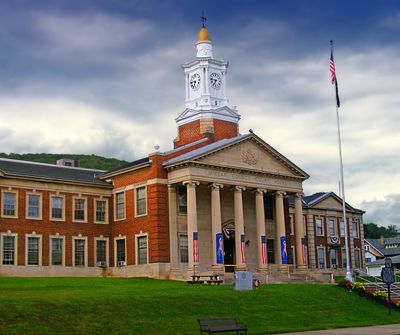
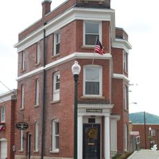
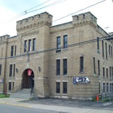
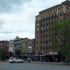
McKean County, County in Pennsylvania, United States.

Description

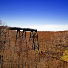
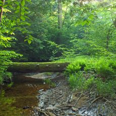
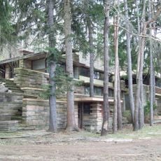
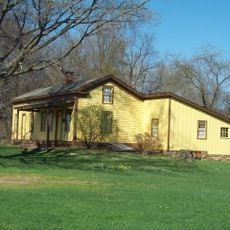
McKean County is an administrative division spanning roughly 2550 square kilometers across northern Pennsylvania. The area is dominated by extensive forests and contains several small towns and communities.

History

The county was established in 1804 and officially organized in 1826. It was named after Thomas McKean, one of the signers of the Declaration of Independence.

Culture

The county honors its industrial past through local events that celebrate timber and oil production. These gatherings reflect how central these industries were to shaping the region.

Practical

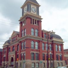
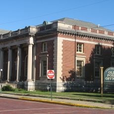
Smethport, the county seat, connects well to U.S. Route 6 and U.S. Route 219. These highways make it easy to reach the area and travel through the region.

Did you know?

The county produces such large quantities of black cherry wood that it earned the title of Black Cherry Capital of the World. This wood variety is prized worldwide for fine furniture and woodworking.

Location
Inception
September 1, 1826
Capital city
Smethport
Shares border with
Cattaraugus County, Allegany County, Potter County, Cameron County, Forest County, Elk County, Warren County
GPS coordinates
41.81111,-78.44472
Latest update
December 20, 2025 16:11

AroundUs brings together thousands of curated places, local tips, and hidden gems, enriched daily by 60,000 contributors worldwide. Discover all places nearby (Pennsylvania).

Around this place
Kinzua Bridge State Park
United States of America

Kinzua Bridge State Park

13.1 km
Tionesta Scenic and Research Natural Areas
United States of America

Tionesta Scenic and Research Natural Areas

45 km
Eldred World War II Museum
United States of America

Eldred World War II Museum

17.1 km
Lynn Hall
United States of America

Lynn Hall

11.5 km
Anoatok
United States of America

Anoatok

33.7 km
Thomas L. Kane Memorial Chapel
United States of America

Thomas L. Kane Memorial Chapel

34.7 km
Bradford Old City Hall
United States of America

Bradford Old City Hall

23.4 km
United States of America

State Game Lands Number 30

22.5 km
Rufus Barrett Stone House
United States of America

Rufus Barrett Stone House

23.5 km
Bradford Armory
United States of America

Bradford Armory

23.7 km
New Thomson House
United States of America

New Thomson House

34.6 km
Bradford Downtown Historic District
United States of America

Bradford Downtown Historic District

23.4 km
Crook Farm
United States of America

Crook Farm

25.2 km
United States of America

Ceres School

25.3 km
Rimrock Trail
United States of America

Rimrock Trail

41.7 km
Kinzua Beach
United States of America

Kinzua Beach

42.6 km
Allegheny National Forest Visitors Bureau
United States of America

Allegheny National Forest Visitors Bureau

23.2 km
United States of America

State Game Lands Number 61

8.9 km
United States of America

State Game Lands Number 301

6.3 km
United States of America

State Game Lands Number 62

12.9 km
United States of America

Lyceum Theatre

23.5 km
St. Bernard Roman Catholic Church
United States of America

St. Bernard Roman Catholic Church

23.2 km
United States of America

Rimrock Picnic Area Overlook

41.8 km
United States of America

Judge Joseph Bouton Mansion

421 m
United States of America

Byron Delano Hamlin Mansion

399 m
United States of America

302 W. Green St.

39 m
United States of America

802 W Main St.

512 m
United States of America

Valley Road

960 m
Show the full map
« McKean County - County in Pennsylvania, United States » is provided by Around Us (aroundus.com). Images and texts are derived from Wikimedia project under a Creative Commons license. You are allowed to copy, distribute, and modify copies of this page, under the conditions set by the license, as long as this note is clearly visible.

Discover hidden gems everywhere you go!

From secret cafés to breathtaking viewpoints, skip the crowded tourist spots and find places that match your style. Our app makes it easy with voice search, smart filtering, route optimization, and insider tips from travelers worldwide. Download now for the complete mobile experience.

Around Us App Screenshot

A unique approach to discovering new places

Le Figaro

All the places worth exploring

France Info

A tailor-made excursion in just a few clicks

20 Minutes

Around Us
Travel Guide & Maps
Download

Send to your phone

QR Code
1

Open the camera app on your mobile.

2

Point at the QR code with your camera. A notification will appear.

3

Tap the notification to open the link.