Chest opened
+${chestReward.xp} XP
Explorer
NOUVEAU ×${chestReward.collectible.quantity}
tapez pour fermer

See the monuments around you in AR Open chests in the app

Around Us is built for your phone — point your camera at the streets and discover the monuments and places around you in augmented reality. Around Us is built for your phone — chests unlock when you walk, explore and capture nearby places.

•

Enable Location

We need your location to show you interesting places around you

Discover nearby places

Find interesting locations and hidden gems around you

Precise directions

Get accurate directions and distances to places

Your location is never shared with other users. It's only used when you tap the location button.

Kinzua Bridge State Park

Log in to your account

Start exploring — it's free

Trusted by 90,050 travelers worldwide

Continue with Google
Continue with Apple
or

We will send you a code to connect

By continuing, you accept our Terms and Conditions and our Privacy Policy

Check your inbox

We've sent a pincode in your inbox. Please enter the code below.

Kinzua Bridge State Park
Discussion Reviews 1 Photos
23.9k Popularity

Kinzua Bridge State Park, Railroad viaduct state park in McKean County, Pennsylvania, United States.

Audio guide · About one minute
Preparing your audio guide… The audio guide could not be loaded, please retry.Sign in to listen to the audio guide

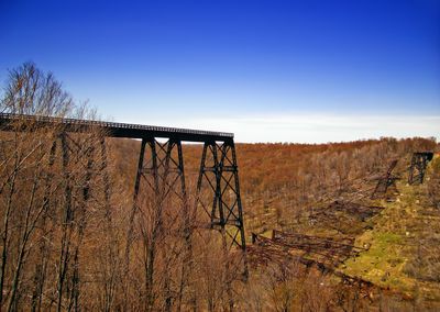
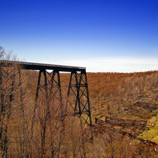
Kinzua Bridge State Park is a protected area in McKean County, Pennsylvania, where a railroad viaduct once crossed the valley. Today visitors walk along a roughly 600-foot (180 m) platform that ends above Kinzua Creek.

The railroad viaduct was finished in 1882 and ranked as the tallest railroad bridge in the world at over 300 feet (90 m) high. A tornado destroyed much of the structure in 2003, and it was not rebuilt.

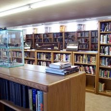
The visitor center explains how railroad bridges were built and how the timber industry shaped this part of Pennsylvania. Many people visit for the forests and hills of the Pennsylvania Wilds as much as for the bridge itself.

The park opens daily at eight in the morning until sunset, and hiking trails run through the grounds. The viewing platform can get crowded on busy days, so early morning or late afternoon visits often work better.

A glass floor at the end of the platform lets visitors look straight down at the fallen iron towers lying among the trees since 2003. On clear days you can see individual metal lattice and timber beams on the valley floor below.

The community of curious travelers

AroundUs brings together thousands of curated places, local tips, and hidden gems, enriched daily by 60,000 contributors worldwide.
Start exploring
Location
Inception
1963
GPS coordinates
41.75530,-78.58360
Latest update
September 16, 2026 20:11
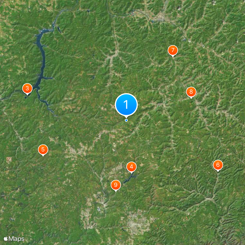
Around this place
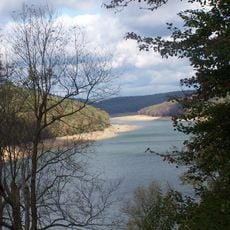
Elk State Park
United States of America

Elk State Park

11.5 mi
Eldred World War II Museum
United States of America

Eldred World War II Museum

17.4 mi
Lynn Hall
United States of America

Lynn Hall

15.1 mi
Bendigo State Park
United States of America

Bendigo State Park

15.7 mi
East Branch Clarion River Lake
United States of America

East Branch Clarion River Lake

12.1 mi
Quaker Lake
United States of America

Quaker Lake

18.9 mi
Anoatok
United States of America

Anoatok

12.8 mi
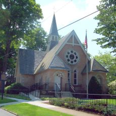
Thomas L. Kane Memorial Chapel
United States of America

Thomas L. Kane Memorial Chapel

13.4 mi
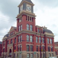
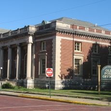
Bradford Old City Hall
United States of America

Bradford Old City Hall

14.3 mi
Rufus Barrett Stone House
United States of America

Rufus Barrett Stone House

14.4 mi
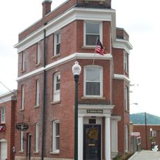
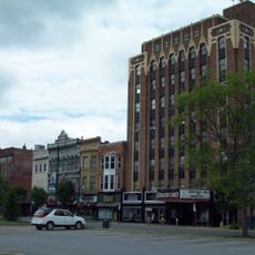
Bradford Downtown Historic District
United States of America

Bradford Downtown Historic District

14.3 mi
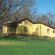
Crook Farm
United States of America

Crook Farm

16.5 mi
Swedish Lutheran Parsonage
United States of America

Swedish Lutheran Parsonage

13.5 mi
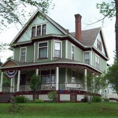
House at 520 Hostageh Road
United States of America

House at 520 Hostageh Road

18.8 mi
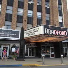
Bradfords Main Street Movie House
United States of America

Bradfords Main Street Movie House

14.3 mi
Allegheny National Forest Visitors Bureau
United States of America

Allegheny National Forest Visitors Bureau

14.2 mi
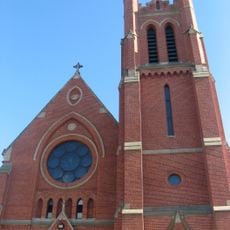
St. Bernard Roman Catholic Church
United States of America

St. Bernard Roman Catholic Church

14.2 mi
United States of America

302 W. Green St.

8.2 mi
United States of America

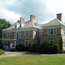
Judge Joseph Bouton Mansion

7.9 mi
United States of America

Byron Delano Hamlin Mansion

7.9 mi
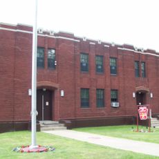
Kane Armory
United States of America

Kane Armory

13.5 mi
United States of America

802 W Main St.

7.8 mi
United States of America

Valley Road

8.7 mi
United States of America

Work of art, statue

13.5 mi
United States of America

Mural

13.5 mi
United States of America

Scenic viewpoint

11.8 mi
United States of America

Waterfall

15.9 mi
United States of America

Waterfall

15 mi
Show the full map
Reviews
Share your experience

No review yet

Discussions
Start a discussion...

No discussion yet

« Kinzua Bridge State Park - Railroad viaduct state park in McKean County, Pennsylvania, United States » is provided by Around Us (aroundus.com). Images and texts are derived from Wikimedia project under a Creative Commons license. You are allowed to copy, distribute, and modify copies of this page, under the conditions set by the license, as long as this note is clearly visible.

Discover hidden gems everywhere you go!

From secret cafés to breathtaking viewpoints, skip the crowded tourist spots and find places that match your style. Our app makes it easy with voice search, smart filtering, route optimization, and insider tips from travelers worldwide. Download now for the complete mobile experience.

Around Us App Screenshot
❝

A unique approach to discovering new places❞

— Le Figaro

❝

All the places worth exploring❞

— France Info

❝

A tailor-made excursion in just a few clicks❞

— 20 Minutes

Around Us
Travel Guide & Maps
Download

Send to your phone

QR Code
1

Open the camera app on your mobile.

2

Point at the QR code with your camera. A notification will appear.

3

Tap the notification to open the link.