Thayer County, County in southeastern Nebraska, United States.
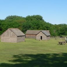
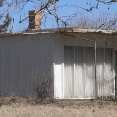
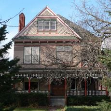
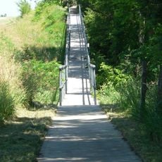
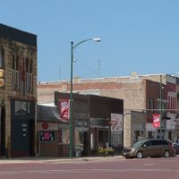
Thayer County is a county in southeastern Nebraska with rolling terrain, vast agricultural fields, and the Little Blue River running through its northern areas. The landscape consists mostly of open farmland dotted with small communities and rural roads.
The territorial legislature created this county in 1856 under the name Jefferson County, then renamed it Thayer County in 1871 to honor Governor John Milton Thayer. This change reflected evolving political priorities during Nebraska's development as a state.
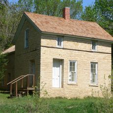
Farming families have shaped this place for generations, and their work remains central to how people live and see themselves here. You can see this connection reflected in local events and the way the community gathers around agricultural traditions.
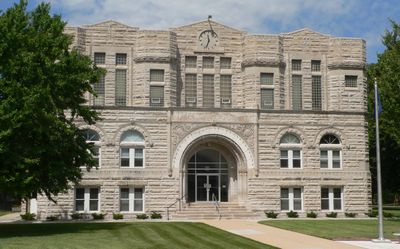
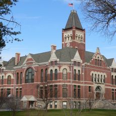
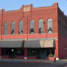
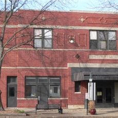
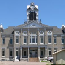
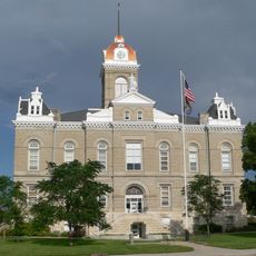
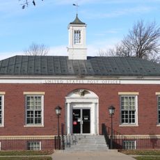
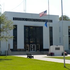
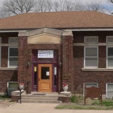
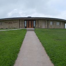
The county seat is located in Hebron, where you can find government services and local information. The area covers a large distance, so a vehicle is necessary for getting around, and traveling between communities takes time.
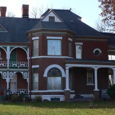
Much of the land here has been farmed by the same families over many decades, preserving deep roots and knowledge about the soil. This continuity in family farming is becoming less common and sets this place apart.
The community of curious travelers
AroundUs brings together thousands of curated places, local tips, and hidden gems, enriched daily by 60,000 contributors worldwide.