
Hampden, town in Massachusetts
Location: Hampden County
Inception: 1741
Elevation above the sea: 88 m
Shares border with: Wilbraham
Website: http://hampden.org
GPS coordinates: 42.06389,-72.41389
Latest update: June 26, 2025 20:26
Forest Park
13.2 km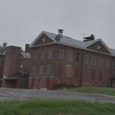
Monson Developmental Center
11.2 km
Hop River State Park Trail
12.7 km
Sonny's Place
9.7 km
Shenipsit State Forest
10.1 km
Van Horn Park
13.3 km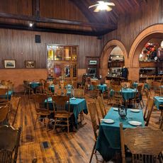
Steaming Tender Restuarant
12.4 km
Enfield Shakers Historic District
10.2 km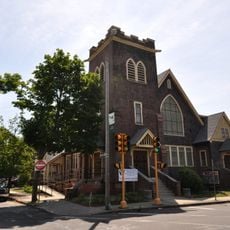
St. John's Congregational Church & Parsonage-Parish for Working Girls
13.7 km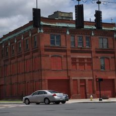
Winchester Square Historic District
13.3 km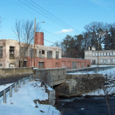
Omega Metal Processing
8.7 km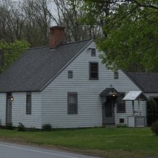
Thornton W. Burgess House
600 m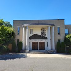
Sinai Temple (Springfield, Massachusetts)
12.4 km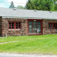
Somersville Historic District
11.2 km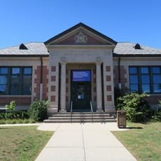
Indian Orchard Branch Library
13 km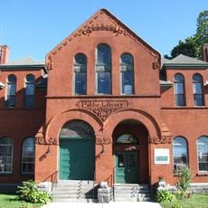
Palmer Memorial Hall
12.5 km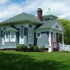
Somers Historic District
9.2 km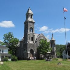
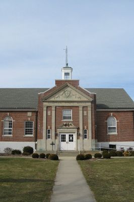
Memorial Town Hall
9.1 km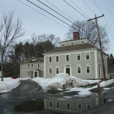
William Norcross House
9.2 km
Academy Historic District
6.9 km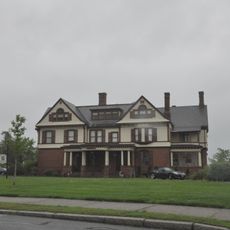
Ames Hill/Crescent Hill District
13.8 km
Ludlow Village Historic District
11.5 km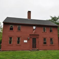
Elijah Burt House
8.4 km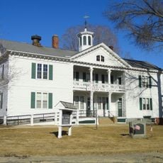
Brimfield Center Historic District
11 km
Swetland-Pease House
7 km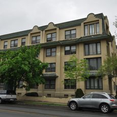
Kenwyn Apartments
12.6 km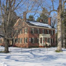
Longmeadow Street-North Historic District
13.6 km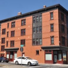
Hancock Apartment Building
13.6 kmReviews
Visited this place? Tap the stars to rate it and share your experience / photos with the community! Try now! You can cancel it anytime.
Discover hidden gems everywhere you go!
From secret cafés to breathtaking viewpoints, skip the crowded tourist spots and find places that match your style. Our app makes it easy with voice search, smart filtering, route optimization, and insider tips from travelers worldwide. Download now for the complete mobile experience.

A unique approach to discovering new places❞
— Le Figaro
All the places worth exploring❞
— France Info
A tailor-made excursion in just a few clicks❞
— 20 Minutes