Chest opened
+${chestReward.xp} XP
Explorer
NOUVEAU ×${chestReward.collectible.quantity}
tapez pour fermer
Chest locked

Open chests in the app

Around Us is built for your phone — chests unlock when you walk, explore and capture nearby places.

Enable Location

We need your location to show you interesting places around you

Discover nearby places

Find interesting locations and hidden gems around you

Precise directions

Get accurate directions and distances to places

Your location is never shared with other users. It's only used when you tap the location button.

Appomattox River

Log in to your account

Start exploring — it's free

Trusted by 72,889 travelers worldwide

Continue with Google
Continue with Apple
or

We will send you a code to connect

By continuing, you accept our Terms and Conditions and our Privacy Policy

Check your inbox

We've sent a pincode in your inbox. Please enter the code below.

Appomattox River
Discussion Reviews 1 Photos
11.6k Popularity

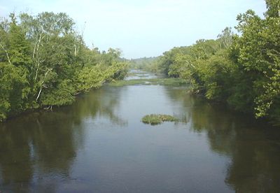
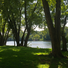
Appomattox River, River in central Virginia, United States.

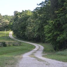
The Appomattox River is a waterway in central Virginia that flows from the northeast part of Appomattox County through rolling terrain toward lower elevations. It joins the James River at City Point in Hopewell, where the two meet.

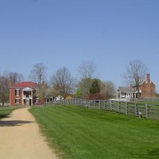
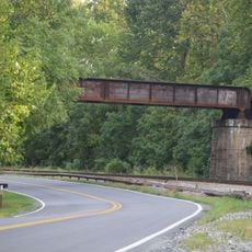
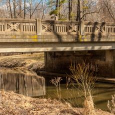
The river played a role in the American Civil War in 1865 when Confederate forces attempted to destroy the High Bridge crossing after Petersburg fell to Union troops. This moment marks a significant turning point in the war's final chapter in the region.

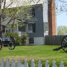
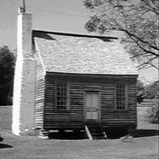
The river takes its name from the Appomattocs, a Native American people who lived along the lower banks in the 1600s. Visitors can learn about this heritage through local stories and museum exhibits that document their presence in the region.

The section below Abutment Dam in Matoaca has several spots where visitors can access the water for fishing and other activities. Conditions vary along the river, so it is worth checking local information before heading out.

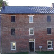
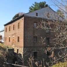
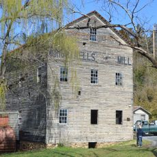
From the 1700s until the 1800s, the river served as a trading route where flat-bottomed boats carried goods from Farmville downriver to Petersburg. Few visitors realize this waterway was once a busy commercial thoroughfare that shaped the area's economy.

The community of curious travelers

AroundUs brings together thousands of curated places, local tips, and hidden gems, enriched daily by 60,000 contributors worldwide.

Start exploring
Location
GPS coordinates
37.40028,-78.82056
Latest update
December 7, 2025 20:49
Around this place
Appomattox Court House National Historical Park
United States of America

Appomattox Court House National Historical Park

3.4 km
McLean House
United States of America

McLean House

3.3 km
Old Appomattox Court House
United States of America

Old Appomattox Court House

3.4 km
Old Appomattox Court House
United States of America

Old Appomattox Court House

3.3 km
James River State Park
United States of America

James River State Park

24.7 km
Holliday Lake State Park
United States of America

Holliday Lake State Park

15.9 km
Appomattox Court House
United States of America

Appomattox Court House

4.6 km
Appomattox Court House National Historical Park ruins
United States of America

Appomattox Court House National Historical Park ruins

3.2 km
Jones Law Office
United States of America

Jones Law Office

3.2 km
Diamond Hill Historic District
United States of America

Diamond Hill Historic District

28.2 km
Peers House
United States of America

Peers House

3.2 km
New County Jail
United States of America

New County Jail

3.4 km
Norfolk Southern Six Mile Bridge No. 58
United States of America

Norfolk Southern Six Mile Bridge No. 58

21.3 km
Charles Sweeney Cabin
United States of America

Charles Sweeney Cabin

3.2 km
Appomattox River Bridge
United States of America

Appomattox River Bridge

3.3 km
Montezuma
United States of America

Montezuma

27.7 km
Holliday Lake 4-H Educational Center
United States of America

Holliday Lake 4-H Educational Center

16 km
Buffalo Presbyterian Church
United States of America

Buffalo Presbyterian Church

26.4 km
Rock Cliff
United States of America

Rock Cliff

27.5 km
Galt's Mill Complex
United States of America

Galt's Mill Complex

24 km
Appomattox Historic District
United States of America

Appomattox Historic District

5.3 km
Brightwells Mill Complex
United States of America

Brightwells Mill Complex

21.1 km
Bocock-Isbell House
United States of America

Bocock-Isbell House

3.2 km
Edge Hill
United States of America

Edge Hill

14.6 km
Perry Hill
United States of America

Perry Hill

24.6 km
Campbell County Courthouse
United States of America

Campbell County Courthouse

28.3 km
Dulwich Manor
United States of America

Dulwich Manor

27.5 km
Blenheim
United States of America

Blenheim

23.1 km
Show the full map
Reviews
Share your experience

No review yet

Discussions
Start a discussion...

No discussion yet

« Appomattox River - River in central Virginia, United States » is provided by Around Us (aroundus.com). Images and texts are derived from Wikimedia project under a Creative Commons license. You are allowed to copy, distribute, and modify copies of this page, under the conditions set by the license, as long as this note is clearly visible.

Discover hidden gems everywhere you go!

From secret cafés to breathtaking viewpoints, skip the crowded tourist spots and find places that match your style. Our app makes it easy with voice search, smart filtering, route optimization, and insider tips from travelers worldwide. Download now for the complete mobile experience.

Around Us App Screenshot

A unique approach to discovering new places

Le Figaro

All the places worth exploring

France Info

A tailor-made excursion in just a few clicks

20 Minutes

Around Us
Travel Guide & Maps
Download

Send to your phone

QR Code
1

Open the camera app on your mobile.

2

Point at the QR code with your camera. A notification will appear.

3

Tap the notification to open the link.