
New Hartford, town in Litchfield County, Connecticut, United States
Location: Northwest Hills Planning Region
Location: Litchfield County
Inception: 1738
Elevation above the sea: 266 m
Address: New Hartford, CT, USA
Website: http://town.new-hartford.ct.us
GPS coordinates: 41.84139,-73.00417
Latest update: April 2, 2025 08:17

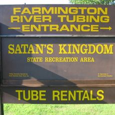
Satan's Kingdom State Recreation Area
4.2 km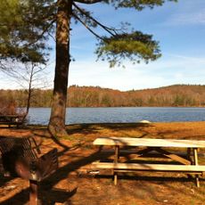
Burr Pond State Park
8.1 km
Pine Meadow Historic District
4.8 km
Nepaug State Forest
3.9 km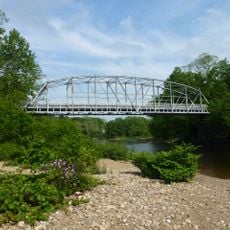
Town Bridge
6.5 km
Sunnybrook State Park
9.7 km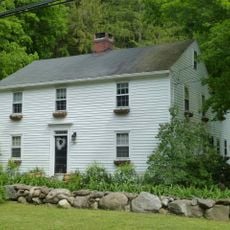
Canton Center Historic District
7.5 km
American Legion State Forest Trails
10.2 km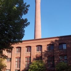
Warrenton Woolen Mill
10.2 km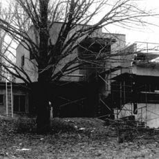
Sun Terrace
1.6 km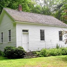
Barkhamsted Center Historic District
10.3 km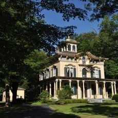
Philip Chapin House
4.7 km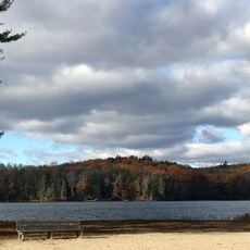
Paugnut State Forest
8.3 km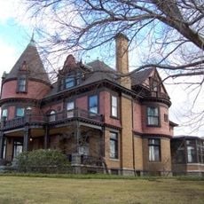
Fyler-Hotchkiss Estate
10.5 km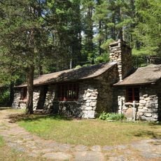
Peoples State Forest Nature Museum
9.4 km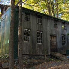
Gillette's Grist Mill
1.7 km
John Wiard House
7.6 km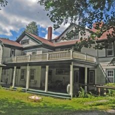
Esperanza
1.7 km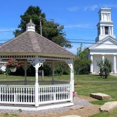
Winsted Green Historic District
10.1 km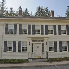
Jason Skinner House
10 km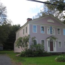
Brown Tavern
8.7 km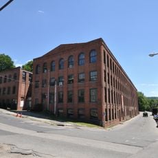
Winsted Hosiery Mill
10.2 km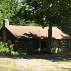
Paugnut State Forest Administration Building
8 km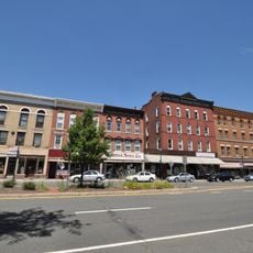
West End Commercial District
10.5 km
Burlington–Harmony Hill Roads Historic District
8.2 km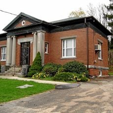
Litchfield–South Roads Historic District
9.1 km
Treadwell House
8.7 km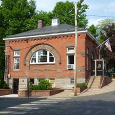
Collinsville Historic District
7.5 kmVisited this place? Tap the stars to rate it and share your experience / photos with the community! Try now! You can cancel it anytime.
Discover hidden gems everywhere you go!
From secret cafés to breathtaking viewpoints, skip the crowded tourist spots and find places that match your style. Our app makes it easy with voice search, smart filtering, route optimization, and insider tips from travelers worldwide. Download now for the complete mobile experience.

A unique approach to discovering new places❞
— Le Figaro
All the places worth exploring❞
— France Info
A tailor-made excursion in just a few clicks❞
— 20 Minutes