Durham, town in Maine, United States
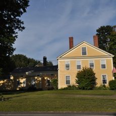
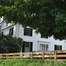
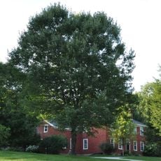
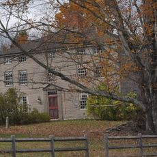
Durham is a small town in Androscoggin County, Maine, marked by quiet streets and residential neighborhoods. The landscape consists of houses with yards, open fields, and forests, threaded by a river and surrounded by nearby lakes and waterways.
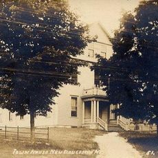
Originally known as Royallsborough, the town was renamed after County Durham in England following settlement by people from that region. It was officially established in February 1789 and has grown gradually around early farms and homes since then.
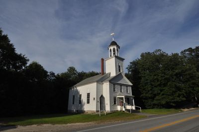
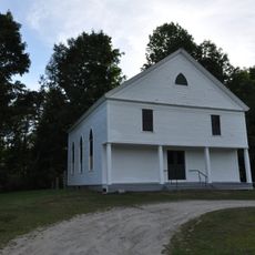
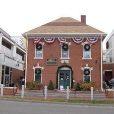
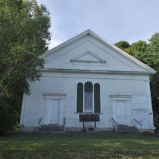
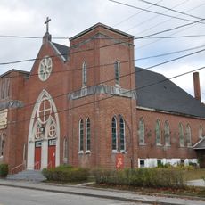
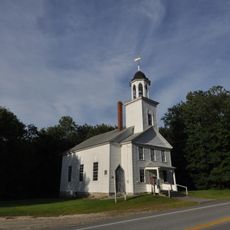
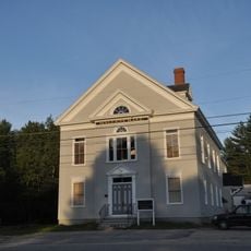
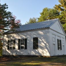
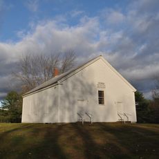
The town takes its name from County Durham in England, the origin of its earliest settlers. The Union Church stands at the heart of community life, serving as a gathering place for local events and religious services.
The town is small enough to walk or bike through, with no large parking lots available. Street parking is common, and for longer trips, well-maintained roads connect to larger nearby towns such as Lewiston and Auburn.
Durham is home to the private Margerison Airport with two unpaved runways, used mainly by small aircraft since 1979. This overlooked airfield is a quiet place that reflects the importance of aviation to the rural region.
The community of curious travelers
AroundUs brings together thousands of curated places, local tips, and hidden gems, enriched daily by 60,000 contributors worldwide.