East Hampton, town in Middlesex County, Connecticut, United States
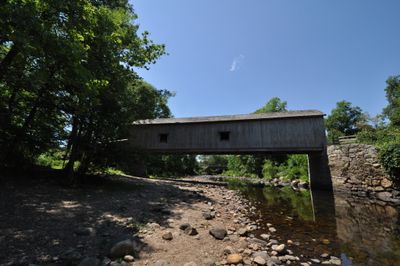
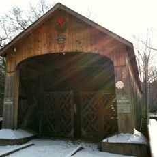
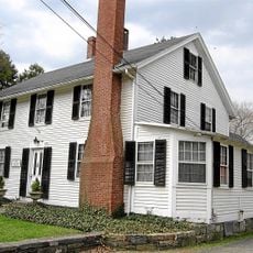
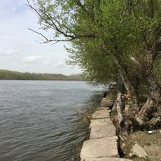
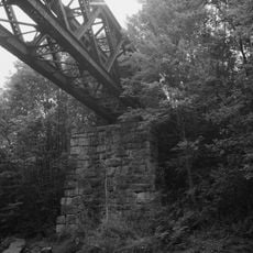
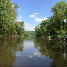
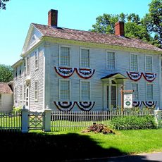
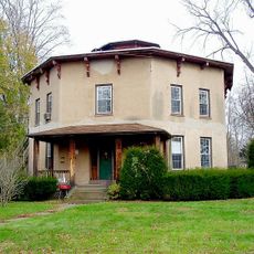
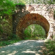
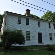
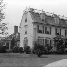
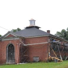
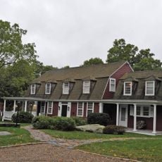
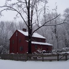
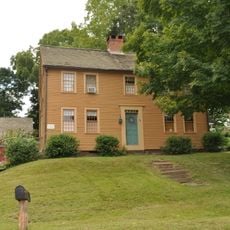
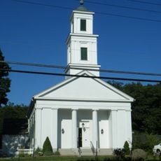
East Hampton is a small town in the Connecticut River valley with a lake called Pocotopaug at its center. The town features old buildings from colonial and federal times, connected by quiet streets and historic structures like a covered bridge.
Originally called Chatham, the town was established in 1767 and built its economy on shipbuilding and rope-making. In the 1800s, the Bevin Brothers company made it famous for bell manufacturing before the town was renamed East Hampton in 1915.
The town's identity remains tied to its shipbuilding and bell-making past, visible in how residents care for historic structures. Local gatherings often center around the lake and historic neighborhoods, where families share stories about the town's industrial heritage.
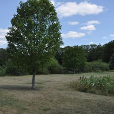
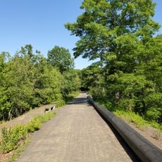
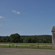
Walk the main streets to view historic houses, and visit Pocotopaug Lake for outdoor activities like fishing or picnicking. The quiet pace makes it easy to explore at your own rhythm without crowds or distractions.
The Bevin Brothers bells were once heard throughout the town, serving practical purposes like marking time and calling people together. This industrial legacy makes East Hampton noteworthy as a place where manufacturing shaped community life in ways still visible today.
The community of curious travelers
AroundUs brings together thousands of curated places, local tips, and hidden gems, enriched daily by 60,000 contributors worldwide.