Chest opened
+${chestReward.xp} XP
Explorer
NOUVEAU ×${chestReward.collectible.quantity}
tapez pour fermer

See the monuments around you in AR Open chests in the app

Around Us is built for your phone — point your camera at the streets and discover the monuments and places around you in augmented reality. Around Us is built for your phone — chests unlock when you walk, explore and capture nearby places.

Enable Location

We need your location to show you interesting places around you

Discover nearby places

Find interesting locations and hidden gems around you

Precise directions

Get accurate directions and distances to places

Your location is never shared with other users. It's only used when you tap the location button.

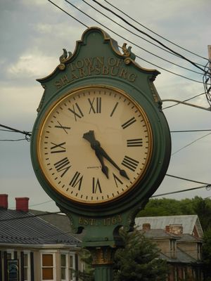
Sharpsburg

Log in to your account

Start exploring — it's free

Trusted by 86,333 travelers worldwide

Continue with Google
Continue with Apple
or

We will send you a code to connect

By continuing, you accept our Terms and Conditions and our Privacy Policy

Check your inbox

We've sent a pincode in your inbox. Please enter the code below.

Discussion Reviews 1 Photos
33.4k Popularity

Sharpsburg, Administrative division in Washington County, Maryland, US

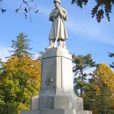
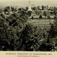
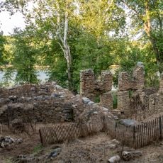
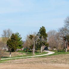
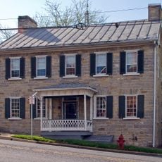
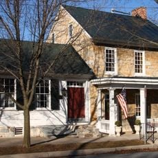
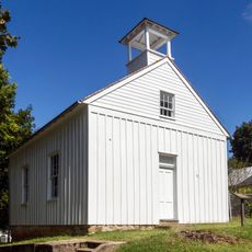
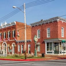
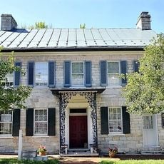
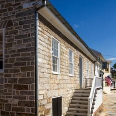
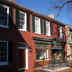
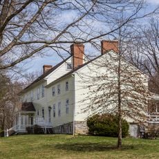
Sharpsburg is a small town in Washington County, Maryland, situated near the Antietam National Battlefield. The settlement features historic buildings and tree-lined streets typical of rural communities in the Appalachian region.

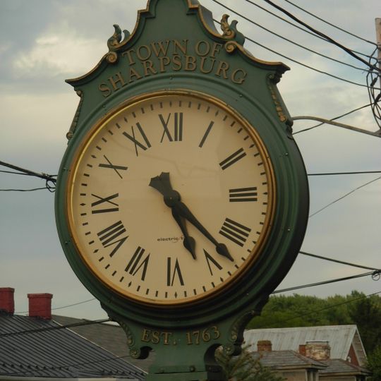
The town was founded in 1763 and named after colonial Governor Horatio Sharpe. It became historically significant due to the nearby Battle of Antietam in 1862, a defining moment for the nation.

The Memorial Day commemoration in Sharpsburg continues annually since 1867, marking one of the longest-running ceremonies in the United States.

The town is accessible via Maryland Routes 34 and 65, connecting it to surrounding communities. Visitors can walk through the compact downtown area and easily reach nearby historical sites.

The town hosts one of the oldest continuously maintained memorials in the nation, with annual ceremonies that began in 1867. This tradition reveals how a small community kept the memory of the battle alive through generations.

The community of curious travelers

AroundUs brings together thousands of curated places, local tips, and hidden gems, enriched daily by 60,000 contributors worldwide.
Start exploring
Inception
1763
Elevation above the sea
128 m
GPS coordinates
39.45733,-77.75051
Latest update
September 12, 2026 04:04
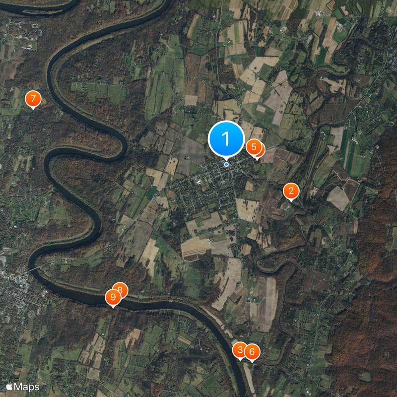
Around this place
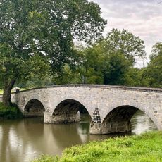
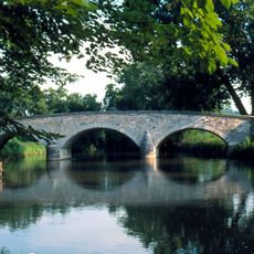
Burnside's Bridge
United States of America

Burnside's Bridge

1.1 mi
Antietam Creek
United States of America

Antietam Creek

2.8 mi
The American Volunteer
United States of America

The American Volunteer

0.5 mi
Antietam National Cemetery
United States of America

Antietam National Cemetery

0.5 mi
Antietam Iron Furnace Site and Antietam Village
United States of America

Antietam Iron Furnace Site and Antietam Village

2.8 mi
United States of America

Boidstones Place

2.9 mi
Packhouse Ford
United States of America

Packhouse Ford

2.4 mi
Potomac Mills
United States of America

Potomac Mills

2.6 mi
Mount Airy
United States of America

Mount Airy

1.1 mi
Piper House
United States of America

Piper House

0.3 mi
Jacob Highbarger House
United States of America

Jacob Highbarger House

320 ft
Tolson's Chapel and School
United States of America

Tolson's Chapel and School

0.2 mi
Sharpsburg Historic District
United States of America

Sharpsburg Historic District

360 ft
William Chapline House
United States of America

William Chapline House

0.1 mi
Hitt's Mill and Houses
United States of America

Hitt's Mill and Houses

2.8 mi
Good-Reilly House
United States of America

Good-Reilly House

0.1 mi
United States of America

Wilson-Miller Farm

1.5 mi
Joseph C. Hays House
United States of America

Joseph C. Hays House

470 ft
United States of America

Mansfield Monument

1.9 mi
United States of America

Philadelphia Brigade Monument

1.5 mi
United States of America

New York State Monument

1.3 mi
Antietam National Battlefield Visitor Center
United States of America

Antietam National Battlefield Visitor Center

1.2 mi
United States of America

Hawkins Zouaves Monument

0.5 mi
United States of America

Maryland Monument

1.3 mi
C&O Canal Antietam Creek Aqueduct
United States of America

C&O Canal Antietam Creek Aqueduct

2.8 mi
United States of America

Lock 39

1.9 mi
United States of America

Lock 40

2.5 mi
United States of America

Georgians Overlook

1.2 mi
Show the full map
Reviews
Share your experience

No review yet

Discussions
Start a discussion...

No discussion yet

« Sharpsburg - Administrative division in Washington County, Maryland, US » is provided by Around Us (aroundus.com). Images and texts are derived from Wikimedia project under a Creative Commons license. You are allowed to copy, distribute, and modify copies of this page, under the conditions set by the license, as long as this note is clearly visible.

Discover hidden gems everywhere you go!

From secret cafés to breathtaking viewpoints, skip the crowded tourist spots and find places that match your style. Our app makes it easy with voice search, smart filtering, route optimization, and insider tips from travelers worldwide. Download now for the complete mobile experience.

Around Us App Screenshot

A unique approach to discovering new places

Le Figaro

All the places worth exploring

France Info

A tailor-made excursion in just a few clicks

20 Minutes

Around Us
Travel Guide & Maps
Download

Send to your phone

QR Code
1

Open the camera app on your mobile.

2

Point at the QR code with your camera. A notification will appear.

3

Tap the notification to open the link.