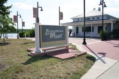
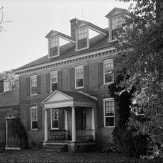
Leonardtown, Administrative center in St. Mary's County, Maryland, US.
Leonardtown is the administrative center of St. Mary's County, Maryland, positioned near where the Potomac River flows into the Chesapeake Bay. The town serves as the main hub for local government offices, businesses, and community institutions.
The settlement was founded in 1660 as Seymour Town and renamed in 1858 to honor Benedict Leonard Calvert, a former Maryland governor. This change in name reflected the town's evolving importance in the region.
The annual National Oyster Festival brings people together to celebrate food, crafts, and the region's deep connection to the water. Local traditions tied to the Chesapeake Bay shape how residents spend their year.
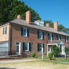
The town center is compact and walkable, with shops and public buildings clustered around main streets. Spring through fall offers the most comfortable time to explore the area, as winters here are mild but often damp.
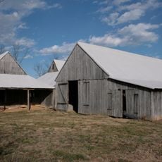
A Mennonite community in the surrounding area contributes distinctively to the local economy through handcrafted furniture, farm products, and traditional goods sold at local markets. Their presence shapes the character of commerce in the region.
Location: St. Mary's County
Inception: 1660
Elevation above the sea: 26 m
Website: http://leonardtown.somd.com
GPS coordinates: 38.29528,-76.63806
Latest update: December 7, 2025 10:03
Governor Thomas Johnson Bridge
15 km
Patuxent River Naval Air Museum
15.4 km
St. Clement's Island State Park
13.4 km
Calvert Marine Museum
15.7 km
St. Francis Xavier Church and Newtown Manor House Historic District
7 km
Drum Point Light
15.8 km
Our Lady Star of the Sea Catholic Church
15.9 km
Jefferson Patterson Park & Museum
16.3 km
Resurrection Manor
12.2 km
Blakistone Island Light
13.5 km
Greenwell State Park
12.6 km
William B. Tennison
15.8 km
Tudor Hall
946 m
United States Colored Troops Memorial Monument
16.9 km
J. C. Lore Oyster House
15.8 km
Bachelor's Hope
14 km
Cobb Point Bar Light
17.5 km
Ocean Hall
14.5 km
Ragged Point Light
16 km
Deep Falls
12.6 km
Preston-on-the-Patuxent
15.9 km
Christ Episcopal Church
15 km
St. George's Episcopal Church
15.1 km
Abell House
710 m
Cecil's Mill Historic District
13.3 km
Sandgates On Cat Creek
12.9 km
Drum Point Lighthouse
15.8 km
Mulberry Fields
11.2 kmVisited this place? Tap the stars to rate it and share your experience / photos with the community! Try now! You can cancel it anytime.
Discover hidden gems everywhere you go!
From secret cafés to breathtaking viewpoints, skip the crowded tourist spots and find places that match your style. Our app makes it easy with voice search, smart filtering, route optimization, and insider tips from travelers worldwide. Download now for the complete mobile experience.
A unique approach to discovering new places❞
— Le Figaro
All the places worth exploring❞
— France Info
A tailor-made excursion in just a few clicks❞
— 20 Minutes