Enable Location

We need your location to show you interesting places around you

Discover nearby places

Find interesting locations and hidden gems around you

Precise directions

Get accurate directions and distances to places

Your location is never shared with other users. It's only used when you tap the location button.

St. Mary's County

Log in to your account

Start exploring — it's free

Trusted by travelers worldwide

Continue with Google
Continue with Apple
or

We will send you a code to connect

By continuing, you accept our Terms and Conditions and our Privacy Policy

Check your inbox

We've sent a pincode in your inbox. Please enter the code below.

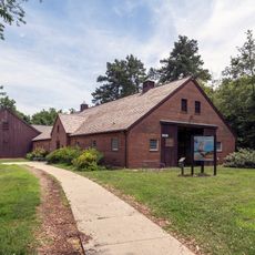
St. Mary's County, Administrative county in Maryland, United States

Description

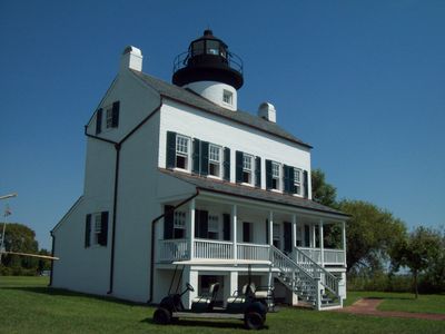
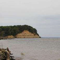
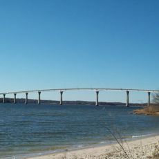
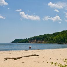
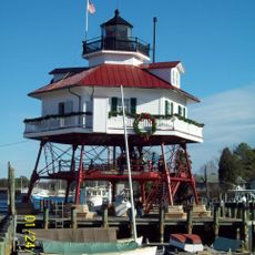
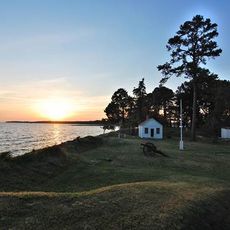
St. Mary's County is an administrative county in Maryland with an expansive water landscape shaped by rivers and Chesapeake Bay waters. The terrain is defined by waterways and coastal areas that cover a large portion of the region.

History

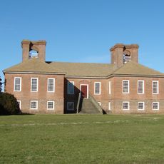
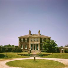
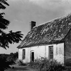
The area was founded in 1637 as Maryland's first established county when English colonists first landed here. This early settlement made it the birthplace of English colonial presence in the region.

Culture

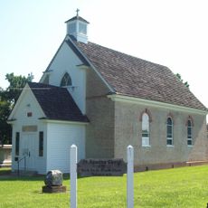
The region has a deep connection to religious tolerance, as early laws protecting freedom of belief originated here. These traditions shape how people of different faiths live together in communities today.

Practical

The region is connected by Maryland Route 235, which links various communities together and to commercial centers. For visitors, using this main road helps access the key areas throughout the county.

Did you know?

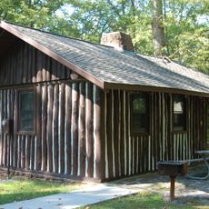
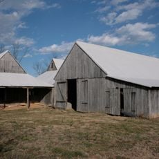
Near Mechanicsville, an active Amish community preserves traditional farming methods practiced since their arrival from Pennsylvania. This community forms a striking contrast to modern development in other parts of the county.

Location
Inception
1637
Capital city
Leonardtown
Part of
California-Lexington Park, MD Metropolitan Statistical Area
Shares border with
Charles County, Calvert County, Dorchester County, Somerset County, Westmoreland County, Northumberland County
GPS coordinates
38.25222,-76.56361
Latest update
December 15, 2025 13:21

AroundUs brings together thousands of curated places, local tips, and hidden gems, enriched daily by 60,000 contributors worldwide. Discover all places nearby (Maryland).

Around this place
Stratford Hall
United States of America

Stratford Hall

26.6 km
Point Lookout State Park
United States of America

Point Lookout State Park

29 km
Calvert Cliffs State Park
United States of America

Calvert Cliffs State Park

20.7 km
Westmoreland State Park
United States of America

Westmoreland State Park

28.3 km
Mount Airy
United States of America

Mount Airy

37 km
Governor Thomas Johnson Bridge
United States of America

Governor Thomas Johnson Bridge

11.5 km
Patuxent River Naval Air Museum
United States of America

Patuxent River Naval Air Museum

9.2 km
St. Clement's Island State Park
United States of America

St. Clement's Island State Park

16.6 km
Point Lookout Light
United States of America

Point Lookout Light

31.8 km
Calvert Marine Museum
United States of America

Calvert Marine Museum

12.3 km
St. Francis Xavier Church and Newtown Manor House Historic District
United States of America

St. Francis Xavier Church and Newtown Manor House Historic District

12 km
Sabine Hall
United States of America

Sabine Hall

39.8 km
St. Ignatius Roman Catholic Church
United States of America

St. Ignatius Roman Catholic Church

16.7 km
Flag Ponds Nature Park
United States of America

Flag Ponds Nature Park

23.5 km
Battle Creek Cypress Swamp Sanctuary
United States of America

Battle Creek Cypress Swamp Sanctuary

27.1 km
Cove Point Light
United States of America

Cove Point Light

21.8 km
Drum Point Light
United States of America

Drum Point Light

12.4 km
Spence's Point
United States of America

Spence's Point

19.2 km
Point No Point Light
United States of America

Point No Point Light

27.6 km
Hooper Island Light
United States of America

Hooper Island Light

27.4 km
Porto Bello
United States of America

Porto Bello

13.1 km
Our Lady Star of the Sea Catholic Church
United States of America

Our Lady Star of the Sea Catholic Church

12.1 km
Jefferson Patterson Park & Museum
United States of America

Jefferson Patterson Park & Museum

17.1 km
Resurrection Manor
United States of America

Resurrection Manor

10.7 km
Blakistone Island Light
United States of America

Blakistone Island Light

16.6 km
Greenwell State Park
United States of America

Greenwell State Park

13.3 km
Point Lookout State Park
United States of America

Point Lookout State Park

29.2 km
William B. Tennison
United States of America

William B. Tennison

12.1 km
Show the full map
Administrative divisions
« St. Mary's County - Administrative county in Maryland, United States » is provided by Around Us (aroundus.com). Images and texts are derived from Wikimedia project under a Creative Commons license. You are allowed to copy, distribute, and modify copies of this page, under the conditions set by the license, as long as this note is clearly visible.

Discover hidden gems everywhere you go!

From secret cafés to breathtaking viewpoints, skip the crowded tourist spots and find places that match your style. Our app makes it easy with voice search, smart filtering, route optimization, and insider tips from travelers worldwide. Download now for the complete mobile experience.

Around Us App Screenshot

A unique approach to discovering new places

Le Figaro

All the places worth exploring

France Info

A tailor-made excursion in just a few clicks

20 Minutes

Around Us
Travel Guide & Maps
Download

Send to your phone

QR Code
1

Open the camera app on your mobile.

2

Point at the QR code with your camera. A notification will appear.

3

Tap the notification to open the link.