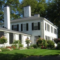
Milton, Historic New England town in Norfolk County, Massachusetts
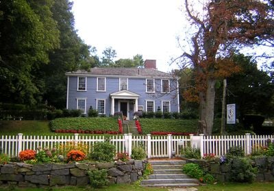
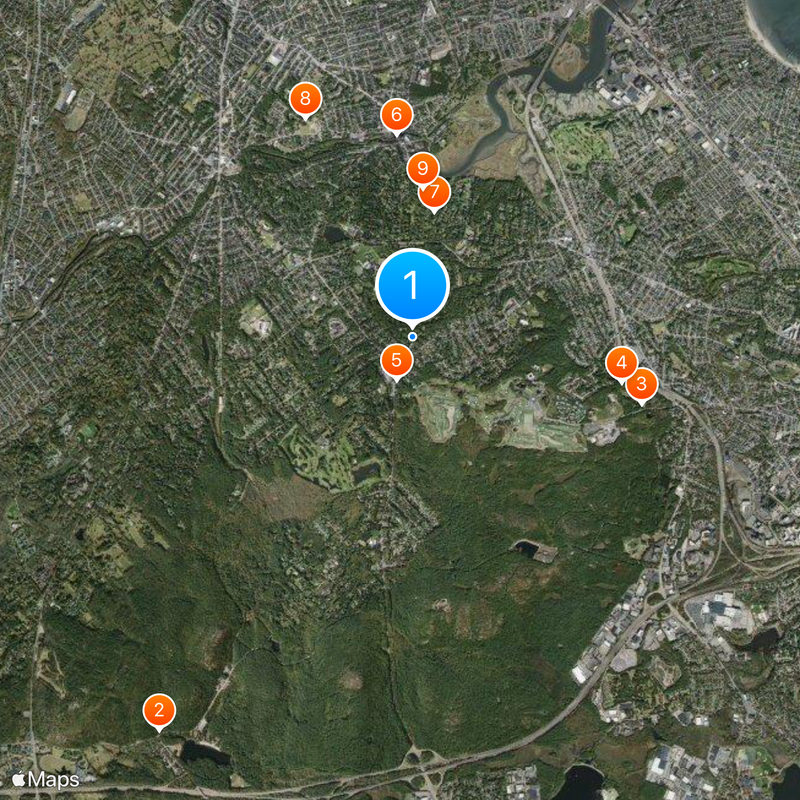
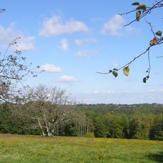
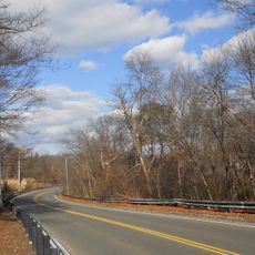
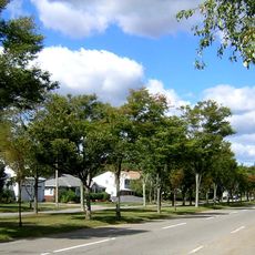
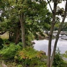
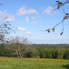
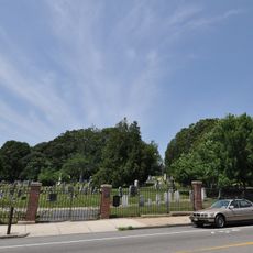
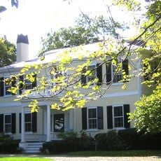
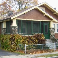
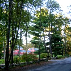
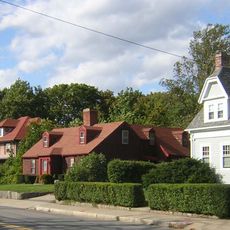
Milton is a town in Norfolk County, Massachusetts, situated between the Neponset River and the Blue Hills and containing several small ponds left by ice age glaciers. The town stretches over roughly 13 square miles (34 km²) and connects residential areas with wooded hills.
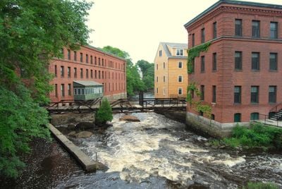
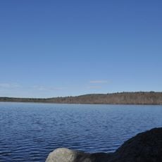
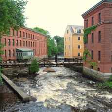
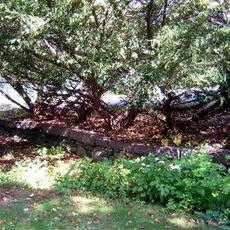
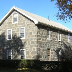
The Neponset tribe called the area Unquatiquisset before English settlers colonized it in 1636 and organized it as the independent town of Milton from 1662. A grist mill along the river was converted into New England's first chocolate factory in 1764.
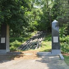
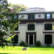
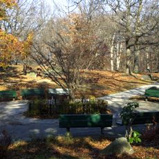
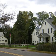
The library and recreation facilities reflect the quiet pace of life in a residential town balanced between urban and countryside influences. Local shops along the main streets connect practical needs with the neighborly character of the town.
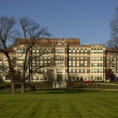
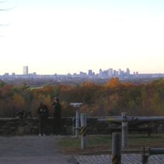
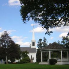
The town offers several elementary schools, a middle school, and a high school for families living in the area. Walking trails in the Blue Hills and parks along the river are accessible by foot or bicycle.
The area around the river was long shaped by water mills that ground grain and later served other purposes. One such site introduced chocolate making to the region in the early second half of the 18th century.
The community of curious travelers
AroundUs brings together thousands of curated places, local tips, and hidden gems, enriched daily by 60,000 contributors worldwide.