Blue Hills Reservation Parkways, Historic parkway network in Norfolk County, Massachusetts, United States
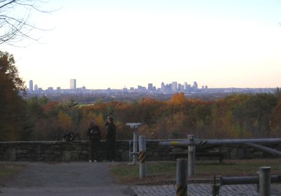
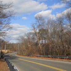
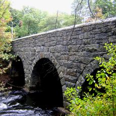
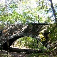
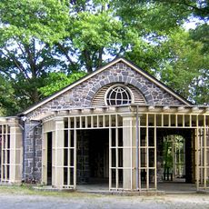
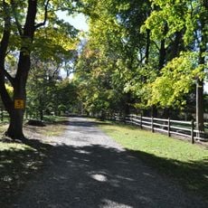
The Blue Hills Reservation Parkways system is a network of six connected roads that spreads across several towns and provides access to trails, viewpoints, and recreation areas. The roads were designed in the late 1800s as a unified parkway plan.
The roads were created in the late 1800s as part of a new movement for public green spaces and roadway systems. These design ideas later influenced the development of similar parks across many other American cities.
The parkways show the landscape design style of the late 1800s as you drive or walk through them. They link different parts of the region and allow visitors to experience nature in an organized way.
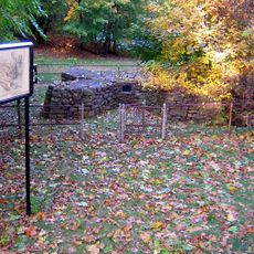
You can drive through the parkways or explore them on foot, with several entry points at different locations. Best visit during dry weather, as rain can make some roads slippery.
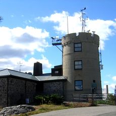
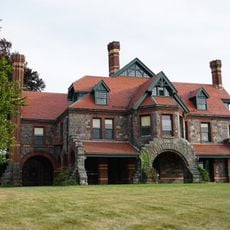
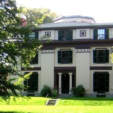
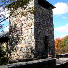
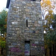
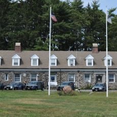
A scientific observatory within the reservation has been collecting weather data since 1885 and maintains one of the longest continuous climate records on the continent. These records help scientists today understand long-term weather and climate trends.
The community of curious travelers
AroundUs brings together thousands of curated places, local tips, and hidden gems, enriched daily by 60,000 contributors worldwide.