Chest opened
+${chestReward.xp} XP
Explorer
NOUVEAU ×${chestReward.collectible.quantity}
tapez pour fermer
Chest locked

Open chests in the app

Around Us is built for your phone — chests unlock when you walk, explore and capture nearby places.

Enable Location

We need your location to show you interesting places around you

Discover nearby places

Find interesting locations and hidden gems around you

Precise directions

Get accurate directions and distances to places

Your location is never shared with other users. It's only used when you tap the location button.

Audubon

Log in to your account

Start exploring — it's free

Trusted by 72,995 travelers worldwide

Continue with Google
Continue with Apple
or

We will send you a code to connect

By continuing, you accept our Terms and Conditions and our Privacy Policy

Check your inbox

We've sent a pincode in your inbox. Please enter the code below.

Discussion Reviews 1 Photos
13.7k Popularity

Audubon, Census-designated place in Lower Providence Township, Pennsylvania, United States

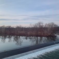
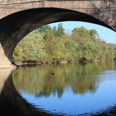
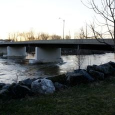
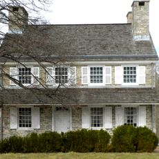
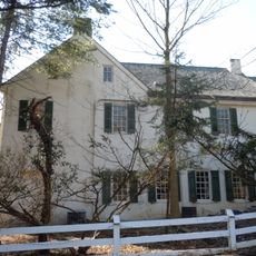
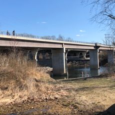
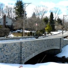
Audubon is a settlement in Lower Providence Township characterized by residential neighborhoods spread across the land between two major waterways. The area includes open fields, wooded sections, and established homes that create a mixed suburban landscape.

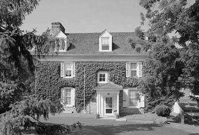
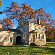
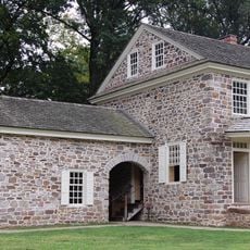
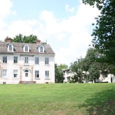
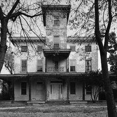
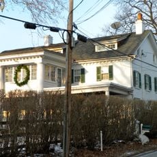
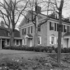
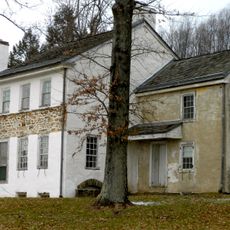
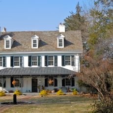
A mansion called Mill Grove was built in 1762 and later served as the early American home of naturalist John James Audubon. The settlement took its name in 1899 to honor the influential naturalist associated with the estate.

The Mill Grove estate functions as an educational center of the National Audubon Society, teaching visitors about natural sciences through exhibitions.

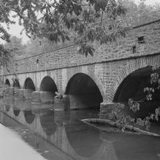
The area connects to recreational trails along the river valleys, offering opportunities for walking and cycling activities. Visitors should wear appropriate footwear as the terrain includes varying elevations and natural ground surfaces.

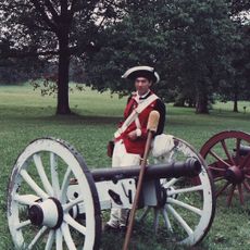
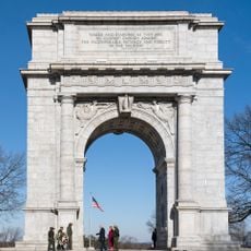
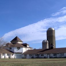
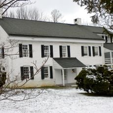
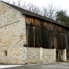
The Pawling Farm area functioned as a supply depot during the Continental Army's winter encampment at Valley Forge in 1777. This overlooked connection highlights the settlement's role in a pivotal moment of American independence.

The community of curious travelers

AroundUs brings together thousands of curated places, local tips, and hidden gems, enriched daily by 60,000 contributors worldwide.

Start exploring
Elevation above the sea
56 m
GPS coordinates
40.13080,-75.42580
Latest update
December 7, 2025 20:25
Around this place
Valley Forge National Historical Park
United States of America

Valley Forge National Historical Park

3.9 km
Valley Forge National Historical Park
United States of America

Valley Forge National Historical Park

3.9 km
Washington's Headquarters
United States of America

Washington's Headquarters

4.5 km
Valley Forge Music Fair
United States of America

Valley Forge Music Fair

6.9 km
National Memorial Arch
United States of America

National Memorial Arch

4.5 km
Selma Mansion
United States of America

Selma Mansion

5.7 km
American Treasure Tour
United States of America

American Treasure Tour

2.6 km
Kennedy Mansion
United States of America

Kennedy Mansion

3 km
Norristown Farm Park
United States of America

Norristown Farm Park

6.4 km
Barbadoes Island
United States of America

Barbadoes Island

6.2 km
Perkiomen Bridge Hotel
United States of America

Perkiomen Bridge Hotel

6.3 km
Perkiomen Bridge
United States of America

Perkiomen Bridge

6.2 km
White Horse Farm
United States of America

White Horse Farm

6.9 km
Old Norriton Presbyterian Church
United States of America

Old Norriton Presbyterian Church

5.4 km
Moore Hall
United States of America

Moore Hall

6 km
Mont Clare Bridge
United States of America

Mont Clare Bridge

7.1 km
Gen. Frederick Von Steuben Headquarters
United States of America

Gen. Frederick Von Steuben Headquarters

5.2 km
David Harvard House
United States of America

David Harvard House

7.1 km
Evansburg Historic District
United States of America

Evansburg Historic District

6.5 km
Cressbrook Farm
United States of America

Cressbrook Farm

6.3 km
Sullivan's Bridge
United States of America

Sullivan's Bridge

2.6 km
Skippack Bridge
United States of America

Skippack Bridge

5.5 km
Maj. Gen. Lord Stirling Quarters
United States of America

Maj. Gen. Lord Stirling Quarters

6.1 km
Joseph Walker House
United States of America

Joseph Walker House

6.1 km
Greenwood Farm
United States of America

Greenwood Farm

7 km
Bridge in Tredyffrin Township
United States of America

Bridge in Tredyffrin Township

4.3 km
Federal Barn
United States of America

Federal Barn

6.3 km
West Norristown Historic District
United States of America

West Norristown Historic District

6.3 km
Show the full map
Reviews
Share your experience

No review yet

Discussions
Start a discussion...

No discussion yet

« Audubon - Census-designated place in Lower Providence Township, Pennsylvania, United States » is provided by Around Us (aroundus.com). Images and texts are derived from Wikimedia project under a Creative Commons license. You are allowed to copy, distribute, and modify copies of this page, under the conditions set by the license, as long as this note is clearly visible.

Discover hidden gems everywhere you go!

From secret cafés to breathtaking viewpoints, skip the crowded tourist spots and find places that match your style. Our app makes it easy with voice search, smart filtering, route optimization, and insider tips from travelers worldwide. Download now for the complete mobile experience.

Around Us App Screenshot

A unique approach to discovering new places

Le Figaro

All the places worth exploring

France Info

A tailor-made excursion in just a few clicks

20 Minutes

Around Us
Travel Guide & Maps
Download

Send to your phone

QR Code
1

Open the camera app on your mobile.

2

Point at the QR code with your camera. A notification will appear.

3

Tap the notification to open the link.