Solomons, Maritime community at Patuxent River and Chesapeake Bay, United States
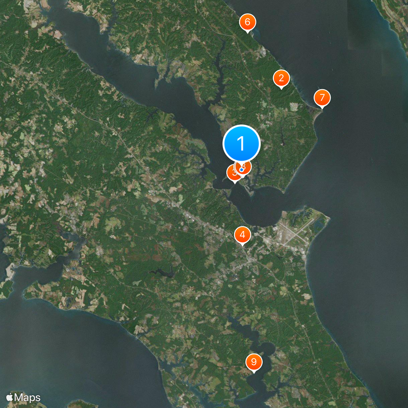
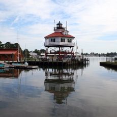
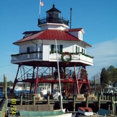
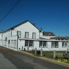
Solomons is a coastal community where the Patuxent River meets the Chesapeake Bay at the southern end of Calvert County. The area has a working harbor, a waterfront boardwalk with restaurants and shops, and the Calvert Marine Museum that displays maritime history and exhibits.
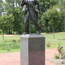
In the 1800s, an oyster farmer named Isaac Solomon established a successful business that gave the area its name. During World War II, the location became a major naval training facility that served thousands of troops preparing for amphibious operations.
The area is named after an oyster farmer from the 1800s and reflects that heritage through museums and gardens visible around the waterfront. Visitors can explore local art exhibitions and sculpture collections that show the connection between people and the water.
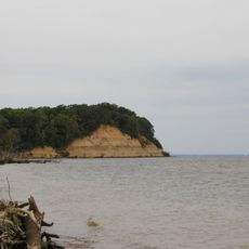
The Governor Thomas Johnson Bridge connects this area to neighboring St. Mary's County and is the main way to drive in. There are many restaurants, marinas, and a waterfront boardwalk where you can walk around and explore at your own pace.
The area is home to the Chesapeake Biological Laboratory, a research center studying local marine ecosystems and their health. The laboratory runs an aquarium with living oyster reefs that shows how these animals help keep the bay clean and balanced.
The community of curious travelers
AroundUs brings together thousands of curated places, local tips, and hidden gems, enriched daily by 60,000 contributors worldwide.