Brooklyn Park

Log in to your account

AroundUs is a community-driven map of interesting places, built by curious explorers like you. It grows with every review, story, and photo you share.
Connect to save your favorite spots, contribute locations, and create personalized routes.
By continuing, you accept our Terms and Conditions and our Privacy Policy
Add to collection
Map
Suggest a change
Share

Brooklyn Park, Administrative division in Minnesota, United States.

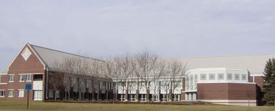
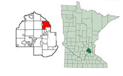
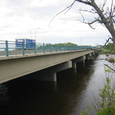
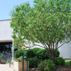
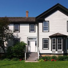
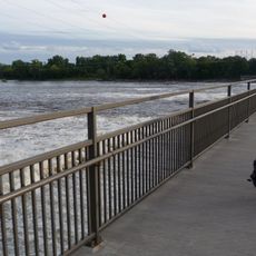
Brooklyn Park is a suburb in Hennepin County located along the Mississippi River's west bank in northern Minnesota, containing a mix of residential neighborhoods and local amenities. The city features residential areas, community gathering spaces, and green areas that serve residents and visitors throughout the year.

The settlement originated in the 1850s, founded by residents who came from a Michigan town of the same name and chose to honor their birthplace through the new community's name. Formal incorporation as a village occurred in the mid-20th century, marking a transition toward organized municipal development.

The city reflects its multicultural identity through the daily presence of families from various backgrounds who shape neighborhood events and local gathering spaces. This diversity appears in local shops, gathering places, and the way residents share and celebrate their traditions.

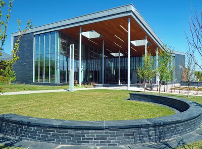
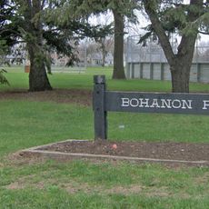
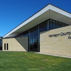
The city features clear streets and public spaces that are accessible to visitors exploring the area. The main administrative offices are centrally located and serve as a reference point for finding local information and services.

A notable former mayor led the city during the 1990s before pursuing a statewide political career, bringing unexpected attention to the community. This unusual trajectory of local leadership became a memorable part of the city's recent past.

Location: Hennepin County

Inception: 1850

Elevation above the sea: 265 m

Shares border with: Brooklyn Center, Crystal, New Hope, Maple Grove, Champlin, Osseo, Coon Rapids

Website: https://brooklynpark.org

GPS coordinates: 45.09417,-93.35611

Latest update: December 6, 2025 21:27

Around this place
Show the full map
Heights Theater
United States of America

Heights Theater

10.5 km
Coon Rapids High School
United States of America

Coon Rapids High School

10 km
Victory Memorial Parkway
United States of America

Victory Memorial Parkway

7 km
Camden Bridge
United States of America

Camden Bridge

9 km
Anoka-Champlin Mississippi River Bridge
United States of America

Anoka-Champlin Mississippi River Bridge

11.3 km
Webber Park Library
United States of America

Webber Park Library

7.9 km
Columbia Heights Public Library
United States of America

Columbia Heights Public Library

10.2 km
North Mississippi Regional Park
United States of America

North Mississippi Regional Park

8.1 km
Richard P. Braun Bridge
United States of America

Richard P. Braun Bridge

6 km
Canadian Pacific Camden Place Rail Bridge
United States of America

Canadian Pacific Camden Place Rail Bridge

9.3 km
Brooklyn Park Library
United States of America

Brooklyn Park Library

2.4 km
Brookdale Library
United States of America

Brookdale Library

4.8 km
Banfill Tavern
United States of America

Banfill Tavern

6.2 km
Lawrence A. and Mary Fournier House
United States of America

Lawrence A. and Mary Fournier House

9.1 km
Colonial Hall and Masonic Lodge No. 30
United States of America

Colonial Hall and Masonic Lodge No. 30

11.7 km
Bohanon Park
United States of America

Bohanon Park

7.4 km
Osseo Water Tower
United States of America

Osseo Water Tower

4.7 km
Champlin Library
United States of America

Champlin Library

9.5 km
Heman L. Ticknor House
United States of America

Heman L. Ticknor House

11.4 km
Robbinsdale Library
United States of America

Robbinsdale Library

7.1 km
Spanjers Park
United States of America

Spanjers Park

7.1 km
Webber Park
United States of America

Webber Park

8.4 km
Elm Creek Park Reserve
United States of America

Elm Creek Park Reserve

9.9 km
Maple Grove Library
United States of America

Maple Grove Library

6.6 km
Rockford Road Library
United States of America

Rockford Road Library

6.9 km
Coon Rapids Dam Regional Park
United States of America

Coon Rapids Dam Regional Park

6.7 km
Folwell Park
United States of America

Folwell Park

9.2 km
Thomas Hollingsworth Park
United States of America

Thomas Hollingsworth Park

7.5 km
Show the full map

Reviews

Visited this place? Tap the stars to rate it and share your experience / photos with the community! Try now! You can cancel it anytime.

« Brooklyn Park - Administrative division in Minnesota, United States » is provided by Around Us (aroundus.com). Images and texts are derived from Wikimedia project under a Creative Commons license. You are allowed to copy, distribute, and modify copies of this page, under the conditions set by the license, as long as this note is clearly visible.

Discover hidden gems everywhere you go!

From secret cafés to breathtaking viewpoints, skip the crowded tourist spots and find places that match your style. Our app makes it easy with voice search, smart filtering, route optimization, and insider tips from travelers worldwide. Download now for the complete mobile experience.

Around Us App Screenshot

A unique approach to discovering new places

Le Figaro

All the places worth exploring

France Info

A tailor-made excursion in just a few clicks

20 Minutes