Enable Location

We need your location to show you interesting places around you

Discover nearby places

Find interesting locations and hidden gems around you

Precise directions

Get accurate directions and distances to places

Your location is never shared with other users. It's only used when you tap the location button.

Bedford Village Archeological Site

Log in to your account

Start exploring — it's free

Trusted by 63,118 travelers worldwide

Continue with Google
Continue with Apple
or

We will send you a code to connect

By continuing, you accept our Terms and Conditions and our Privacy Policy

Check your inbox

We've sent a pincode in your inbox. Please enter the code below.

Discussion Reviews 1 Photos
3.8k Popularity

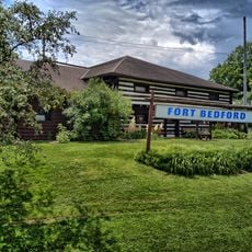
Bedford Village Archeological Site, Archaeological site in Bedford Township, Pennsylvania.

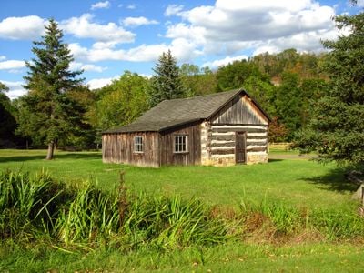
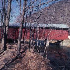
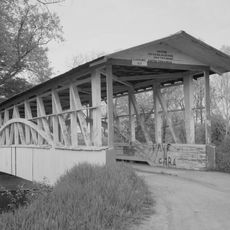
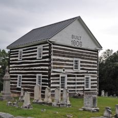
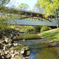
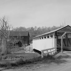
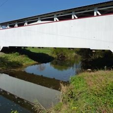
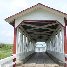
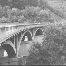
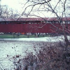
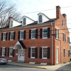
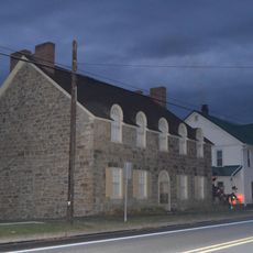
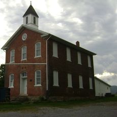
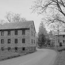
Bedford Village Archaeological Site is an open-air museum on riverside grounds featuring historic buildings relocated from surrounding communities and the excavated remains of earlier structures. Visitors can walk through spaces that showcase both 19th-century buildings and archaeological evidence of settlement patterns spanning multiple periods.

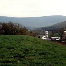
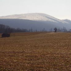
The location hosted Native American settlements across several centuries, with early Monongahela villages featuring circular houses giving way to later Shenks Ferry occupation. Archaeological layers revealed successive phases of use at this riverside location, showing how different groups adapted to the landscape.

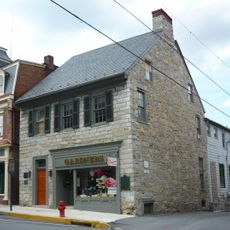
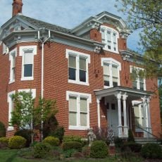
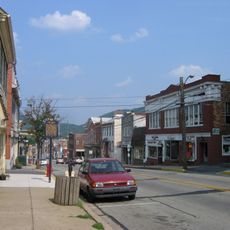
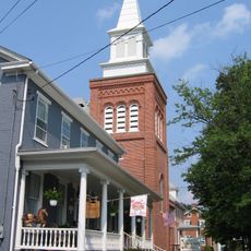
The site is named after Bedford, an early settlement in the region, and displays buildings moved here from surrounding communities that reflect how people in central Pennsylvania once lived and worked. These structures show the domestic and communal spaces that shaped daily life in the 19th century.

The grounds are accessible on foot with pathways connecting the relocated buildings and excavation sites for easy exploration. Guided tours help visitors understand the archaeological findings and the layout of different structures across the property.

Hidden archaeological layers lie beneath the relocated buildings, stacked with different cultures spanning thousands of years of occupation at this location. Visitors can see how excavations revealed these overlapping stories through careful analysis of what was found in the ground.

The community of curious travelers

AroundUs brings together thousands of curated places, local tips, and hidden gems, enriched daily by 60,000 contributors worldwide.

Start exploring
Location
GPS coordinates
40.04200,-78.51067
Latest update
December 11, 2025 18:06
Around this place
Shawnee State Park
United States of America

Shawnee State Park

10.8 km
Buchanan State Forest
United States of America

Buchanan State Forest

23.6 km
The Coffee Pot
United States of America

The Coffee Pot

2.2 km
Martin Hill
United States of America

Martin Hill

22.6 km
Espy House
United States of America

Espy House

2.6 km
New Baltimore Bridge
United States of America

New Baltimore Bridge

23.1 km
United States of America

The Narrows

4.4 km
Diehls Covered Bridge
United States of America

Diehls Covered Bridge

12.3 km
Kinton Knob
United States of America

Kinton Knob

4.9 km
Barclay House
United States of America

Barclay House

3 km
Chestnut Ridge and Schellsburg Union Church and Cemetery
United States of America

Chestnut Ridge and Schellsburg Union Church and Cemetery

12.4 km
New Paris Covered Bridge
United States of America

New Paris Covered Bridge

14.6 km
Dr. Knisley Covered Bridge
United States of America

Dr. Knisley Covered Bridge

15.3 km
Jacksons Mill Covered Bridge
United States of America

Jacksons Mill Covered Bridge

21.9 km
Ryot Covered Bridge
United States of America

Ryot Covered Bridge

14.8 km
Halls Mill Covered Bridge
United States of America

Halls Mill Covered Bridge

18.8 km
Bridge in Snake Spring Township
United States of America

Bridge in Snake Spring Township

4.5 km
Bedford Historic District
United States of America

Bedford Historic District

3 km
Feltons Mill Covered Bridge
United States of America

Feltons Mill Covered Bridge

20.4 km
Everett Historic District
United States of America

Everett Historic District

12.3 km
Heirline Covered Bridge
United States of America

Heirline Covered Bridge

7.6 km
Russell House
United States of America

Russell House

2.9 km
Snooks Covered Bridge
United States of America

Snooks Covered Bridge

15.3 km
Osterburg Covered Bridge
United States of America

Osterburg Covered Bridge

15.2 km
Schellsburg Historic District
United States of America

Schellsburg Historic District

11.3 km
New Enterprise Public School
United States of America

New Enterprise Public School

16.9 km
Fort Bedford Museum
United States of America

Fort Bedford Museum

2.5 km
Juniata Woolen Mill and Newry Manor
United States of America

Juniata Woolen Mill and Newry Manor

7.5 km
Show the full map
Reviews
Share your experience

No review yet

Discussions
Start a discussion...

No discussion yet

« Bedford Village Archeological Site - Archaeological site in Bedford Township, Pennsylvania » is provided by Around Us (aroundus.com). Images and texts are derived from Wikimedia project under a Creative Commons license. You are allowed to copy, distribute, and modify copies of this page, under the conditions set by the license, as long as this note is clearly visible.

Discover hidden gems everywhere you go!

From secret cafés to breathtaking viewpoints, skip the crowded tourist spots and find places that match your style. Our app makes it easy with voice search, smart filtering, route optimization, and insider tips from travelers worldwide. Download now for the complete mobile experience.

Around Us App Screenshot

A unique approach to discovering new places

Le Figaro

All the places worth exploring

France Info

A tailor-made excursion in just a few clicks

20 Minutes

Around Us
Travel Guide & Maps
Download

Send to your phone

QR Code
1

Open the camera app on your mobile.

2

Point at the QR code with your camera. A notification will appear.

3

Tap the notification to open the link.