Chest opened
+${chestReward.xp} XP
Explorer
NOUVEAU ×${chestReward.collectible.quantity}
tapez pour fermer

See the monuments around you in AR Open chests in the app

Around Us is built for your phone — point your camera at the streets and discover the monuments and places around you in augmented reality. Around Us is built for your phone — chests unlock when you walk, explore and capture nearby places.

Enable Location

We need your location to show you interesting places around you

Discover nearby places

Find interesting locations and hidden gems around you

Precise directions

Get accurate directions and distances to places

Your location is never shared with other users. It's only used when you tap the location button.

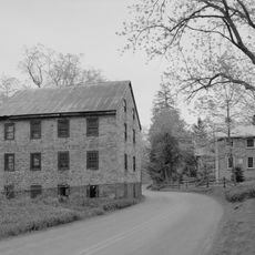
Buchanan State Forest

Log in to your account

Start exploring — it's free

Trusted by 85,583 travelers worldwide

Continue with Google
Continue with Apple
or

We will send you a code to connect

By continuing, you accept our Terms and Conditions and our Privacy Policy

Check your inbox

We've sent a pincode in your inbox. Please enter the code below.

Buchanan State Forest
Discussion Reviews 1 Photos
4.2k Popularity

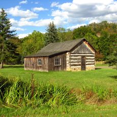
Buchanan State Forest, Protected forest in Bedford County, Pennsylvania, US.

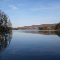
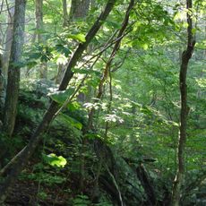
Buchanan State Forest is a protected woodland in Pennsylvania that covers three counties with mixed oak forests, white pine, dogwood, and mountain laurel. The land is managed by the Bureau of Forestry, which oversees water protection, public recreation, and timber harvesting.

In 1895, Dr. Joseph Rothrock began purchasing land after lumber companies had cleared large areas of forest across the region. Those early acquisitions became the foundation of the protected land that exists today.

The forest holds traces of Forbes Road, built during the French and Indian War, which visitors can now walk along as part of the hiking trail network.

The forest has several entry points and trails for visitors of different fitness levels, so it is worth planning your route before setting out. Since the land is spread across separate areas, knowing which section you want to visit will save time.

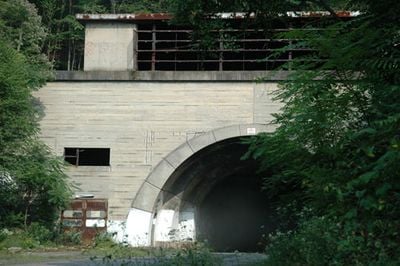
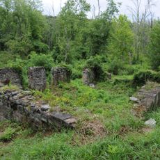
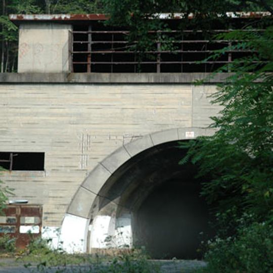
A sandstone aqueduct built in the 1880s still stands in the forest as a remnant of a railroad project that was never finished. The structure sits quietly among the trees, easy to miss if you do not know to look for it.

The community of curious travelers

AroundUs brings together thousands of curated places, local tips, and hidden gems, enriched daily by 60,000 contributors worldwide.
Start exploring
Location
GPS coordinates
39.83190,-78.54830
Latest update
August 30, 2026 15:20
Around this place
Rocky Gap State Park
United States of America

Rocky Gap State Park

10 mi
Shawnee State Park
United States of America

Shawnee State Park

14.2 mi
United States of America

Mid State Trail

2.7 mi
Green Ridge State Forest
United States of America

Green Ridge State Forest

14.7 mi
Bedford Village Archeological Site
United States of America

Bedford Village Archeological Site

14.7 mi
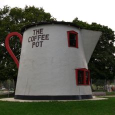
The Coffee Pot
United States of America

The Coffee Pot

13.3 mi
Martin Hill
United States of America

Martin Hill

0.6 mi
Espy House
United States of America

Espy House

13.2 mi
New Baltimore Bridge
United States of America

New Baltimore Bridge

16 mi
United States of America

The Narrows

13.3 mi
Diehls Covered Bridge
United States of America

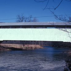
Diehls Covered Bridge

13.4 mi
United States of America

State Game Lands Number 49

11.7 mi
Kinton Knob
United States of America

Kinton Knob

12.6 mi
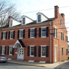
Barclay House
United States of America

Barclay House

12.9 mi
Breakneck Road Historic District
United States of America

Breakneck Road Historic District

11.2 mi
Bridge in Snake Spring Township
United States of America

Bridge in Snake Spring Township

13.3 mi
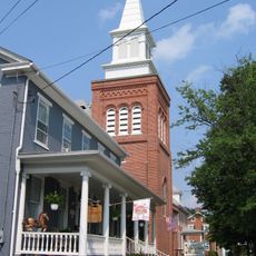
Bedford Historic District
United States of America

Bedford Historic District

13.1 mi
Packsaddle Bridge
United States of America

Packsaddle Bridge

14.5 mi
Folck's Mill
United States of America

Folck's Mill

14.4 mi
Everett Historic District
United States of America

Everett Historic District

15.6 mi
Phoenix Mill Farm
United States of America

Phoenix Mill Farm

11.4 mi
Heirline Covered Bridge
United States of America

Heirline Covered Bridge

13 mi
Fischtner Covered Bridge
United States of America

Fischtner Covered Bridge

11.8 mi
Russell House
United States of America

Russell House

13 mi
Hewitt Covered Bridge
United States of America

Hewitt Covered Bridge

5.7 mi
Schellsburg Historic District
United States of America

Schellsburg Historic District

15.8 mi
Fort Bedford Museum
United States of America

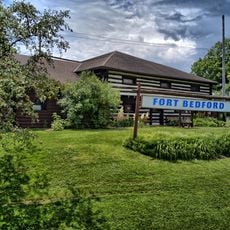
Fort Bedford Museum

13.2 mi
Juniata Woolen Mill and Newry Manor
United States of America

Juniata Woolen Mill and Newry Manor

14.1 mi
Show the full map
Reviews
Share your experience

No review yet

Discussions
Start a discussion...

No discussion yet

« Buchanan State Forest - Protected forest in Bedford County, Pennsylvania, US » is provided by Around Us (aroundus.com). Images and texts are derived from Wikimedia project under a Creative Commons license. You are allowed to copy, distribute, and modify copies of this page, under the conditions set by the license, as long as this note is clearly visible.

Discover hidden gems everywhere you go!

From secret cafés to breathtaking viewpoints, skip the crowded tourist spots and find places that match your style. Our app makes it easy with voice search, smart filtering, route optimization, and insider tips from travelers worldwide. Download now for the complete mobile experience.

Around Us App Screenshot

A unique approach to discovering new places

Le Figaro

All the places worth exploring

France Info

A tailor-made excursion in just a few clicks

20 Minutes

Around Us
Travel Guide & Maps
Download

Send to your phone

QR Code
1

Open the camera app on your mobile.

2

Point at the QR code with your camera. A notification will appear.

3

Tap the notification to open the link.