Bennington

Log in to your account

AroundUs is a community-driven map of interesting places, built by curious explorers like you. It grows with every review, story, and photo you share.
Connect to save your favorite spots, contribute locations, and create personalized routes.
Continue with Google
Continue with Apple
Continue with X
Continue with Facebook
Continue with email
By continuing, you accept our Terms and Conditions and our Privacy Policy
Create an account
Add to collection
Map
Suggest a change
Share

Bennington, County seat in southern Vermont, United States.

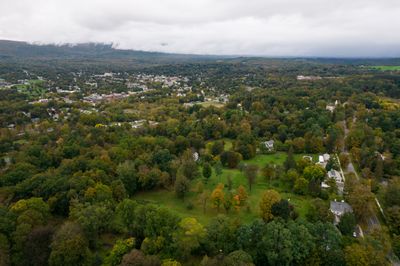
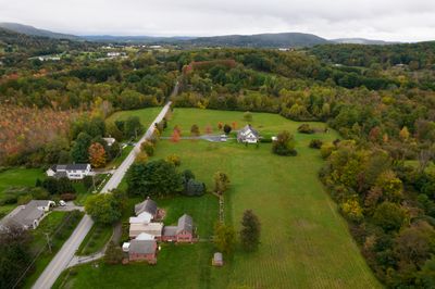
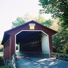
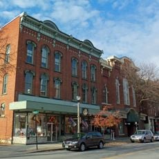
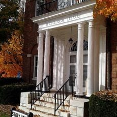
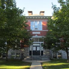
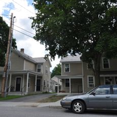
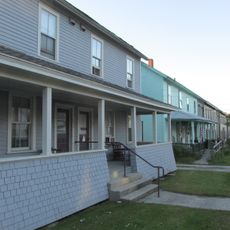
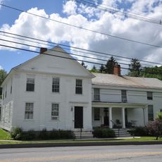
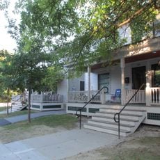
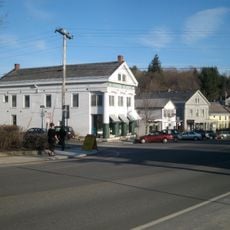
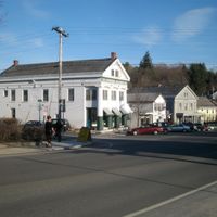
Bennington is a small town in southern Vermont that serves as the administrative center of Bennington County and stretches along the Walloomsac River. The town sits at an elevation of around 249 meters and combines residential neighborhoods with a compact center filled with shops and services.

The Battle of Bennington in August 1777 resulted in a major defeat of German mercenaries fighting for the British Army by militia forces from New Hampshire and Vermont. This victory helped halt the British offensive in the Hudson Valley and influenced the course of the Revolutionary War.

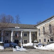
The Bennington Museum houses a significant collection of works by folk artist Grandma Moses, who spent her later career in the region. Visitors can walk through galleries displaying local craft traditions and historical objects from several centuries.

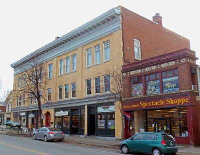
The town center offers access to cafes, shops, and medical facilities that cover daily needs. The regional airport lies a few kilometers outside and connects the area with other parts of New England.

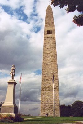
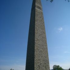
The Bennington Battle Monument was completed in 1891 and rises to a height of about 93 meters above the town, making it the tallest structure in all of Vermont. Visitors can use an elevator to reach the observation platform and look out over the surrounding hills and valleys.

Location: Bennington County

Inception: January 3, 1749

Elevation above the sea: 249 m

Website: http://bennington.com

GPS coordinates: 42.88520,-73.21319

Latest update: December 13, 2025 18:28

Photos
Around this place
Bennington Battle Monument
United States of America

Bennington Battle Monument

489 m
Catamount Tavern
United States of America

Catamount Tavern

88 m
Bennington Historical Museum
United States of America

Bennington Historical Museum

337 m
Park-McCullough Historic House
United States of America

Park-McCullough Historic House

5.5 km
Silk Covered Bridge
United States of America

Silk Covered Bridge

2.9 km
Burt Henry Covered Bridge
United States of America

Burt Henry Covered Bridge

4.6 km
Paper Mill Village Bridge
United States of America

Paper Mill Village Bridge

3.5 km
Henry House
United States of America

Henry House

4.3 km
Downtown Bennington Historic District
United States of America

Downtown Bennington Historic District

1.5 km
H.C. White Company Mill Complex
United States of America

H.C. White Company Mill Complex

4.3 km
Old Bennington High School
United States of America

Old Bennington High School

2.1 km
One World Conservation Center
United States of America

One World Conservation Center

2.9 km
McCullough Free Library
United States of America

McCullough Free Library

5.5 km
W. H. Bradford Hook and Ladder Fire House
United States of America

W. H. Bradford Hook and Ladder Fire House

2.1 km
Frederick Squire House
United States of America

Frederick Squire House

1.5 km
Bennington Post Office
United States of America

Bennington Post Office

1.5 km
Cora B. Whitney School
United States of America

Cora B. Whitney School

2.5 km
Furnace Grove Historic District
United States of America

Furnace Grove Historic District

4.6 km
Carrigan Lane Historic District
United States of America

Carrigan Lane Historic District

2 km
Holden-Leonard Workers Housing Historic District
United States of America

Holden-Leonard Workers Housing Historic District

941 m
United States of America

Julius and Sophia Norton House

1.8 km
Pratt-McDaniels-LaFlamme House
United States of America

Pratt-McDaniels-LaFlamme House

1.9 km
School Street Duplexes
United States of America

School Street Duplexes

1.5 km
Dutchman's Tavern
United States of America

Dutchman's Tavern

1.3 km
North Bennington Historic District
United States of America

North Bennington Historic District

5.5 km
United States of America

Bennington Movie Plex 3

5.9 km
United States of America

Old Bennington Historic District

116 m
The Orchards
United States of America

The Orchards

1.9 km
Show the full map
Reviews

Visited this place? Tap the stars to rate it and share your experience / photos with the community! Try now! You can cancel it anytime.

Administrative divisions
« Bennington - County seat in southern Vermont, United States » is provided by Around Us (aroundus.com). Images and texts are derived from Wikimedia project under a Creative Commons license. You are allowed to copy, distribute, and modify copies of this page, under the conditions set by the license, as long as this note is clearly visible.

Discover hidden gems everywhere you go!

From secret cafés to breathtaking viewpoints, skip the crowded tourist spots and find places that match your style. Our app makes it easy with voice search, smart filtering, route optimization, and insider tips from travelers worldwide. Download now for the complete mobile experience.

Around Us App Screenshot

A unique approach to discovering new places

Le Figaro

All the places worth exploring

France Info

A tailor-made excursion in just a few clicks

20 Minutes