Bennington County

Log in to your account

AroundUs is a community-driven map of interesting places, built by curious explorers like you. It grows with every review, story, and photo you share.
Connect to save your favorite spots, contribute locations, and create personalized routes.
Continue with Google
Continue with Apple
Continue with X
Continue with Facebook
Continue with email
By continuing, you accept our Terms and Conditions and our Privacy Policy
Create an account
Add to collection
Map
Suggest a change
Share

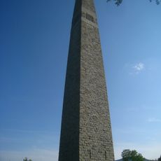
Bennington County, Administrative county in southwestern Vermont, United States.

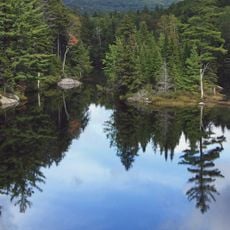
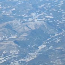
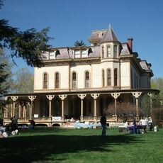
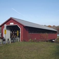
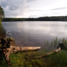
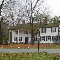
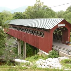
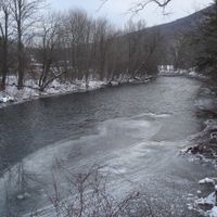
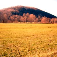
Bennington County is an administrative county in southwestern Vermont covering approximately 1,755 square kilometers. The region includes both the urban center of Bennington and smaller mountain towns, with the Green Mountain National Forest occupying much of its landscape.

The county was established in 1778 by Vermont's first General Assembly, making it the earliest organized administrative division in the state. This founding reflected Vermont's early efforts to create structured local governance following independence.

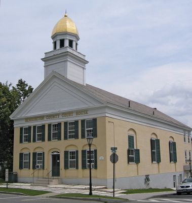
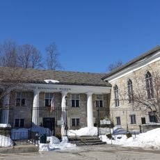
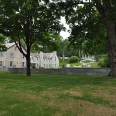
The county maintains two administrative centers, with the southern courthouse in Bennington and the northern courthouse operating from Manchester to serve local communities.

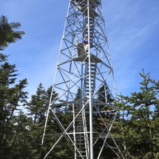
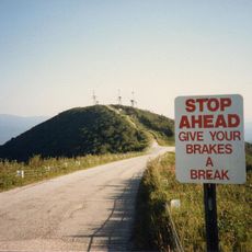
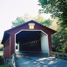
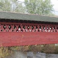
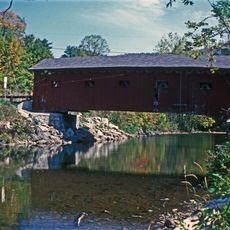
The county is easily navigable by car, with US Route 7 providing a main thoroughfare through the region. Visitors should prepare for varying elevations, as the terrain ranges from valley floors to mountain areas above 2,000 feet (610 meters).

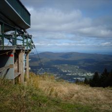
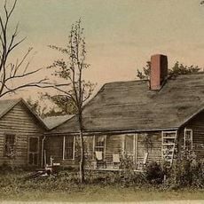
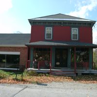
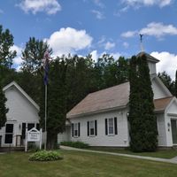
The county contains Woodford, a mountain community situated at approximately 2,215 feet (675 meters), among the highest settlements in Vermont. This isolated village maintains a quiet, historic quality quite removed from contemporary development.

Location: Vermont

Inception: 1777

Capital city: Bennington

Shares border with: Rutland County, Windsor County, Franklin County, Berkshire County, Rensselaer County, Washington County, Windham County

Website: http://rpc.bennington.vt.us

GPS coordinates: 43.02942,-73.10796

Latest update: December 15, 2025 13:22

Photos
Around this place
Mount Snow
United States of America

Mount Snow

16.9 km
Hildene
United States of America

Hildene

12.6 km
Green Mountain National Forest
United States of America

Green Mountain National Forest

102.5 km
Bennington Battle Monument
United States of America

Bennington Battle Monument

17.9 km
Stratton Mountain
United States of America

Stratton Mountain

16.2 km
Equinox Mountain
United States of America

Equinox Mountain

15.2 km
Northern boundary of Massachusetts
United States of America

Northern boundary of Massachusetts

34.1 km
Bill Wilson House
United States of America

Bill Wilson House

24.7 km
United States of America

Haystack Mountain

20 km
United States of America

Mount Aeolus

24.2 km
The American Museum of Fly Fishing
United States of America

The American Museum of Fly Fishing

15.8 km
Catamount Tavern
United States of America

Catamount Tavern

18.2 km
Dorset Mountain
United States of America

Dorset Mountain

31.8 km
Bennington Historical Museum
United States of America

Bennington Historical Museum

18.3 km
Park-McCullough Historic House
United States of America

Park-McCullough Historic House

16 km
Silk Covered Bridge
United States of America

Silk Covered Bridge

16.4 km
Burt Henry Covered Bridge
United States of America

Burt Henry Covered Bridge

17.7 km
Arlington Green Covered Bridge
United States of America

Arlington Green Covered Bridge

12.4 km
Mooar-Wright House
United States of America

Mooar-Wright House

31.2 km
Paper Mill Village Bridge
United States of America

Paper Mill Village Bridge

16.5 km
United States of America

Prospect Mountain

17.6 km
Woodford State Park
United States of America

Woodford State Park

16.5 km
Manley-Lefevre House
United States of America

Manley-Lefevre House

22.4 km
Henry House
United States of America

Henry House

18.1 km
David Mathews House
United States of America

David Mathews House

16.8 km
Equinox House Historic District
United States of America

Equinox House Historic District

15 km
Downtown Bennington Historic District
United States of America

Downtown Bennington Historic District

18.3 km
Chiselville Covered Bridge
United States of America

Chiselville Covered Bridge

5.2 km
Show the full map
Reviews

Visited this place? Tap the stars to rate it and share your experience / photos with the community! Try now! You can cancel it anytime.

« Bennington County - Administrative county in southwestern Vermont, United States » is provided by Around Us (aroundus.com). Images and texts are derived from Wikimedia project under a Creative Commons license. You are allowed to copy, distribute, and modify copies of this page, under the conditions set by the license, as long as this note is clearly visible.

Discover hidden gems everywhere you go!

From secret cafés to breathtaking viewpoints, skip the crowded tourist spots and find places that match your style. Our app makes it easy with voice search, smart filtering, route optimization, and insider tips from travelers worldwide. Download now for the complete mobile experience.

Around Us App Screenshot

A unique approach to discovering new places

Le Figaro

All the places worth exploring

France Info

A tailor-made excursion in just a few clicks

20 Minutes