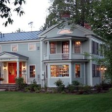
Equinox Mountain, Mountain summit in Bennington County, Vermont, United States
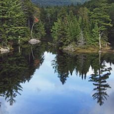
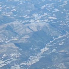
Equinox Mountain is the highest peak in the Taconic Range, located in Bennington County in southern Vermont. A paved toll road connects the valley floor to the summit, where a viewing center sits at the top.
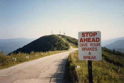
A toll road was built in the 1940s to give visitors direct access to the summit, turning the mountain into a tourist destination. That road is considered one of the oldest privately operated toll roads still in use in the country.
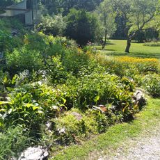
At the top there is a viewing center where visitors look out over nearby valleys and neighboring states. Hikers and motorcyclists are both regulars here, drawn by the winding road and the open views it leads to.
The toll road is generally open from May through October, with parking at both the base and the summit. Allow enough time for the drive up and plan to stay a while at the top, as the views benefit from a slower visit.
Since 1950 an annual hillclimb race has been held here, where drivers go up the winding road one at a time against the clock. The event draws racing fans from across the region and briefly turns the mountain into a gathering point for speed enthusiasts.
The community of curious travelers
AroundUs brings together thousands of curated places, local tips, and hidden gems, enriched daily by 60,000 contributors worldwide.