Manchester

Log in to your account

AroundUs is a community-driven map of interesting places, built by curious explorers like you. It grows with every review, story, and photo you share.
Connect to save your favorite spots, contribute locations, and create personalized routes.
By continuing, you accept our Terms and Conditions and our Privacy Policy
Add to collection
Map
Suggest a change
Share

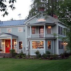
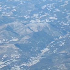
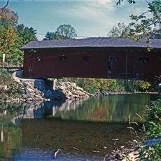
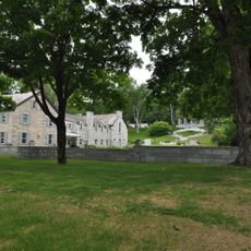
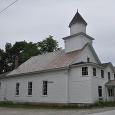
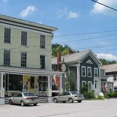
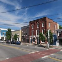
Manchester, Mountain resort town in Bennington County, United States.
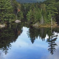
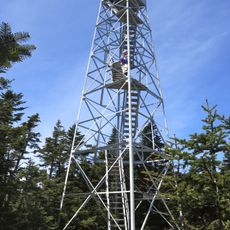
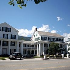
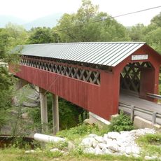
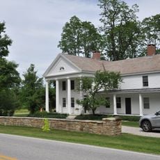
Manchester sits at 281 meters elevation in Vermont's Green Mountains, featuring numerous hiking trails and outdoor recreational areas throughout its 42 square miles.

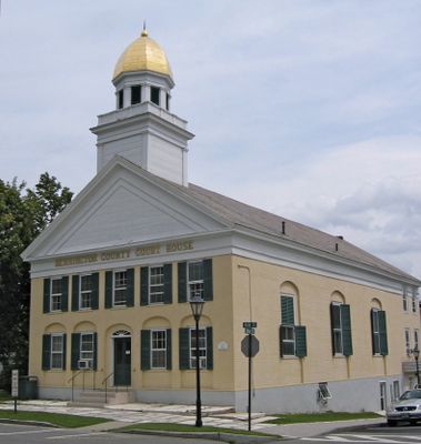
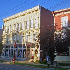
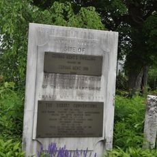
The town received its charter in 1761 from New Hampshire Governor Benning Wentworth, who named it after Robert Montagu, the third Duke of Manchester.
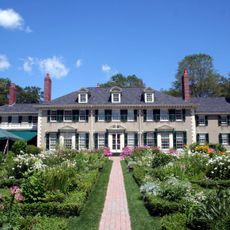
The Southern Vermont Arts Center maintains rotating art exhibitions, educational initiatives, and year-round programming that draws visitors from across New England.

The town connects to major northeastern cities through four highways, including US Route 7 and Vermont Routes 7A, 30, and 11.

Jake Burton Carpenter developed modern snowboard designs in his Manchester garage, leading to early snowboarding acceptance at nearby Stratton Mountain resort.

Location: Bennington County

Inception: August 11, 1761

Elevation above the sea: 281 m

Shares border with: Dorset, Winhall, Sunderland, Arlington, Sandgate, Rupert

GPS coordinates: 43.16537,-73.06766

Latest update: May 27, 2025 09:54

Around this place
Show the full map
Hildene
United States of America

Hildene

2.9 km
Green Mountain National Forest
United States of America

Green Mountain National Forest

87.3 km
Stratton Mountain
United States of America

Stratton Mountain

14.6 km
Equinox Mountain
United States of America

Equinox Mountain

4.1 km
Bill Wilson House
United States of America

Bill Wilson House

9.5 km
Eagleville Bridge
United States of America

Eagleville Bridge

22 km
Rexleigh Bridge
United States of America

Rexleigh Bridge

23.6 km
Mount Aeolus
United States of America

Mount Aeolus

8.7 km
The American Museum of Fly Fishing
United States of America

The American Museum of Fly Fishing

296 m
Dorset Mountain
United States of America

Dorset Mountain

16.3 km
Arlington Green Covered Bridge
United States of America

Arlington Green Covered Bridge

14.2 km
Manley-Lefevre House
United States of America

Manley-Lefevre House

7.4 km
Salem Historic District
United States of America

Salem Historic District

21.1 km
Equinox House Historic District
United States of America

Equinox House Historic District

615 m
Chiselville Covered Bridge
United States of America

Chiselville Covered Bridge

11.7 km
East Arlington Village Historic District
United States of America

East Arlington Village Historic District

13.1 km
Gov. Jonas Galusha Homestead
United States of America

Gov. Jonas Galusha Homestead

22.7 km
Dorset Village Historic District
United States of America

Dorset Village Historic District

10.3 km
South Londonderry Village Historic District
United States of America

South Londonderry Village Historic District

20.9 km
Pawlet Town Hall
United States of America

Pawlet Town Hall

22 km
Londonderry Town House
United States of America

Londonderry Town House

20.8 km
Danby Village Historic District
United States of America

Danby Village Historic District

21.1 km
Nathan Allen House
United States of America

Nathan Allen House

23.9 km
Amos Lawrence House
United States of America

Amos Lawrence House

1.2 km
Kent Neighborhood Historic District
United States of America

Kent Neighborhood Historic District

8.6 km
Hard Farm Homestead
United States of America

Hard Farm Homestead

4.1 km
Rupert Village Historic District
United States of America

Rupert Village Historic District

16.4 km
Stratton Mountain Lookout Tower
United States of America

Stratton Mountain Lookout Tower

14.6 km
Show the full map

Reviews

Visited this place? Tap the stars to rate it and share your experience / photos with the community! Try now! You can cancel it anytime.

Administrative divisions
« Manchester - Mountain resort town in Bennington County, United States » is provided by Around Us (aroundus.com). Images and texts are derived from Wikimedia project under a Creative Commons license. You are allowed to copy, distribute, and modify copies of this page, under the conditions set by the license, as long as this note is clearly visible.

Discover hidden gems everywhere you go!

From secret cafés to breathtaking viewpoints, skip the crowded tourist spots and find places that match your style. Our app makes it easy with voice search, smart filtering, route optimization, and insider tips from travelers worldwide. Download now for the complete mobile experience.

Around Us App Screenshot

A unique approach to discovering new places

Le Figaro

All the places worth exploring

France Info

A tailor-made excursion in just a few clicks

20 Minutes