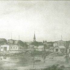
Boston Neck, Narrow landform in Boston, United States.
Boston Neck is a natural strip of land connecting the Boston peninsula to the mainland, with its narrowest point measuring roughly 120 feet (37 meters) wide. This landform served as the sole natural gateway for access to the early settlement.
Native peoples used this land corridor long before European settlement, and it remained a key passage through the region. Colonial authorities fortified the neck during the 1700s, transforming it into a controlled military checkpoint.
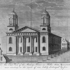
This narrow passage was where daily travelers crossed between the town and surrounding areas, making it a vital social and commercial junction. The gate that once stood here symbolized the boundary between Boston's enclosed island community and the outside world.
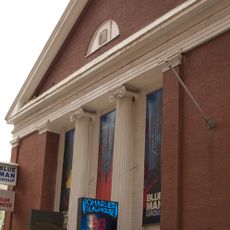
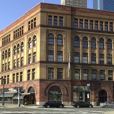
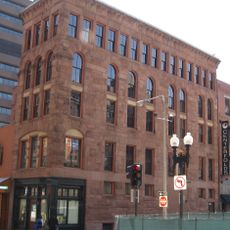
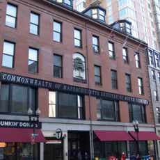
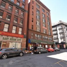
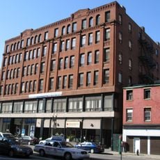
The neck lies at the intersection of East Berkeley and Washington Streets, where traces of the old fortifications can still be observed today. The area is easily accessible and located near downtown Boston.
A horseman named William Dawes rode through this neck in 1775 to warn colonists about approaching British troops. His passage through the guarded gates represented an act of defiance against the military occupation.
The community of curious travelers
AroundUs brings together thousands of curated places, local tips, and hidden gems, enriched daily by 60,000 contributors worldwide.