
Taum Sauk Mountain, Mountain summit in Iron County, Missouri.
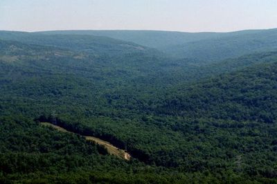
Taum Sauk Mountain rises 540 meters above sea level, featuring an elongated ridge formation with dense forest cover and exposed rock formations.
The mountain's name originates from Chief Sauk-Ton-Qua of the Piankeshaw tribe, who inhabited the region before European settlement.
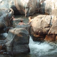
The mountain connects to Native American folklore through the story of Mina Sauk, with tales of supernatural occurrences and natural phenomena.
Visitors access the summit via a paved road to the parking area, followed by a short walk to the highest point marker.
The mountain remained above water during ancient times when surrounding areas were submerged, creating an isolated geological formation in the region.
Location: Missouri
Elevation above the sea: 540 m
GPS coordinates: 37.57033,-90.72790
Latest update: May 27, 2025 06:55
Johnson's Shut-Ins State Park
10.5 km
Elephant Rocks State Park
10 km
Sam A. Baker State Park
39.7 km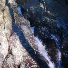
Taum Sauk Mountain State Park
9 m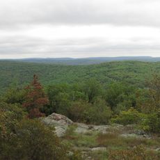
Bell Mountain Wilderness
14.8 km
St. Joe State Park
32.6 km
Missouri Mines State Historic Site
35.5 km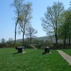
Fort Davidson
10.1 km
Arcadia College
8.8 km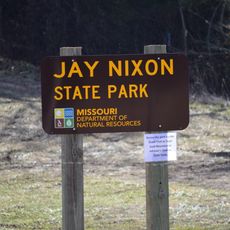
Jay Nixon State Park
5 km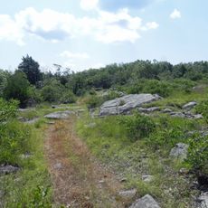
Buford Mountain Conservation Area
16.2 km
Presbyterian Orphanage of Missouri
35.5 km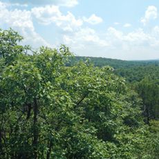
Bootleg Access
27.6 km
Bonne Terre Depot
41.9 km
Immanuel Evangelical Lutheran Church
9.8 km
St. Paul's Episcopal Church
9.5 km
Fredericktown Courthouse Square Historic District
38.5 km
Madison County Courthouse
38.3 km
Washington County Courthouse
41.1 km
Iron County Courthouse
9.3 km
St. Francois County Jail and Sheriff's Residence
35.7 km
Courthouse Square Historic District
35.8 km
East Columbia Historic District
35.8 km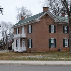
James Robinson McCormick House
35.4 km
Caledonia Historic District
21.8 km
Harrison Queen House
24.2 km
United States Post Office
38.3 km
Ironton Lodge Hall
9.2 kmReviews
Visited this place? Tap the stars to rate it and share your experience / photos with the community! Try now! You can cancel it anytime.
Discover hidden gems everywhere you go!
From secret cafés to breathtaking viewpoints, skip the crowded tourist spots and find places that match your style. Our app makes it easy with voice search, smart filtering, route optimization, and insider tips from travelers worldwide. Download now for the complete mobile experience.

A unique approach to discovering new places❞
— Le Figaro
All the places worth exploring❞
— France Info
A tailor-made excursion in just a few clicks❞
— 20 Minutes