Taum Sauk Mountain State Park, State park in Iron County, Missouri
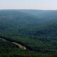
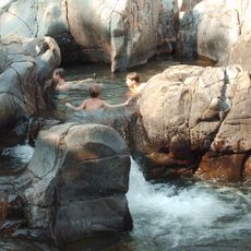
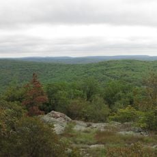
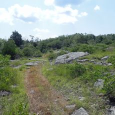
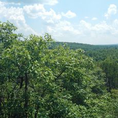
Taum Sauk Mountain State Park covers about 7,500 acres within the St. Francois Mountains, featuring dense forests, rocky ridges, and several waterfalls. The terrain includes an extensive network of trails that connect to viewpoints and natural water features throughout the protected area.
The park was established in 1991 as part of Missouri's conservation strategy to protect Ozark mountain landscapes. This designation recognized the geological and ecological importance of the St. Francois Mountains region.
The park maintains the Ozark Trail system, connecting multiple wilderness areas and offering hikers extensive routes through Missouri's mountain landscapes.
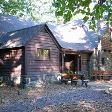
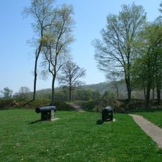
The park provides twelve basic campsites, group camping areas, picnic facilities, and a network of trails for different ability levels. Spring and fall are ideal visiting times when weather is mild and trails are easy to walk.
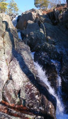
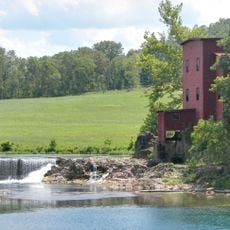
Mina Sauk Falls, Missouri's highest waterfall, flows most powerfully after rainy or snowmelt periods when water levels are high. Many visitors consider this waterfall the highlight of their visit, since it rarely reaches its full dramatic effect.
The community of curious travelers
AroundUs brings together thousands of curated places, local tips, and hidden gems, enriched daily by 60,000 contributors worldwide.