
Dorchester, town in New Hampshire
Location: Grafton County
Inception: 1772
Elevation above the sea: 424 m
Website: http://townofdorchester.net
GPS coordinates: 43.75667,-71.94861
Latest update: March 3, 2025 02:18
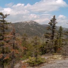
Mount Cardigan
12.2 km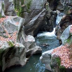
Sculptured Rocks Natural Area
9.4 km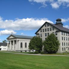
Enfield Shaker Museum
22 km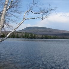
Smarts Mountain
10.2 km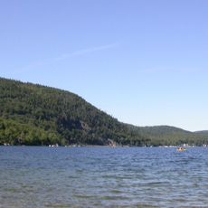
Wellington State Park
12.6 km
Ompompanoosuc River
22.6 km
Camp Walt Whitman
21.6 km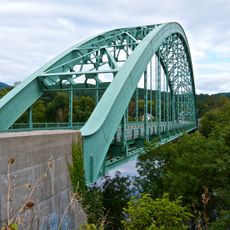
Morey Memorial Bridge
22.7 km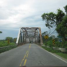
Lyme–East Thetford Bridge
19.8 km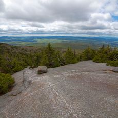
Cardigan Mountain State Park
12.6 km
Canaan Street Historic District
12.6 km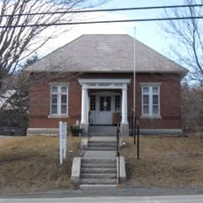
Hanover Town Library
22.8 km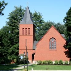
Chapel of the Holy Cross
22 km
Orford Street Historic District
22.3 km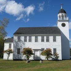
Canaan Meetinghouse
12.8 km
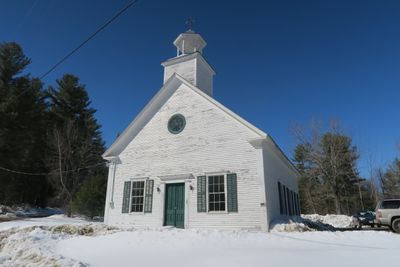
Dorchester Common Historic District
95 m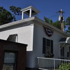
Old Grafton County Courthouse
20.9 km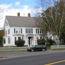
Hewitt House
20.6 km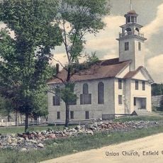
Centre Village Meeting House
22.7 km
Plymouth Historic District
20.9 km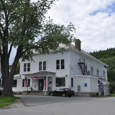
Fairlee Town Hall
23 km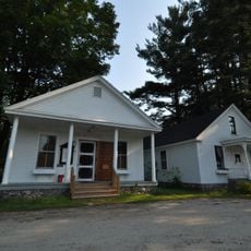
Hebron Village Historic District
13.4 km
Owls Head
15.5 km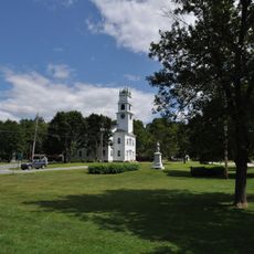
Lyme Common Historic District
17.7 km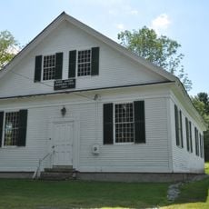
Enfield Center Town House
22.6 km
Moses Kent House
21.3 km
Orford-Fairlee Covered Bridge
22.7 km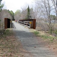
BM Mascoma River Bridge 130.12
18.3 kmVisited this place? Tap the stars to rate it and share your experience / photos with the community! Try now! You can cancel it anytime.
Discover hidden gems everywhere you go!
From secret cafés to breathtaking viewpoints, skip the crowded tourist spots and find places that match your style. Our app makes it easy with voice search, smart filtering, route optimization, and insider tips from travelers worldwide. Download now for the complete mobile experience.

A unique approach to discovering new places❞
— Le Figaro
All the places worth exploring❞
— France Info
A tailor-made excursion in just a few clicks❞
— 20 Minutes