Chest opened
+${chestReward.xp} XP
Explorer
NOUVEAU ×${chestReward.collectible.quantity}
tapez pour fermer
Chest locked

Open chests in the app

Around Us is built for your phone — chests unlock when you walk, explore and capture nearby places.

Enable Location

We need your location to show you interesting places around you

Discover nearby places

Find interesting locations and hidden gems around you

Precise directions

Get accurate directions and distances to places

Your location is never shared with other users. It's only used when you tap the location button.

Broomall

Log in to your account

Start exploring — it's free

Trusted by 72,878 travelers worldwide

Continue with Google
Continue with Apple
or

We will send you a code to connect

By continuing, you accept our Terms and Conditions and our Privacy Policy

Check your inbox

We've sent a pincode in your inbox. Please enter the code below.

Discussion Reviews 1 Photos
18.3k Popularity

Broomall, Census-designated place in Delaware County, Pennsylvania, United States.

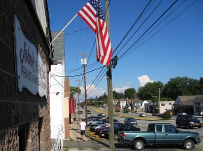
Broomall is a census-designated place in Marple Township that combines residential neighborhoods with commercial areas and green spaces for recreation. The community sits in a location that connects easily to Philadelphia and the surrounding suburbs through established road networks.

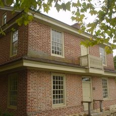
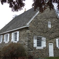
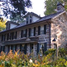
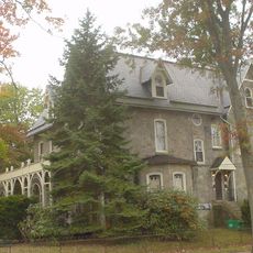
This area grew from farming land into a suburban settlement outside Philadelphia during the late 1800s as the city expanded outward. The transformation reflected broader patterns of urban growth and residential development that shaped the entire region during that era.

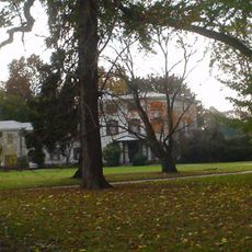
Local parks serve as gathering places where families spend time playing sports, walking, and enjoying outdoor activities together throughout the seasons.

The area connects to Philadelphia and surrounding regions through multiple main roads that make travel straightforward and convenient. Everyday amenities and services are spread throughout the community, so visitors can find what they need nearby.

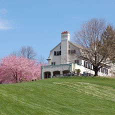
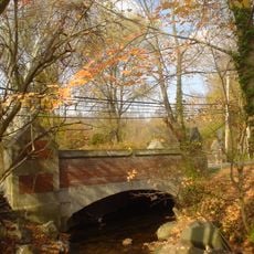
The community sits on higher ground with no bodies of water, which gives it clear views across the surrounding landscape. This completely dry geography sets it apart from many other suburban areas in the region that have lakes or streams.

The community of curious travelers

AroundUs brings together thousands of curated places, local tips, and hidden gems, enriched daily by 60,000 contributors worldwide.

Start exploring
Location
Shares border with
Upper Darby Township
GPS coordinates
39.97167,-75.35472
Latest update
December 7, 2025 19:22
Around this place
Merion Golf Club
United States of America

Merion Golf Club

4.9 km
Chanticleer Garden
United States of America

Chanticleer Garden

7.1 km
Church of the Good Shepherd
United States of America

Church of the Good Shepherd

6.4 km
United States of America

Villanova Stadium

7 km
Suntop Homes
United States of America

Suntop Homes

6.2 km
Baldwin School
United States of America

Baldwin School

6.7 km
Darby Creek
United States of America

Darby Creek

3.4 km
Bryn Mawr College Deanery
United States of America

Bryn Mawr College Deanery

7.1 km
Allgates
United States of America

Allgates

3.8 km
Old Library
United States of America

Old Library

7.1 km
Whitehall Apartments
United States of America

Whitehall Apartments

6.4 km
Delaware County Institute of Science
United States of America

Delaware County Institute of Science

6.7 km
Pont Reading
United States of America

Pont Reading

5.2 km
Collen Brook Farm
United States of America

Collen Brook Farm

3.7 km
Square Tavern
United States of America

Square Tavern

5.3 km
Glenays
United States of America

Glenays

4.9 km
Camp-Woods
United States of America

Camp-Woods

5.5 km
Nitre Hall
United States of America

Nitre Hall

6 km
Radnor Friends Meetinghouse
United States of America

Radnor Friends Meetinghouse

6.5 km
Hood Octagonal School
United States of America

Hood Octagonal School

3.4 km
United States of America

Newtown Square Friends Meeting House

4.8 km
Bridge in Radnor Township No. 1
United States of America

Bridge in Radnor Township No. 1

3.8 km
Ogden House
United States of America

Ogden House

6.7 km
Bridge in Radnor Township No. 2
United States of America

Bridge in Radnor Township No. 2

4.5 km
Seville Theatre
United States of America

Seville Theatre

6.5 km
Armenian Martyrs' Congregational Church
United States of America

Armenian Martyrs' Congregational Church

3.8 km
Dr. Samuel D. Risley House
United States of America

Dr. Samuel D. Risley House

6.2 km
Crosley–Garrett Mill Workers' Housing, Store, and Mill Site
United States of America

Crosley–Garrett Mill Workers' Housing, Store, and Mill Site

6.8 km
Show the full map
Reviews
Share your experience

No review yet

Discussions
Start a discussion...

No discussion yet

« Broomall - Census-designated place in Delaware County, Pennsylvania, United States » is provided by Around Us (aroundus.com). Images and texts are derived from Wikimedia project under a Creative Commons license. You are allowed to copy, distribute, and modify copies of this page, under the conditions set by the license, as long as this note is clearly visible.

Discover hidden gems everywhere you go!

From secret cafés to breathtaking viewpoints, skip the crowded tourist spots and find places that match your style. Our app makes it easy with voice search, smart filtering, route optimization, and insider tips from travelers worldwide. Download now for the complete mobile experience.

Around Us App Screenshot

A unique approach to discovering new places

Le Figaro

All the places worth exploring

France Info

A tailor-made excursion in just a few clicks

20 Minutes

Around Us
Travel Guide & Maps
Download

Send to your phone

QR Code
1

Open the camera app on your mobile.

2

Point at the QR code with your camera. A notification will appear.

3

Tap the notification to open the link.