Enable Location

We need your location to show you interesting places around you

Discover nearby places

Find interesting locations and hidden gems around you

Precise directions

Get accurate directions and distances to places

Your location is never shared with other users. It's only used when you tap the location button.

Fort Dodge

Log in to your account

Start exploring — it's free

Trusted by travelers worldwide

Continue with Google
Continue with Apple
or

We will send you a code to connect

By continuing, you accept our Terms and Conditions and our Privacy Policy

Check your inbox

We've sent a pincode in your inbox. Please enter the code below.

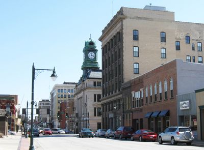
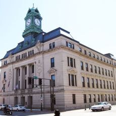
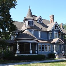
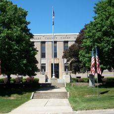
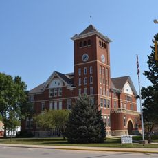
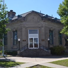
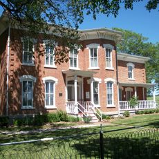
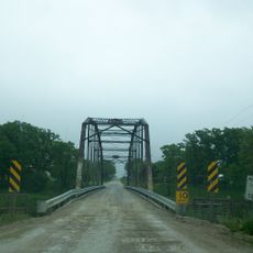
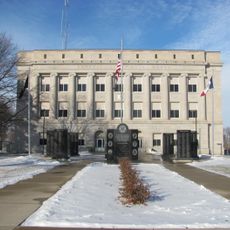
Fort Dodge, County seat in Webster County, Iowa, United States.

Description

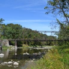
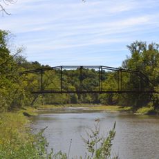
Fort Dodge is a city in Webster County, Iowa, stretching along the Des Moines River and characterized by gypsum deposits. These mineral layers have shaped the local economy and landscape for generations.

History

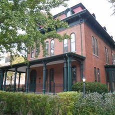
The settlement began in 1850 as a military post founded by Captain Samuel Woods and the E Company of the 6th Infantry. This military foundation shaped its early growth into a town.

Culture

The city is home to several performance venues where visitors can experience concerts and music festivals throughout the year. These events bring people together and shape the community's social life.

Practical

A local airport handles general aviation and a public transit system connects different parts of the city. Visitors can easily explore by car or using public transportation.

Did you know?

Large gypsum mining companies extract minerals here, a practice dating back to 1872. This long-standing industry has shaped the city's character and development for over a century.

Location
Inception
1869
Elevation above the sea
352 m
GPS coordinates
42.50667,-94.18028
Latest update
December 14, 2025 18:17

AroundUs brings together thousands of curated places, local tips, and hidden gems, enriched daily by 60,000 contributors worldwide. Discover all places nearby (Webster County).

Around this place
Dolliver Memorial State Park
United States of America

Dolliver Memorial State Park

15.5 km
Pilot Mound State Forest
United States of America

Pilot Mound State Forest

41.8 km
Webster County Courthouse
United States of America

Webster County Courthouse

674 m
Oleson Park Music Pavilion
United States of America

Oleson Park Music Pavilion

2.1 km
William J. and Hattie J. Zitterell House
United States of America

William J. and Hattie J. Zitterell House

29.5 km
Humboldt County Courthouse
United States of America

Humboldt County Courthouse

24.2 km
Kendall Young Public Library
United States of America

Kendall Young Public Library

30 km
Wright County Courthouse
United States of America

Wright County Courthouse

44.5 km
Calhoun County Courthouse
United States of America

Calhoun County Courthouse

39.4 km
Boone River Bridge
United States of America

Boone River Bridge

43.5 km
William Oakland Round Barn
United States of America

William Oakland Round Barn

44.9 km
Webster City Post Office
United States of America

Webster City Post Office

29.9 km
Humboldt Public Library
United States of America

Humboldt Public Library

24.1 km
Corydon Brown House
United States of America

Corydon Brown House

24.3 km
Berkhimer Bridge
United States of America

Berkhimer Bridge

26.6 km
Pocahontas County Courthouse
United States of America

Pocahontas County Courthouse

47.5 km
First National Bank Building
United States of America

First National Bank Building

717 m
Hamilton County Courthouse
United States of America

Hamilton County Courthouse

30.6 km
Renwick Generating Plant
United States of America

Renwick Generating Plant

39.5 km
Albright Bridge
United States of America

Albright Bridge

32.4 km
Eagle Grove Public Library
United States of America

Eagle Grove Public Library

28.5 km
Tremaine Bridge
United States of America

Tremaine Bridge

33.3 km
Vincent House
United States of America

Vincent House

642 m
Stephen Harris Taft House
United States of America

Stephen Harris Taft House

24.2 km
Oak Hill Historic District
United States of America

Oak Hill Historic District

566 m
Goldfield Bridge
United States of America

Goldfield Bridge

33.1 km
Lorenzo S. Coffin Burial Plot
United States of America

Lorenzo S. Coffin Burial Plot

5.5 km
Perry C. and Mattie Forrest Holdoegel House
United States of America

Perry C. and Mattie Forrest Holdoegel House

39.8 km
Show the full map
« Fort Dodge - County seat in Webster County, Iowa, United States » is provided by Around Us (aroundus.com). Images and texts are derived from Wikimedia project under a Creative Commons license. You are allowed to copy, distribute, and modify copies of this page, under the conditions set by the license, as long as this note is clearly visible.

Discover hidden gems everywhere you go!

From secret cafés to breathtaking viewpoints, skip the crowded tourist spots and find places that match your style. Our app makes it easy with voice search, smart filtering, route optimization, and insider tips from travelers worldwide. Download now for the complete mobile experience.

Around Us App Screenshot

A unique approach to discovering new places

Le Figaro

All the places worth exploring

France Info

A tailor-made excursion in just a few clicks

20 Minutes

Around Us
Travel Guide & Maps
Download

Send to your phone

QR Code
1

Open the camera app on your mobile.

2

Point at the QR code with your camera. A notification will appear.

3

Tap the notification to open the link.