Webster County

Log in to your account

AroundUs is a community-driven map of interesting places, built by curious explorers like you. It grows with every review, story, and photo you share.
Connect to save your favorite spots, contribute locations, and create personalized routes.
By continuing, you accept our Terms and Conditions and our Privacy Policy
Add to collection
Map
Suggest a change
Share

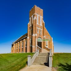
Webster County, Administrative county in central Iowa, US

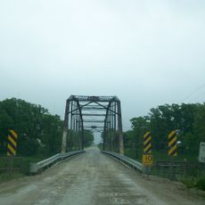
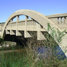
Webster County is located in central Iowa and covers a flat landscape with Fort Dodge serving as its administrative center. The region is dominated by farmland and crossed by several highways that connect it to other parts of the state.

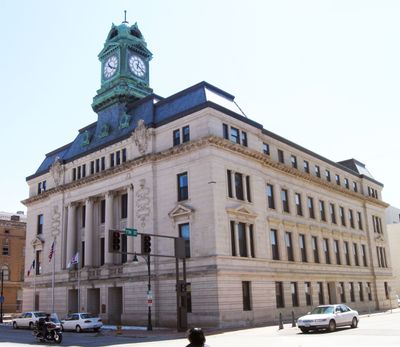
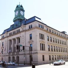
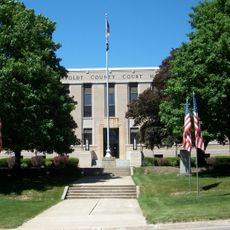
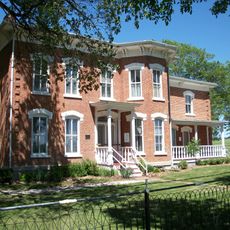
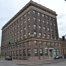
The county was established in 1851 by the Iowa State Legislature with Fort Dodge designated as the county seat. This decision shaped the area's development into a regional center for commerce and governance.

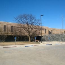
The county maintains agricultural traditions through seasonal farming events, county fairs, and educational programs at local institutions.

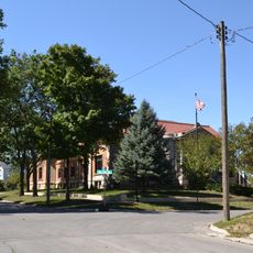
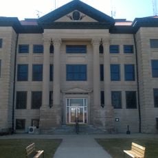
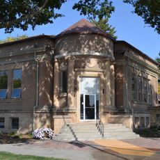
Visitors find government services at the Webster County Courthouse in Fort Dodge, where permits and licenses are handled. The courthouse is easily accessible and the town offers basic amenities for tourists.

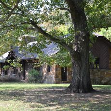
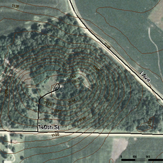
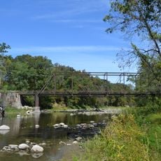
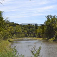
The county contains several conservation areas that protect native prairie landscapes and provide habitat for local wildlife. These protected spaces allow visitors to explore the natural diversity of the region.

Location: Iowa

Inception: 1851

Capital city: Fort Dodge

Shares border with: Humboldt County, Greene County, Pocahontas County, Wright County, Calhoun County, Hamilton County, Boone County

Website: http://webstercountyia.org

GPS coordinates: 42.42611,-94.18861

Latest update: December 7, 2025 20:49

Photos
Around this place
Dolliver Memorial State Park
United States of America

Dolliver Memorial State Park

9.7 km
George H. Gallup House
United States of America

George H. Gallup House

39.7 km
Pilot Mound State Forest
United States of America

Pilot Mound State Forest

33.8 km
St. Patrick's Catholic Church, Cedar
United States of America

St. Patrick's Catholic Church, Cedar

42.1 km
Webster County Courthouse
United States of America

Webster County Courthouse

8.8 km
Oleson Park Music Pavilion
United States of America

Oleson Park Music Pavilion

7.1 km
William J. and Hattie J. Zitterell House
United States of America

William J. and Hattie J. Zitterell House

30.2 km
Humboldt County Courthouse
United States of America

Humboldt County Courthouse

33.1 km
Kendall Young Public Library
United States of America

Kendall Young Public Library

30.6 km
Calhoun County Courthouse
United States of America

Calhoun County Courthouse

36.9 km
Webster City Post Office
United States of America

Webster City Post Office

30.7 km
Humboldt Public Library
United States of America

Humboldt Public Library

32.9 km
Corydon Brown House
United States of America

Corydon Brown House

33.2 km
Berkhimer Bridge
United States of America

Berkhimer Bridge

35.2 km
Beaver Creek Bridge
United States of America

Beaver Creek Bridge

42.1 km
Hamilton County Courthouse
United States of America

Hamilton County Courthouse

30.9 km
First National Bank Building
United States of America

First National Bank Building

8.8 km
Albright Bridge
United States of America

Albright Bridge

31.2 km
Tremaine Bridge
United States of America

Tremaine Bridge

31.5 km
Eagle Grove Public Library
United States of America

Eagle Grove Public Library

35.2 km
Vincent House
United States of America

Vincent House

8.5 km
Oak Hill Historic District
United States of America

Oak Hill Historic District

8.5 km
Stephen Harris Taft House
United States of America

Stephen Harris Taft House

33.1 km
Goldfield Bridge
United States of America

Goldfield Bridge

40.8 km
Lorenzo S. Coffin Burial Plot
United States of America

Lorenzo S. Coffin Burial Plot

12.1 km
Squaw Creek Bridge 2
United States of America

Squaw Creek Bridge 2

42.6 km
Perry C. and Mattie Forrest Holdoegel House
United States of America

Perry C. and Mattie Forrest Holdoegel House

37.3 km
B&SV Bass Point High Bridge
United States of America

B&SV Bass Point High Bridge

43 km
Show the full map
Reviews

Visited this place? Tap the stars to rate it and share your experience / photos with the community! Try now! You can cancel it anytime.

Administrative divisions
« Webster County - Administrative county in central Iowa, US » is provided by Around Us (aroundus.com). Images and texts are derived from Wikimedia project under a Creative Commons license. You are allowed to copy, distribute, and modify copies of this page, under the conditions set by the license, as long as this note is clearly visible.

Discover hidden gems everywhere you go!

From secret cafés to breathtaking viewpoints, skip the crowded tourist spots and find places that match your style. Our app makes it easy with voice search, smart filtering, route optimization, and insider tips from travelers worldwide. Download now for the complete mobile experience.

Around Us App Screenshot

A unique approach to discovering new places

Le Figaro

All the places worth exploring

France Info

A tailor-made excursion in just a few clicks

20 Minutes