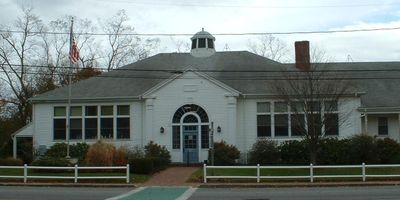
Orleans, town of Barnstable County, Massachusetts, United States
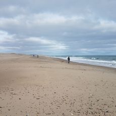
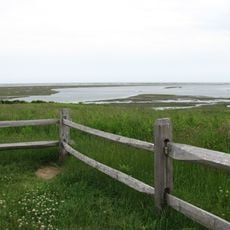
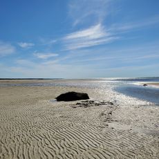
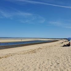
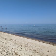
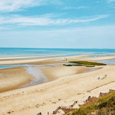
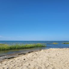
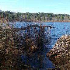
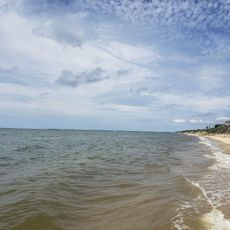
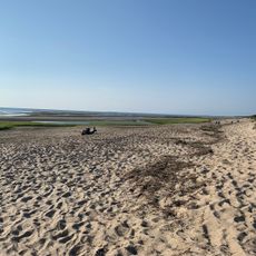
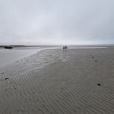
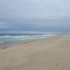
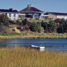
Orleans is a town in Barnstable County on the eastern side of Cape Cod and is defined by Rock Harbor, a natural harbor with salt marshes, small islands, and shallow waters. The town spreads across an area with residential neighborhoods, beaches, and coastal woodlands typical of the mid-Cape Cod region.
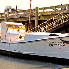
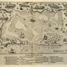
The area was originally home to the Nauset people until European settlers arrived in the 17th century and claimed the region as part of Cape Cod's settlement. Orleans grew into a significant harbor and fishing center during the 18th and 19th centuries, relying on maritime trade and ocean resources.
Visitors should be aware of tides since Rock Harbor and the shallow waters are heavily influenced by tidal movements, which affect boating and beach activities. The best time to explore is from May through October when weather is milder and most facilities are open.
Rock Harbor was the site of an attack by British frigates on American vessels during the War of 1812, making it a historically significant coastal location. This event is still documented in local history and serves as a reminder of Cape Cod's military past.
The community of curious travelers
AroundUs brings together thousands of curated places, local tips, and hidden gems, enriched daily by 60,000 contributors worldwide.