Brownsville

Log in to your account

AroundUs is a community-driven map of interesting places, built by curious explorers like you. It grows with every review, story, and photo you share.
Connect to save your favorite spots, contribute locations, and create personalized routes.
Continue with Google
Continue with Apple
Continue with X
Continue with Facebook
Continue with email
By continuing, you accept our Terms and Conditions and our Privacy Policy
Create an account
Add to collection
Map
Suggest a change
Share

Brownsville, Historical borough in Fayette County, Pennsylvania.

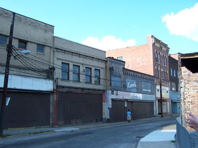
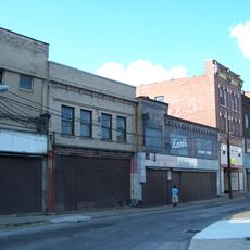
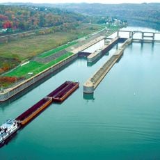
Brownsville is a borough in Fayette County, Pennsylvania, situated on the eastern bank of the Monongahela River about 40 miles south of Pittsburgh. The town shows a mix of older structures and newer development projects, with the downtown area undergoing revitalization to bring new housing and services to residents.

The town began in 1785 as a trading post following the defeat of the Iroquois and quickly became a major hub for settlers moving westward. This central role in westward expansion shaped the region's development and left lasting marks on the community.

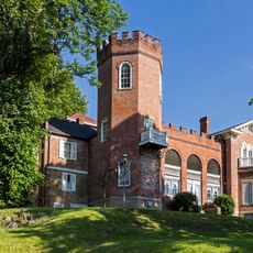
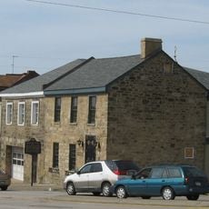
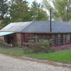
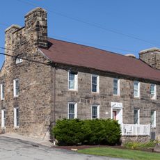
The Flatiron Building Heritage Center displays exhibits about local history in a preserved structure from the 1830s, showing visitors how early American buildings were designed and used. The space reflects how this community valued its architectural heritage over time.

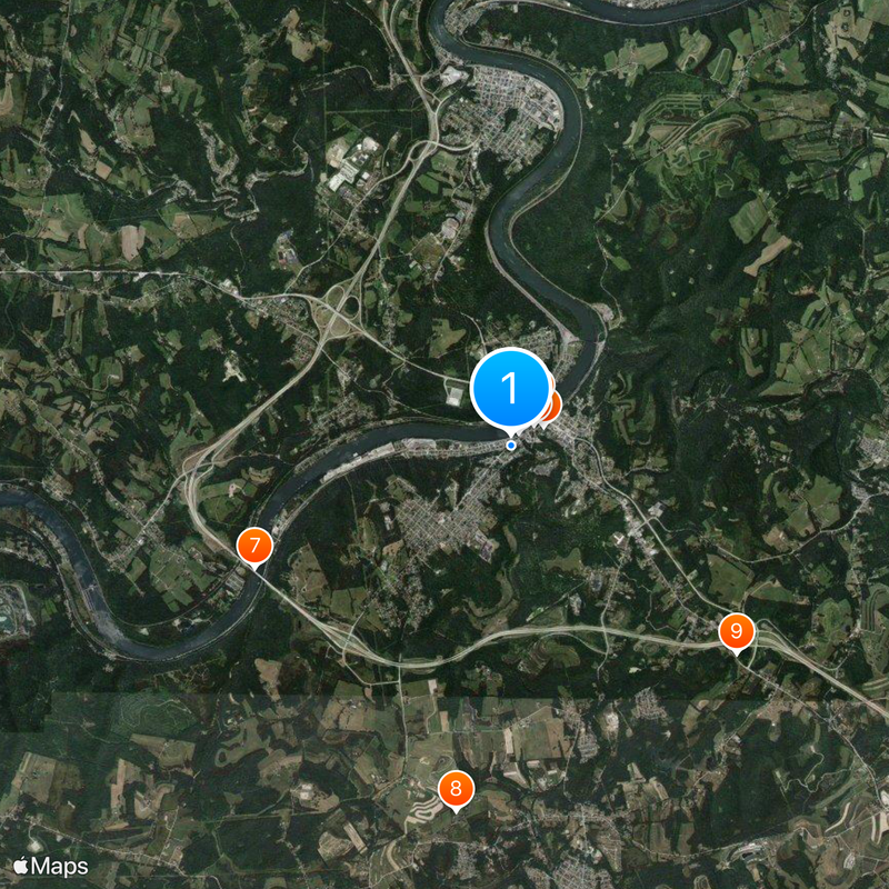
The town is easily accessible by car and offers visitors various options for exploring local history and architecture on foot. The downtown area is compact and walkable, with parking available near the main attractions for those who need it.

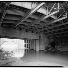
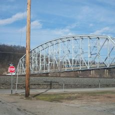
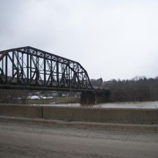
Dunlap's Creek Bridge holds the distinction of being the first cast iron bridge built in the United States and remains in use today. This 19th-century engineering achievement demonstrates how local innovation shaped American transportation infrastructure.

Location: Fayette County

Inception: 1785

Elevation above the sea: 277 m

Website: http://brownsvilleboro.com

GPS coordinates: 40.02000,-79.88940

Latest update: December 20, 2025 12:05

Photos
Around this place
Bowman's Castle
United States of America

Bowman's Castle

546 m
Dunlap's Creek Bridge
United States of America

Dunlap's Creek Bridge

218 m
Brownsville Bridge
United States of America

Brownsville Bridge

283 m
Lane Bane Bridge
United States of America

Lane Bane Bridge

666 m
United States of America

Flatiron Building

442 m
United States of America

Mon-Fayette Expressway Bridge

4.1 km
Oak Hill Estate
United States of America

Oak Hill Estate

5.3 km
Wallace-Baily Tavern
United States of America

Wallace-Baily Tavern

4.4 km
Old Main
United States of America

Old Main

5.1 km
United States of America

Elmo Natali Student Center

4.8 km
Brownsville Northside Historic District
United States of America

Brownsville Northside Historic District

763 m
Molly Fleming House
United States of America

Molly Fleming House

4.9 km
California Area Public Library
United States of America

California Area Public Library

5.4 km
Thomas H. Thompson House
United States of America

Thomas H. Thompson House

1.2 km
Jennings-Gallagher House
United States of America

Jennings-Gallagher House

4.9 km
Joseph Dorsey House
United States of America

Joseph Dorsey House

2.9 km
West Brownsville Junction Bridge
United States of America

West Brownsville Junction Bridge

1.9 km
Brownsville Commercial Historic District
United States of America

Brownsville Commercial Historic District

260 m
Harrison House
United States of America

Harrison House

5.8 km
Springer Farm
United States of America

Springer Farm

5.3 km
Hugh Laughlin House
United States of America

Hugh Laughlin House

4.8 km
Brown-Moore Blacksmith Shop
United States of America

Brown-Moore Blacksmith Shop

5.3 km
Arboreto de la universidad de California en Pensilvania
United States of America

Arboreto de la universidad de California en Pensilvania

5.2 km
National Pike Steam Gas and Horse Association
United States of America

National Pike Steam Gas and Horse Association

4.4 km
Hepner–Bailey Field at Adamson Stadium
United States of America

Hepner–Bailey Field at Adamson Stadium

3.3 km
Maxwell Lock & Dam
United States of America

Maxwell Lock & Dam

6.3 km
Malden Inn
United States of America

Malden Inn

4 km
United States of America

Statue of Dr. Robert E Eberly

5 km
Show the full map
Reviews

Visited this place? Tap the stars to rate it and share your experience / photos with the community! Try now! You can cancel it anytime.

« Brownsville - Historical borough in Fayette County, Pennsylvania » is provided by Around Us (aroundus.com). Images and texts are derived from Wikimedia project under a Creative Commons license. You are allowed to copy, distribute, and modify copies of this page, under the conditions set by the license, as long as this note is clearly visible.

Discover hidden gems everywhere you go!

From secret cafés to breathtaking viewpoints, skip the crowded tourist spots and find places that match your style. Our app makes it easy with voice search, smart filtering, route optimization, and insider tips from travelers worldwide. Download now for the complete mobile experience.

Around Us App Screenshot

A unique approach to discovering new places

Le Figaro

All the places worth exploring

France Info

A tailor-made excursion in just a few clicks

20 Minutes