Kentucky Bend, Census-designated place in Fulton County, United States.
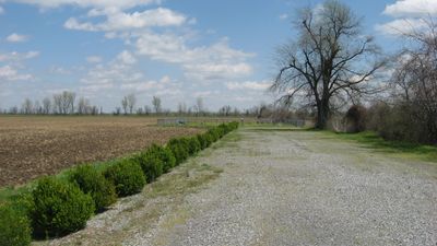
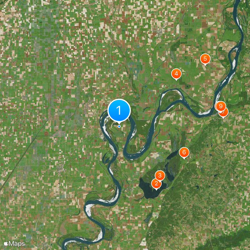
Kentucky Bend is a census-designated place in Fulton County that sits surrounded by the Mississippi River on three sides, creating a peninsula jutting into the river. The land covers roughly 17.5 square miles and touches Tennessee along its western border.
This area was created by boundary disputes and surveying mistakes when state lines were drawn in the early 1800s. The geographical accident left it separated from the rest of Fulton County and attached to the opposite shore.
The residents maintain strong connections with Tennessee communities due to their physical isolation from Kentucky, influencing local traditions and daily interactions.
To reach this place, you must travel through Tennessee territory since it sits cut off from the main part of Fulton County. Planning your route carefully helps you navigate this geographic quirk smoothly.
This land sits at Kentucky's lowest elevation point and stretches along the Mississippi River banks. Its isolation due to the water creates one of the state's most unusual geographical situations.
The community of curious travelers
AroundUs brings together thousands of curated places, local tips, and hidden gems, enriched daily by 60,000 contributors worldwide.