Chest opened
+${chestReward.xp} XP
Explorer
NOUVEAU ×${chestReward.collectible.quantity}
tapez pour fermer
Chest locked

Open chests in the app

Around Us is built for your phone — chests unlock when you walk, explore and capture nearby places.

Enable Location

We need your location to show you interesting places around you

Discover nearby places

Find interesting locations and hidden gems around you

Precise directions

Get accurate directions and distances to places

Your location is never shared with other users. It's only used when you tap the location button.

Bedford–Stuyvesant

Log in to your account

Start exploring — it's free

Trusted by 72,961 travelers worldwide

Continue with Google
Continue with Apple
or

We will send you a code to connect

By continuing, you accept our Terms and Conditions and our Privacy Policy

Check your inbox

We've sent a pincode in your inbox. Please enter the code below.

Bedford–Stuyvesant
Discussion Reviews 2 Photos
239k Popularity

Bedford–Stuyvesant, Residential neighborhood in Brooklyn, United States

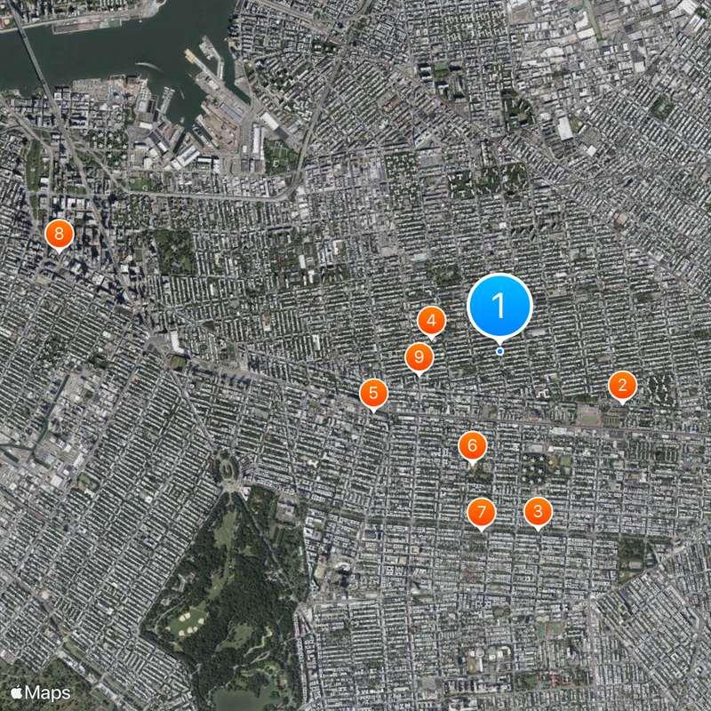
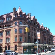
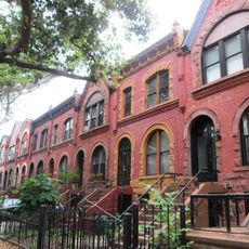
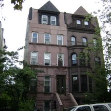
Bedford-Stuyvesant is a residential neighborhood in northern Brooklyn bounded by Flushing Avenue to the north and Atlantic Avenue to the south, stretching from Classon Avenue to Broadway. Streets form a regular grid with long blocks of multi-story homes and tree-lined sidewalks throughout the area.

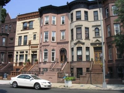
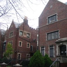
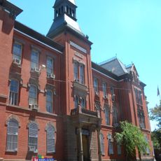
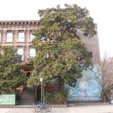
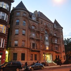
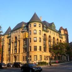
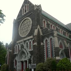
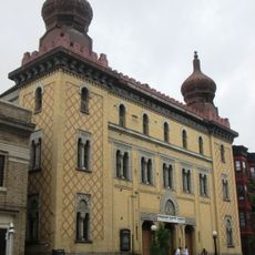
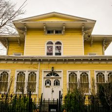
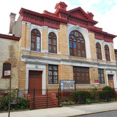
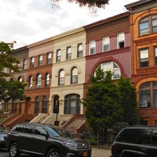
The area transformed from Dutch farmland into a middle-class residential district starting in the 1860s, when families built sandstone townhouses. From the 1930s onward, African American and Caribbean families moved in and established the community that exists today.

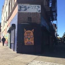
The neighborhood reflects decades of African American and Caribbean migration through its shops, restaurants, and street culture. Local artists contribute to the visual character through murals and window decorations that residents maintain throughout the year.

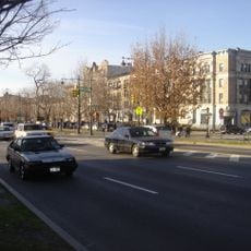
Walking is the best way to explore, and Fulton Street serves as the main orientation point to navigate the area. Most side streets are quiet and safe to walk during daytime hours.

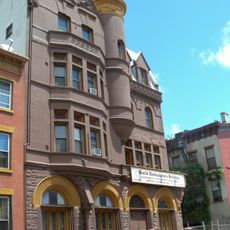
Some staircase railings still display iron decorations from the 19th century featuring grape vine and geometric patterns. The tall basement entries require climbing four to six steps above sidewalk level, offering a unique vantage point to street activity.

The community of curious travelers

AroundUs brings together thousands of curated places, local tips, and hidden gems, enriched daily by 60,000 contributors worldwide.

Start exploring
Location
Shares border with
Bushwick
GPS coordinates
40.68333,-73.94111
Latest update
March 2, 2026 21:44
Around this place
Fulton Street
United States of America

Fulton Street

1.2 km
Eastern Parkway
United States of America

Eastern Parkway

1.6 km
Boys High School
United States of America

Boys High School

622 m
23rd Regiment Armory
United States of America

23rd Regiment Armory

1.2 km
Brooklyn Children's Museum
United States of America

Brooklyn Children's Museum

1 km
Library of Agudas Chassidei Chabad
United States of America

Library of Agudas Chassidei Chabad

1.6 km
Gage and Tollner
United States of America

Gage and Tollner

4 km
Girls' High School
United States of America

Girls' High School

745 m
Herbert Von King Park
United States of America

Herbert Von King Park

852 m
Fulton Park
United States of America

Fulton Park

797 m
Jewish Children's Museum
United States of America

Jewish Children's Museum

1.6 km
Magnolia grandiflora
United States of America

Magnolia grandiflora

927 m
Renaissance Apartments
United States of America

Renaissance Apartments

784 m
Billie Holiday Theatre
United States of America

Billie Holiday Theatre

523 m
Crown Heights North Historic District
United States of America

Crown Heights North Historic District

821 m
Our Lady of Victory Church
United States of America

Our Lady of Victory Church

231 m
Lincoln Club
United States of America

Lincoln Club

1.6 km
Macon Library
United States of America

Macon Library

531 m
Alhambra Apartments
United States of America

Alhambra Apartments

781 m
Park Place Historic District
United States of America

Park Place Historic District

1.6 km
Bushwick Democratic Club House
United States of America

Bushwick Democratic Club House

1.7 km
Palisades
United States of America

Palisades

1.6 km
Shaari Zedek Synagogue
United States of America

Shaari Zedek Synagogue

929 m
Kismet Temple
United States of America

Kismet Temple

1.1 km
Clinton Hill South Historic District
United States of America

Clinton Hill South Historic District

1.5 km
James W. and Lucy S. Elwell House
United States of America

James W. and Lucy S. Elwell House

1.7 km
Immanuel Congregational Church
United States of America

Immanuel Congregational Church

1.4 km
Stuyvesant Heights Historic District
United States of America

Stuyvesant Heights Historic District

355 m
Show the full map
Reviews
Share your experience

No review yet

Discussions
Start a discussion...

No discussion yet

« Bedford–Stuyvesant - Residential neighborhood in Brooklyn, United States » is provided by Around Us (aroundus.com). Images and texts are derived from Wikimedia project under a Creative Commons license. You are allowed to copy, distribute, and modify copies of this page, under the conditions set by the license, as long as this note is clearly visible.

Discover hidden gems everywhere you go!

From secret cafés to breathtaking viewpoints, skip the crowded tourist spots and find places that match your style. Our app makes it easy with voice search, smart filtering, route optimization, and insider tips from travelers worldwide. Download now for the complete mobile experience.

Around Us App Screenshot

A unique approach to discovering new places

Le Figaro

All the places worth exploring

France Info

A tailor-made excursion in just a few clicks

20 Minutes

Around Us
Travel Guide & Maps
Download

Send to your phone

QR Code
1

Open the camera app on your mobile.

2

Point at the QR code with your camera. A notification will appear.

3

Tap the notification to open the link.