Chest opened
+${chestReward.xp} XP
Explorer
NOUVEAU ×${chestReward.collectible.quantity}
tapez pour fermer

See the monuments around you in AR Open chests in the app

Around Us is built for your phone — point your camera at the streets and discover the monuments and places around you in augmented reality. Around Us is built for your phone — chests unlock when you walk, explore and capture nearby places.

Enable Location

We need your location to show you interesting places around you

Discover nearby places

Find interesting locations and hidden gems around you

Precise directions

Get accurate directions and distances to places

Your location is never shared with other users. It's only used when you tap the location button.

Connellsville

Log in to your account

Start exploring — it's free

Trusted by 86,308 travelers worldwide

Continue with Google
Continue with Apple
or

We will send you a code to connect

By continuing, you accept our Terms and Conditions and our Privacy Policy

Check your inbox

We've sent a pincode in your inbox. Please enter the code below.

Discussion Reviews 1 Photos
24.7k Popularity

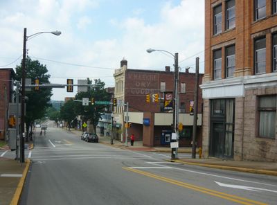
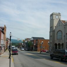
Connellsville, Industrial city in Fayette County, Pennsylvania.

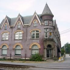
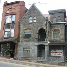
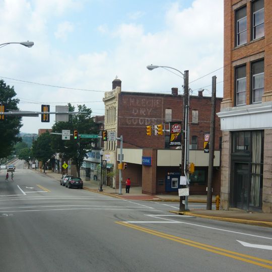
Connellsville spans both sides of the Youghiogheny River, with downtown situated on the eastern bank in a valley surrounded by hills. The city features residential neighborhoods, commercial streets, and industrial buildings from the 1800s that remain part of the urban landscape.

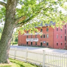
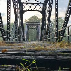
The settlement grew rapidly during the 1800s through coal cokification, a process essential for regional steel production. Hundreds of beehive ovens produced coke that made this place a major manufacturing center across North America.

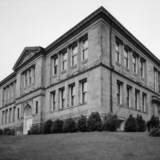
The Carnegie Library remains a gathering place where residents discover local history and participate in community programs. The building preserves documents that tell the story of the city's industrial past.

The Great Allegheny Passage trail runs through downtown, connecting the city by foot or bicycle to nearby Pittsburgh and distant Cumberland. The route is flat and easy to navigate year-round for most visitors.

Five different railroad companies operated within the city limits at the same time, creating a complex transportation network. These lines connected the place to major industrial centers and shaped how the city developed.

The community of curious travelers

AroundUs brings together thousands of curated places, local tips, and hidden gems, enriched daily by 60,000 contributors worldwide.
Start exploring
Location
Inception
March 1, 1806
GPS coordinates
40.01467,-79.58648
Latest update
September 12, 2026 04:20
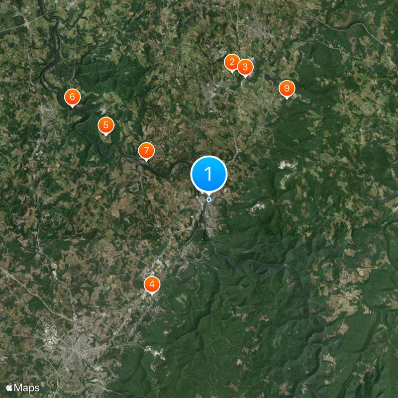
Around this place
West Overton
United States of America

West Overton

7.1 mi
United States of America

Jacob's Creek Bridge

7 mi
Isaac Meason House
United States of America

Isaac Meason House

6 mi
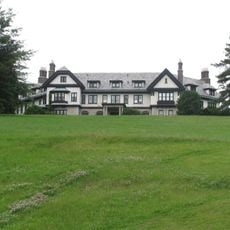
Linden Hall at Saint James Park
United States of America

Linden Hall at Saint James Park

6.8 mi
Layton Bridge
United States of America

Layton Bridge

9.2 mi
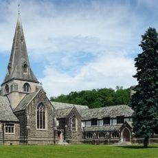
Cochran Memorial United Methodist Church
United States of America

Cochran Memorial United Methodist Church

4.2 mi
United States of America

Memorial Bridge

0.7 mi
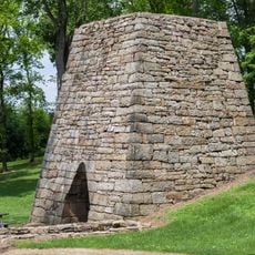
Mount Vernon Furnace
United States of America

Mount Vernon Furnace

6.9 mi
Mount Pleasant Historic District
United States of America

Mount Pleasant Historic District

9.5 mi
Dawson Historic District
United States of America

Dawson Historic District

4.4 mi
Carnegie Free Library
United States of America

Carnegie Free Library

0.1 mi
Laurel Hill Presbyterian Church
United States of America

Laurel Hill Presbyterian Church

6.5 mi
Searight's Fulling Mill
United States of America

Searight's Fulling Mill

9.7 mi
Scottdale Historic District
United States of America

Scottdale Historic District

6 mi
Peter and Jonathan Newmyer Farm
United States of America

Peter and Jonathan Newmyer Farm

4.5 mi
Colonial National Bank Building
United States of America

Colonial National Bank Building

0.2 mi
Samuel Warden House
United States of America

Samuel Warden House

9.4 mi
Dr. J.C. McClenathan House and Office
United States of America

Dr. J.C. McClenathan House and Office

0.2 mi
West Overton Village
United States of America

West Overton Village

7.1 mi
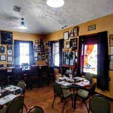
Connellsville Canteen
United States of America

Connellsville Canteen

0.3 mi
United States of America

State Game Lands Number 51

7.1 mi
United States of America

State Game Lands Number 296

9.5 mi
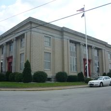
United States Post Office
United States of America

United States Post Office

0.2 mi
United States of America

Indian Creek Reservoir

7.4 mi
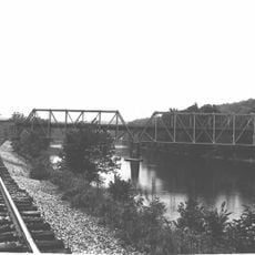
Connellsville P&WV bridge
United States of America

Connellsville P&WV bridge

0.9 mi
United States of America

Jumonville Cross

9.3 mi
United States of America

Waterfall

9.3 mi
United States of America

Sugar Run Falls

9.1 mi
Show the full map
Reviews
Share your experience

No review yet

Discussions
Start a discussion...

No discussion yet

« Connellsville - Industrial city in Fayette County, Pennsylvania » is provided by Around Us (aroundus.com). Images and texts are derived from Wikimedia project under a Creative Commons license. You are allowed to copy, distribute, and modify copies of this page, under the conditions set by the license, as long as this note is clearly visible.

Discover hidden gems everywhere you go!

From secret cafés to breathtaking viewpoints, skip the crowded tourist spots and find places that match your style. Our app makes it easy with voice search, smart filtering, route optimization, and insider tips from travelers worldwide. Download now for the complete mobile experience.

Around Us App Screenshot

A unique approach to discovering new places

Le Figaro

All the places worth exploring

France Info

A tailor-made excursion in just a few clicks

20 Minutes

Around Us
Travel Guide & Maps
Download

Send to your phone

QR Code
1

Open the camera app on your mobile.

2

Point at the QR code with your camera. A notification will appear.

3

Tap the notification to open the link.