Chest opened
+${chestReward.xp} XP
Explorer
NOUVEAU ×${chestReward.collectible.quantity}
tapez pour fermer
Chest locked

Open chests in the app

Around Us is built for your phone — chests unlock when you walk, explore and capture nearby places.

Enable Location

We need your location to show you interesting places around you

Discover nearby places

Find interesting locations and hidden gems around you

Precise directions

Get accurate directions and distances to places

Your location is never shared with other users. It's only used when you tap the location button.

Inwood

Log in to your account

Start exploring — it's free

Trusted by 72,881 travelers worldwide

Continue with Google
Continue with Apple
or

We will send you a code to connect

By continuing, you accept our Terms and Conditions and our Privacy Policy

Check your inbox

We've sent a pincode in your inbox. Please enter the code below.

Discussion Reviews 1 Photos
108k Popularity

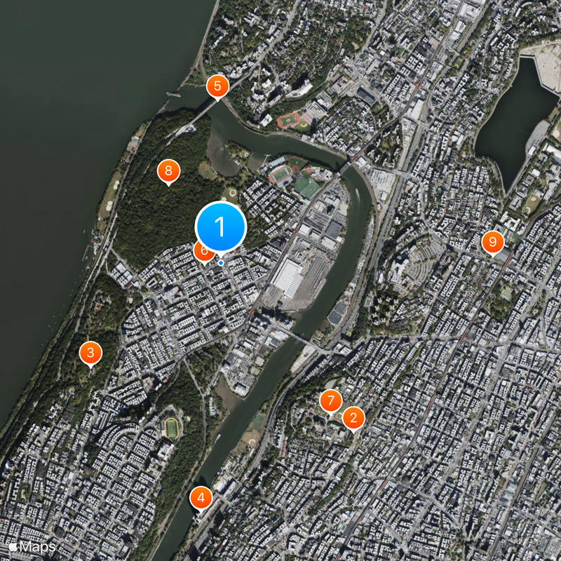
Inwood, Residential neighborhood at Manhattan northern tip, US

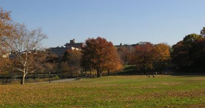
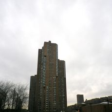
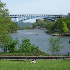
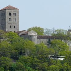
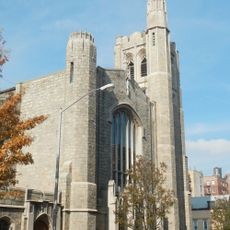
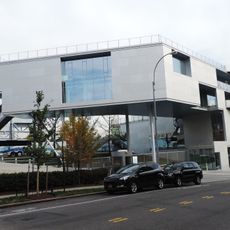
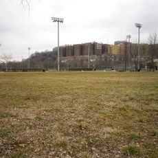
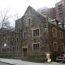
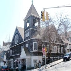
Inwood is a residential area at the northern tip of Manhattan between the Hudson River and Harlem River, combining green hills, red brick apartment blocks, and shops along Dyckman Street. The streets follow an irregular grid that adapts to the natural topography with rocky outcrops and wooded slopes.

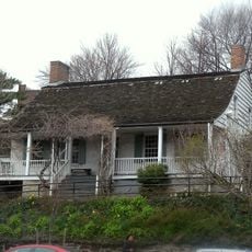
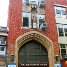
The Lenape used the area for centuries as a fishing and hunting ground before Dutch settlers arrived in the 17th century. After the Second World War, the neighborhood grew with the construction of multistory housing for Irish and later Dominican immigrants.

The Dominican community shapes daily life with bodegas, restaurants, and music shops along Dyckman Street. On summer evenings, families gather in small parks while merengue and bachata drift from open windows.

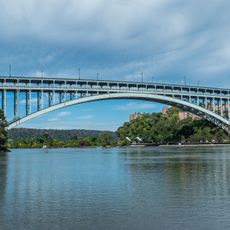
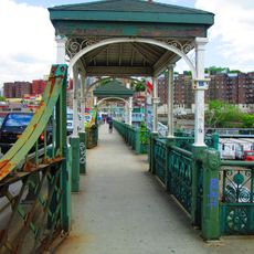
The A subway line runs from the southern edge of the neighborhood straight downtown, while several bus lines provide cross connections to the Bronx. On weekends, access to parks and waterfront paths is best reached on foot or by bicycle.

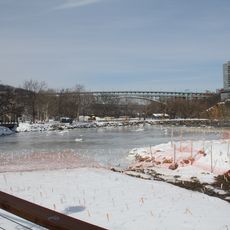
The neighborhood contains Manhattan's last salt marsh, a small wetland on the Harlem River shore that becomes visible at low tide. The caves in Inwood Hill Park once served as storage for smugglers during Prohibition.

The community of curious travelers

AroundUs brings together thousands of curated places, local tips, and hidden gems, enriched daily by 60,000 contributors worldwide.

Start exploring
Location
GPS coordinates
40.86744,-73.92151
Latest update
December 12, 2025 22:54
Around this place
Hall of Fame for Great Americans
United States of America

Hall of Fame for Great Americans

1.5 km
Fort Tryon Park
United States of America

Fort Tryon Park

1.2 km
River Park Towers
United States of America

River Park Towers

1.8 km
Henry Hudson Bridge
United States of America

Henry Hudson Bridge

1.2 km
Dyckman House
United States of America

Dyckman House

116 m
Bronx Community College
United States of America

Bronx Community College

1.3 km
Inwood Hill Park
United States of America

Inwood Hill Park

669 m
Kingsbridge Armory
United States of America

Kingsbridge Armory

1.9 km
Spuyten Duyvil Bridge
United States of America

Spuyten Duyvil Bridge

1.3 km
Broadway Bridge
United States of America

Broadway Bridge

1.1 km
The Cloisters
United States of America

The Cloisters

922 m
University Heights Bridge
United States of America

University Heights Bridge

753 m
Seaman-Drake Arch
United States of America

Seaman-Drake Arch

630 m
St. Elizabeth's Church
United States of America

St. Elizabeth's Church

1.8 km
Columbia Soccer Stadium
United States of America

Columbia Soccer Stadium

842 m
Roberto Clemente State Park
United States of America

Roberto Clemente State Park

1.4 km
Henry Hudson Park
United States of America

Henry Hudson Park

1.6 km
United States of America

Gorman Park

1.6 km
Muscota Marsh
United States of America

Muscota Marsh

702 m
Evangelical Lutheran Church of St. Matthew
United States of America

Evangelical Lutheran Church of St. Matthew

1.7 km
Our Lady Queen of Martyrs Church
United States of America

Our Lady Queen of Martyrs Church

681 m
Substation 17
United States of America

Substation 17

947 m
Mount Sinai Jewish Center
United States of America

Mount Sinai Jewish Center

1.8 km
Our Saviour's Atonement Lutheran Church
United States of America

Our Saviour's Atonement Lutheran Church

1.8 km
United States of America

Park Terrace West-West 217th Street Historic District

580 m
St. Stephen's Methodist Church
United States of America

St. Stephen's Methodist Church

1.5 km
Hall of Fame for Great Americans
United States of America

Hall of Fame for Great Americans

1.1 km
Dyckman Farmhouse Museum
United States of America

Dyckman Farmhouse Museum

121 m
Show the full map
Reviews
Share your experience

No review yet

Discussions
Start a discussion...

No discussion yet

« Inwood - Residential neighborhood at Manhattan northern tip, US » is provided by Around Us (aroundus.com). Images and texts are derived from Wikimedia project under a Creative Commons license. You are allowed to copy, distribute, and modify copies of this page, under the conditions set by the license, as long as this note is clearly visible.

Discover hidden gems everywhere you go!

From secret cafés to breathtaking viewpoints, skip the crowded tourist spots and find places that match your style. Our app makes it easy with voice search, smart filtering, route optimization, and insider tips from travelers worldwide. Download now for the complete mobile experience.

Around Us App Screenshot

A unique approach to discovering new places

Le Figaro

All the places worth exploring

France Info

A tailor-made excursion in just a few clicks

20 Minutes

Around Us
Travel Guide & Maps
Download

Send to your phone

QR Code
1

Open the camera app on your mobile.

2

Point at the QR code with your camera. A notification will appear.

3

Tap the notification to open the link.