Enable Location

We need your location to show you interesting places around you

Discover nearby places

Find interesting locations and hidden gems around you

Precise directions

Get accurate directions and distances to places

Your location is never shared with other users. It's only used when you tap the location button.

Kennett Square

Log in to your account

Start exploring — it's free

Trusted by 62,787 travelers worldwide

Continue with Google
Continue with Apple
or

We will send you a code to connect

By continuing, you accept our Terms and Conditions and our Privacy Policy

Check your inbox

We've sent a pincode in your inbox. Please enter the code below.

Kennett Square

Kennett Square, Agricultural borough in Chester County, United States

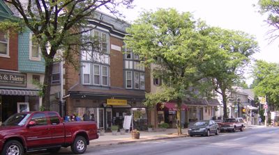
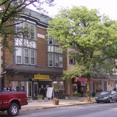
Kennett Square is a borough in Chester County that serves as a commercial hub for the surrounding agricultural region. The downtown streets contain shops, restaurants, and businesses oriented toward the local mushroom farming industry and general community needs.

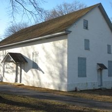
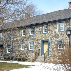
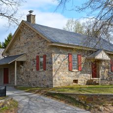
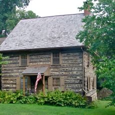
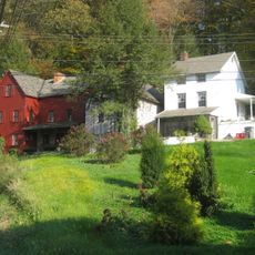
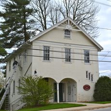
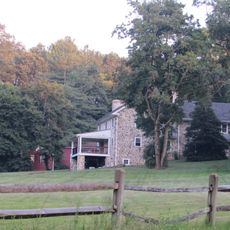
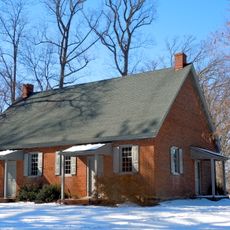
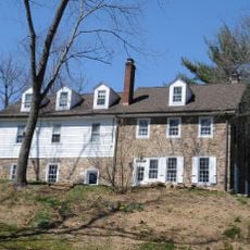
Settlement began in 1682 when William Penn granted land that eventually became an important stop on the Underground Railroad. Over the following centuries, the location evolved from a colonial outpost into an agricultural center.

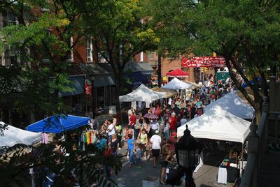
The Friday farmers market from May through November brings local growers and visitors together in a longstanding tradition. This mushroom-centered economy has shaped community identity, visible in local businesses, public art, and everyday conversations throughout the borough.

The borough sits roughly 40 miles west of Philadelphia with street parking and municipal lots available throughout the downtown area. Walking is the best way to explore the main commercial streets and nearby neighborhoods at a relaxed pace.

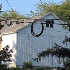
The surrounding farms produce roughly 500 million pounds of mushrooms annually, accounting for about 60 percent of all United States production. This concentrated output has made the area known globally as a mushroom farming hub.

The community of curious travelers

AroundUs brings together thousands of curated places, local tips, and hidden gems, enriched daily by 60,000 contributors worldwide.

Start exploring
Location
Inception
1682
GPS coordinates
39.84420,-75.71060
Latest update
December 14, 2025 19:43
Around this place
Longwood Gardens
United States of America

Longwood Gardens

4.3 km
Ashland Covered Bridge
United States of America

Ashland Covered Bridge

6.8 km
Cedarcroft
United States of America

Cedarcroft

1.9 km
Hindu Temple of Delaware
United States of America

Hindu Temple of Delaware

6.3 km
Auburn Valley State Park
United States of America

Auburn Valley State Park

4.7 km
Old Kennett Meetinghouse
United States of America

Old Kennett Meetinghouse

6.1 km
Garrett Snuff Mill
United States of America

Garrett Snuff Mill

5.1 km
Fairville, Pennsylvania
United States of America

Fairville, Pennsylvania

6.6 km
Hockessin Friends Meetinghouse
United States of America

Hockessin Friends Meetinghouse

5.9 km
Harlan Log House
United States of America

Harlan Log House

6.3 km
Auburn Mills Historic District
United States of America

Auburn Mills Historic District

4.8 km
South Brook Farm
United States of America

South Brook Farm

4.4 km
Cloud-Reese House
United States of America

Cloud-Reese House

5.1 km
Hamorton Historic District
United States of America

Hamorton Historic District

5.5 km
Unionville Village Historic District
United States of America

Unionville Village Historic District

6.1 km
Chandler Mill Bridge
United States of America

Chandler Mill Bridge

3.4 km
Garrett Snuff Mills Historic District
United States of America

Garrett Snuff Mills Historic District

5 km
Joseph Gregg House
United States of America

Joseph Gregg House

3 km
T. Pierson Farm
United States of America

T. Pierson Farm

6.2 km
Springdale Farm
United States of America

Springdale Farm

7.2 km
A. Armstrong Farm
United States of America

A. Armstrong Farm

7.1 km
Embreeville Historic District
United States of America

Embreeville Historic District

6.1 km
Kennett Square Historic District
United States of America

Kennett Square Historic District

148 m
Springer Farm
United States of America

Springer Farm

6.6 km
Public School No. 29
United States of America

Public School No. 29

6.2 km
S. P. Dixon Farm
United States of America

S. P. Dixon Farm

7 km
Marlborough Village Historic District
United States of America

Marlborough Village Historic District

6.2 km
J. Mason Farm
United States of America

J. Mason Farm

7.2 km
Show the full map
« Kennett Square - Agricultural borough in Chester County, United States » is provided by Around Us (aroundus.com). Images and texts are derived from Wikimedia project under a Creative Commons license. You are allowed to copy, distribute, and modify copies of this page, under the conditions set by the license, as long as this note is clearly visible.

Discover hidden gems everywhere you go!

From secret cafés to breathtaking viewpoints, skip the crowded tourist spots and find places that match your style. Our app makes it easy with voice search, smart filtering, route optimization, and insider tips from travelers worldwide. Download now for the complete mobile experience.

Around Us App Screenshot

A unique approach to discovering new places

Le Figaro

All the places worth exploring

France Info

A tailor-made excursion in just a few clicks

20 Minutes

Around Us
Travel Guide & Maps
Download

Send to your phone

QR Code
1

Open the camera app on your mobile.

2

Point at the QR code with your camera. A notification will appear.

3

Tap the notification to open the link.