Chest opened
+${chestReward.xp} XP
Explorer
NOUVEAU ×${chestReward.collectible.quantity}
tapez pour fermer

See the monuments around you in AR Open chests in the app

Around Us is built for your phone — point your camera at the streets and discover the monuments and places around you in augmented reality. Around Us is built for your phone — chests unlock when you walk, explore and capture nearby places.

Enable Location

We need your location to show you interesting places around you

Discover nearby places

Find interesting locations and hidden gems around you

Precise directions

Get accurate directions and distances to places

Your location is never shared with other users. It's only used when you tap the location button.

Mill Rock

Log in to your account

Start exploring — it's free

Trusted by 81,226 travelers worldwide

Continue with Google
Continue with Apple
or

We will send you a code to connect

By continuing, you accept our Terms and Conditions and our Privacy Policy

Check your inbox

We've sent a pincode in your inbox. Please enter the code below.

Mill Rock
Discussion Reviews 1 Photos
19.8k Popularity

Mill Rock, Island in East River, Manhattan, US

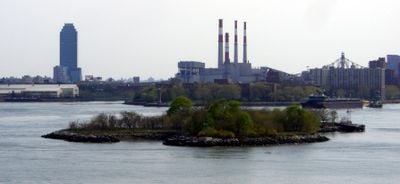
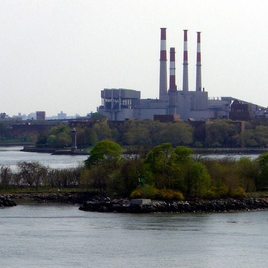
Mill Rock is a rocky island in the East River between Manhattan and Queens where the Harlem River meets it. The landmass features natural stone formations and irregular shorelines creating habitat for nesting seabirds.

The island was developed with a mill in 1701 that gave it its name. In 1885, Army engineers detonated massive amounts of explosives to make the waterways safer for ship traffic.

The island now functions as a nesting ground where wading birds gather and raise their young each year. People observe these colonies from nearby shores, especially during breeding season.

The island has been closed to the public since the 1960s and cannot be visited by landing on it. The best views come from nearby shorelines or bridges, particularly from the RFK Bridge.

In 1885, roughly 300,000 pounds of explosives were detonated to blast away rocks and improve shipping routes. This was one of the largest blasting projects of its era in New York Harbor.

The community of curious travelers

AroundUs brings together thousands of curated places, local tips, and hidden gems, enriched daily by 60,000 contributors worldwide.
Start exploring
Location
Location
GPS coordinates
40.78066,-73.93819
Latest update
December 7, 2025 10:06
Around this place
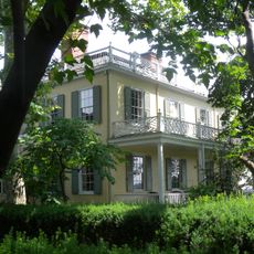
Gracie Mansion
United States of America

Gracie Mansion

652 m
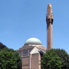
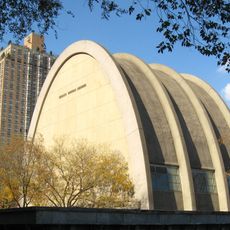
Islamic Cultural Center of New York
United States of America

Islamic Cultural Center of New York

1 km
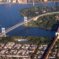
Robert F. Kennedy Bridge
United States of America

Robert F. Kennedy Bridge

1.4 km
Carl Schurz Park
United States of America

Carl Schurz Park

753 m
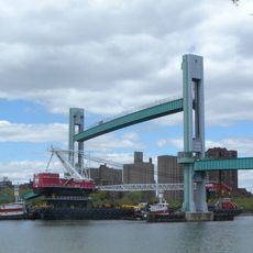
Wards Island Bridge
United States of America

Wards Island Bridge

632 m
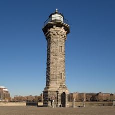
Blackwell Island Light
United States of America

Blackwell Island Light

893 m
United States of America

Museum of Motherhood

1.1 km
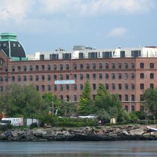
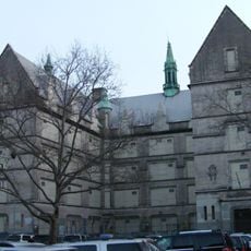
Sohmer and Company Piano Factory
United States of America

Sohmer and Company Piano Factory

1.3 km
Church of the Holy Agony
United States of America

Church of the Holy Agony

1.2 km
Holy Trinity Church, St. Christopher House and Parsonage
United States of America

Holy Trinity Church, St. Christopher House and Parsonage

994 m
Stevens House
United States of America

Stevens House

1.2 km
Henderson Place Historic District
United States of America

Henderson Place Historic District

828 m
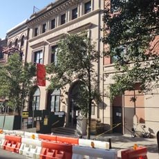
Public School 109
United States of America

Public School 109

1.1 km
Municipal Asphalt Plant
United States of America

Municipal Asphalt Plant

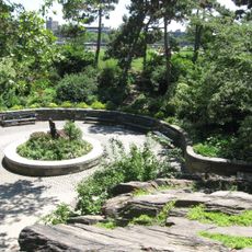
519 m
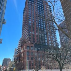
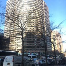
The Monarch, 200 East 89th Street
United States of America

The Monarch, 200 East 89th Street

1.2 km
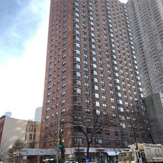
RiverEast, 408 East 92nd Street
United States of America

RiverEast, 408 East 92nd Street

691 m
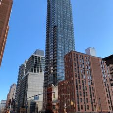
Astor Terrace
United States of America

Astor Terrace

907 m
200 East 90th Street
United States of America

200 East 90th Street

1.2 km
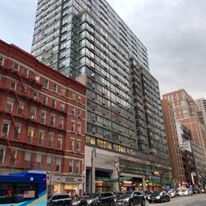
The Kent
United States of America

The Kent

1.1 km
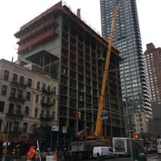
300 East 93rd Street
United States of America

300 East 93rd Street

861 m
96th Street Library
United States of America

96th Street Library

1.3 km
1802 Second Avenue
United States of America

1802 Second Avenue

855 m
139 East 94th Street
United States of America

139 East 94th Street

1.3 km
The Monterey
United States of America

The Monterey

1.1 km
The Ventura
United States of America

The Ventura

1.3 km
Pot Cove
United States of America

Pot Cove

831 m
302 East 94th Street
United States of America

302 East 94th Street

848 m
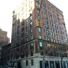
The Barclay
United States of America

The Barclay

572 m
Show the full map
Reviews
Share your experience

No review yet

Discussions
Start a discussion...

No discussion yet

« Mill Rock - Island in East River, Manhattan, US » is provided by Around Us (aroundus.com). Images and texts are derived from Wikimedia project under a Creative Commons license. You are allowed to copy, distribute, and modify copies of this page, under the conditions set by the license, as long as this note is clearly visible.

Discover hidden gems everywhere you go!

From secret cafés to breathtaking viewpoints, skip the crowded tourist spots and find places that match your style. Our app makes it easy with voice search, smart filtering, route optimization, and insider tips from travelers worldwide. Download now for the complete mobile experience.
Around Us App Screenshot

A unique approach to discovering new places

Le Figaro

All the places worth exploring

France Info

A tailor-made excursion in just a few clicks

20 Minutes

Around Us
Travel Guide & Maps
Download

Send to your phone

QR Code
1

Open the camera app on your mobile.

2

Point at the QR code with your camera. A notification will appear.

3

Tap the notification to open the link.