
Enosburgh, town in Vermont
Location: Franklin County
Elevation above the sea: 254 m
Website: https://enosburghvt.org
GPS coordinates: 44.88389,-72.77111
Latest update: April 7, 2025 09:34
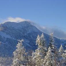
Jay Peak
19.9 km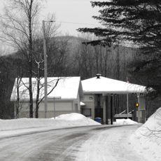
East Richford–Glen Sutton Border Crossing
15.7 km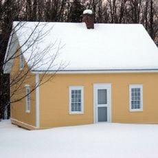
Chester Alan Arthur State Historic Site
14.9 km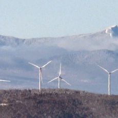
Big Jay
18.5 km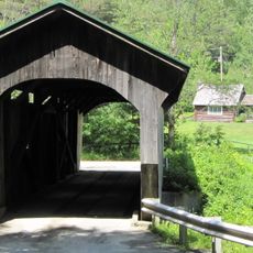
Morgan Covered Bridge
16 km
Sweat-Comings Company House
14.6 km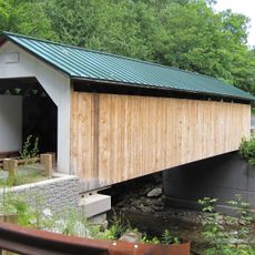
Hutchins Covered Bridge
12.8 km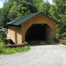
West Hill Covered Bridge
9.9 km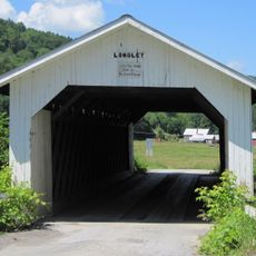
Longley Covered Bridge
9.5 km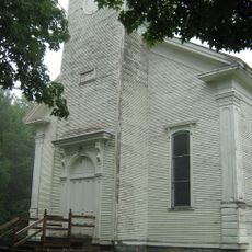
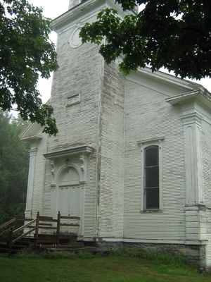
Enosburg Congregational Memorial Church
1.4 km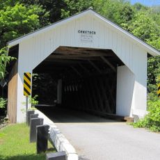
Comstock Covered Bridge
10.2 km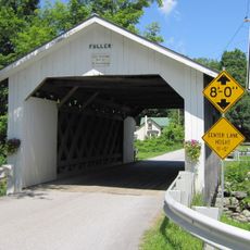
Fuller Covered Bridge
10.6 km
Mill Covered Bridge
15.8 km
East Fairfield Covered Bridge
13 km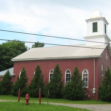
St. George's Catholic Church
11.6 km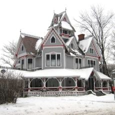
Sheldon Boright House
14.8 km
St. Ann's Episcopal Church
14.9 km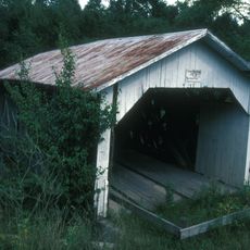
Hectorville Covered Bridge
12.9 km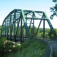
Bridge 12
4.1 km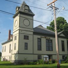
Enosburg Opera House
3.7 km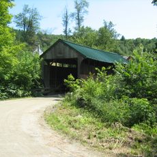
Jaynes Covered Bridge
19.2 km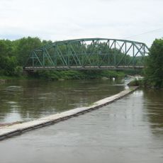
Bridge 9
16.2 km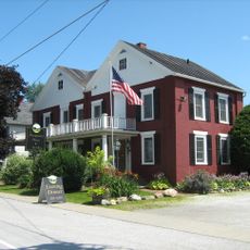
Montgomery House
10.5 km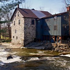
Moulin Freligh
19.8 km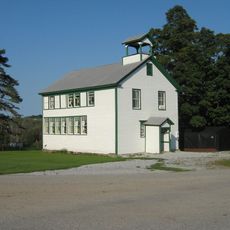
West Berkshire School
11.8 km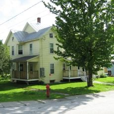
F.W. Wheeler House
14.4 km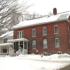
Richford Primary School
14.6 km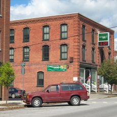
Billado Block
3.8 kmVisited this place? Tap the stars to rate it and share your experience / photos with the community! Try now! You can cancel it anytime.

Discover hidden gems everywhere you go!
From secret cafés to breathtaking viewpoints, skip the crowded tourist spots and find places that match your style. Our app makes it easy with voice search, smart filtering, route optimization, and insider tips from travelers worldwide. Download now for the complete mobile experience.

A unique approach to discovering new places❞
— Le Figaro
All the places worth exploring❞
— France Info
A tailor-made excursion in just a few clicks❞
— 20 Minutes