Chest opened
+${chestReward.xp} XP
Explorer
NOUVEAU ×${chestReward.collectible.quantity}
tapez pour fermer
Chest locked

Open chests in the app

Around Us is built for your phone — chests unlock when you walk, explore and capture nearby places.

Enable Location

We need your location to show you interesting places around you

Discover nearby places

Find interesting locations and hidden gems around you

Precise directions

Get accurate directions and distances to places

Your location is never shared with other users. It's only used when you tap the location button.

Hebron

Log in to your account

Start exploring — it's free

Trusted by 72,883 travelers worldwide

Continue with Google
Continue with Apple
or

We will send you a code to connect

By continuing, you accept our Terms and Conditions and our Privacy Policy

Check your inbox

We've sent a pincode in your inbox. Please enter the code below.

Discussion Reviews 1 Photos
15.4k Popularity

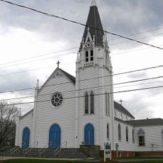
Hebron, town in Connecticut, United States

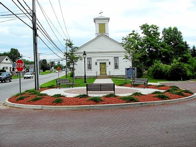
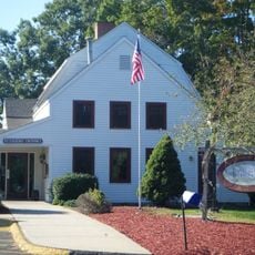
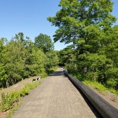
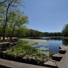
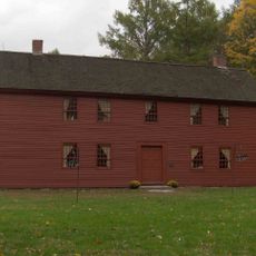
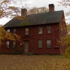
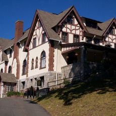
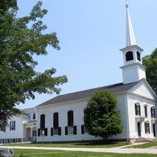
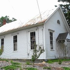
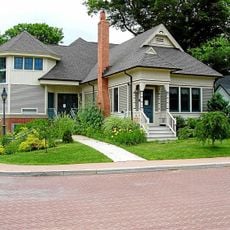
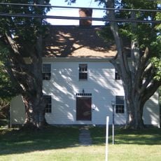
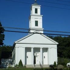
Hebron is a small town in Tolland County, Connecticut, with over 300 years of history. The town has quiet streets with traditional homes, a central historic district around the town green, and about 2900 acres of open space with hiking trails, ponds, and forests.

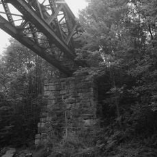
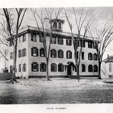
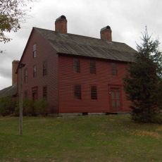
The town was founded in 1708 and is among Connecticut's oldest communities. Later, local manufacturing grew with brick yards, textile mills, and paper factories that shaped economic life until the 20th century.

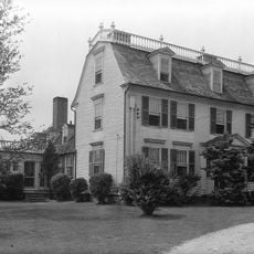
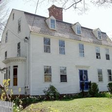
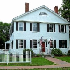
The name Hebron comes from the Bible and refers to an ancient city. Main Street shows old houses standing next to newer shops, revealing how the town keeps its past while moving forward.

The town is easy to reach by car, about 30 minutes from Hartford via Route 2 and Route 66. Bradley International Airport is the closest option for flying in, and there are limited bus connections from Hartford plus lodging options including hotels and vacation rentals.

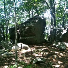
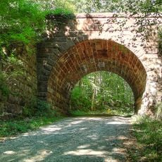
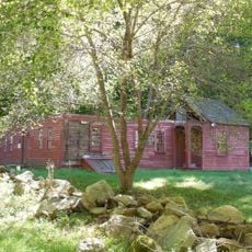
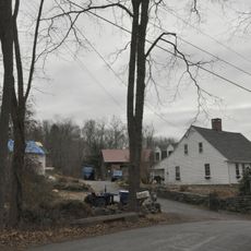
Grayville Falls has a long sloping cascade that spills over stone steps and draws many visitors for photos. Nearby Salmon River State Forest offers unmarked trails where mountain bikers and nature lovers roam through large stretches of wild forest with hidden clearings.

The community of curious travelers

AroundUs brings together thousands of curated places, local tips, and hidden gems, enriched daily by 60,000 contributors worldwide.

Start exploring
Location
Inception
1704
Elevation above the sea
154 m
GPS coordinates
41.65278,-72.39139
Latest update
February 20, 2026 00:01
Around this place
Gay City State Park
United States of America

Gay City State Park

9.1 km
Lyman Viaduct
United States of America

Lyman Viaduct

11.1 km
Comstock's Bridge
United States of America

Comstock's Bridge

12.1 km
Salmon River State Forest
United States of America

Salmon River State Forest

11.8 km
Marlborough Tavern
United States of America

Marlborough Tavern

6.2 km
Rapallo Viaduct
United States of America

Rapallo Viaduct

11.2 km
Blackledge River Railroad Bridge
United States of America

Blackledge River Railroad Bridge

8.3 km
Day Pond State Park
United States of America

Day Pond State Park

11.3 km
Old Bacon Academy
United States of America

Old Bacon Academy

10.1 km
Colchester Village Historic District
United States of America

Colchester Village Historic District

10 km
Strong House
United States of America

Strong House

13.1 km
White's Tavern
United States of America

White's Tavern

11.2 km
Willimantic Elks Club
United States of America

Willimantic Elks Club

8.2 km
River Road Stone Arch Railroad Bridge
United States of America

River Road Stone Arch Railroad Bridge

8.6 km
Henry Champion House
United States of America

Henry Champion House

12.2 km
Hayward House
United States of America

Hayward House

10 km
Belltown Historic District
United States of America

Belltown Historic District

13 km
Elias Sprague House
United States of America

Elias Sprague House

13.2 km
Columbia Green Historic District
United States of America

Columbia Green Historic District

9.1 km
Augustus Post House
United States of America

Augustus Post House

2.2 km
Andover Center Historic District
United States of America

Andover Center Historic District

9.2 km
Hebron Center Historic District
United States of America

Hebron Center Historic District

1.9 km
Dr. Elizur Hale House
United States of America

Dr. Elizur Hale House

9.2 km
Parker-Hutchinson Farm
United States of America

Parker-Hutchinson Farm

11.3 km
Wheeler Block
United States of America

Wheeler Block

10.2 km
Marlborough Congregational Church
United States of America

Marlborough Congregational Church

5.9 km
Zagray Farm Museum
United States of America

Zagray Farm Museum

7.4 km
Nathan Hale Homestead
United States of America

Nathan Hale Homestead

13.1 km
Show the full map
Reviews
Share your experience

No review yet

Discussions
Start a discussion...

No discussion yet

« Hebron - town in Connecticut, United States » is provided by Around Us (aroundus.com). Images and texts are derived from Wikimedia project under a Creative Commons license. You are allowed to copy, distribute, and modify copies of this page, under the conditions set by the license, as long as this note is clearly visible.

Discover hidden gems everywhere you go!

From secret cafés to breathtaking viewpoints, skip the crowded tourist spots and find places that match your style. Our app makes it easy with voice search, smart filtering, route optimization, and insider tips from travelers worldwide. Download now for the complete mobile experience.

Around Us App Screenshot

A unique approach to discovering new places

Le Figaro

All the places worth exploring

France Info

A tailor-made excursion in just a few clicks

20 Minutes

Around Us
Travel Guide & Maps
Download

Send to your phone

QR Code
1

Open the camera app on your mobile.

2

Point at the QR code with your camera. A notification will appear.

3

Tap the notification to open the link.