
Erving, town in Franklin County, Massachusetts, United States
Location: Franklin County
Inception: 1801
Elevation above the sea: 145 m
Website: http://erving-ma.org
GPS coordinates: 42.60000,-72.39861
Latest update: March 9, 2025 12:24
Metacomet-Monadnock Trail
7 km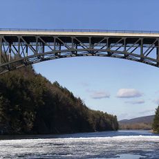
French King Bridge
8 km
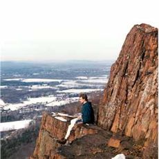
Bear's Den
8.8 km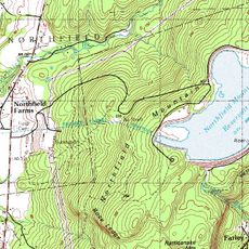
Northfield Mountain
4.2 km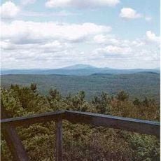
Mount Grace
10.8 km
Wendell State Forest
7.1 km
Lake Wyola State Park
11.3 km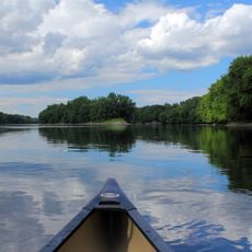
Connecticut River Greenway State Park
11.8 km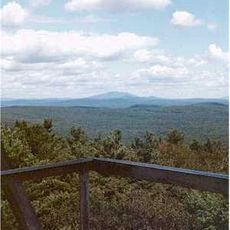
Mount Grace State Forest
11.5 km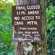
Crag Mountain
5.1 km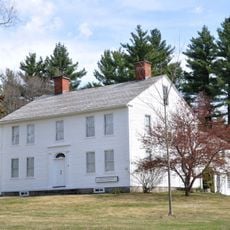
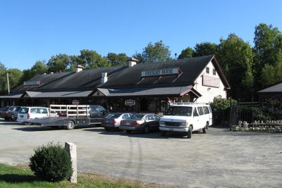
Whitaker-Clary House
9.5 km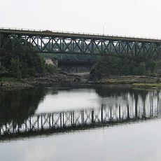
Turners Falls–Gill Bridge
12.6 km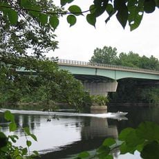
Bennett's Meadow Bridge
11 km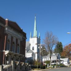
Orange Center Historic District
7.4 km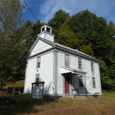
Moore's Corner Historic District
13.1 km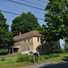
Simeon Alexander, Jr., House
7 km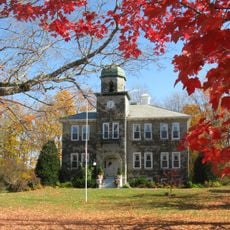
New Salem Common Historic District
12.6 km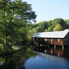
North Leverett, Massachusetts
12.8 km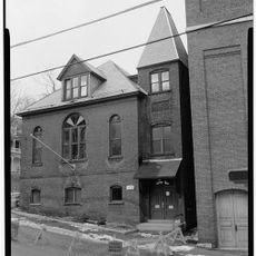
Grand Army of the Republic Hall
7.3 km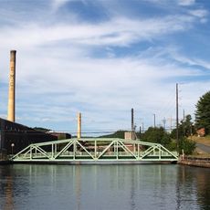
Turners Falls Historic District
13 km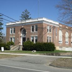
Northfield Main Street Historic District
11.7 km
Wendell Town Common Historic District
5.7 km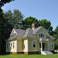
Pine Street School
12.8 km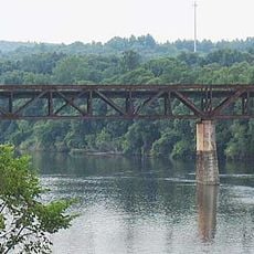
Rail Bridge, Northfield, Massachusetts
12.8 km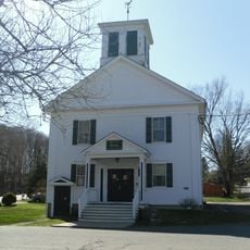
Gill Center Historic District
9.4 km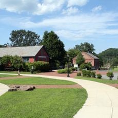
Great Falls Discovery Center
12.9 km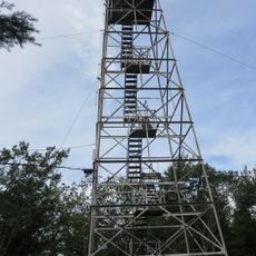
Warwick Fire Tower
10.8 km
Tully Cemetery
12.9 kmReviews
Visited this place? Tap the stars to rate it and share your experience / photos with the community! Try now! You can cancel it anytime.
Discover hidden gems everywhere you go!
From secret cafés to breathtaking viewpoints, skip the crowded tourist spots and find places that match your style. Our app makes it easy with voice search, smart filtering, route optimization, and insider tips from travelers worldwide. Download now for the complete mobile experience.

A unique approach to discovering new places❞
— Le Figaro
All the places worth exploring❞
— France Info
A tailor-made excursion in just a few clicks❞
— 20 Minutes