Enable Location

We need your location to show you interesting places around you

Discover nearby places

Find interesting locations and hidden gems around you

Precise directions

Get accurate directions and distances to places

Your location is never shared with other users. It's only used when you tap the location button.

Grand Lake o' the Cherokees

Log in to your account

Start exploring — it's free

Trusted by 62,830 travelers worldwide

Continue with Google
Continue with Apple
or

We will send you a code to connect

By continuing, you accept our Terms and Conditions and our Privacy Policy

Check your inbox

We've sent a pincode in your inbox. Please enter the code below.

Grand Lake o' the Cherokees

Grand Lake o' the Cherokees, Artificial lake in northeastern Oklahoma, United States

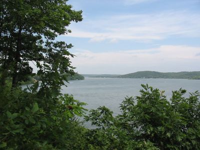
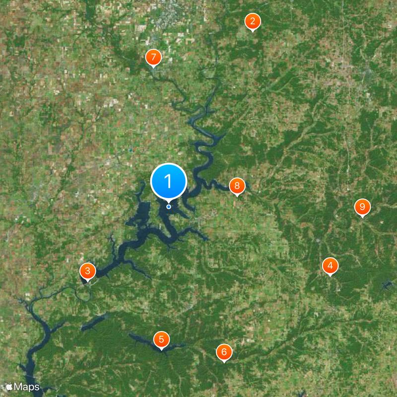
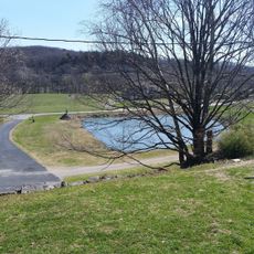
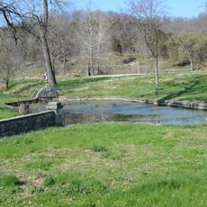
Grand Lake o' the Cherokees is a human-made body of water in northeastern Oklahoma that touches several counties. The shoreline extends over a large area and offers many coves and docks for boats and leisure activities.

Work on the Pensacola Dam began in the late 1930s as part of a government employment program. After completion in 1940, the body of water formed and supplied the region with power from hydroelectricity.

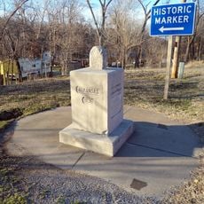
The older name Lake of the Cherokees refers to the Cherokee Nation that once inhabited this region. Many place names around the water still reflect that heritage and recall the original inhabitants of what is now Oklahoma.

The shorelines are easily accessible through several ramps and parks spread across different counties. Summer months bring heavy activity and boat traffic, while the off-season offers quieter conditions.

The Pensacola Dam consists of 51 consecutive arches and extends over a considerable length. This construction makes it the longest multiple arch structure worldwide and a technical landmark.

The community of curious travelers

AroundUs brings together thousands of curated places, local tips, and hidden gems, enriched daily by 60,000 contributors worldwide.

Start exploring
Location
Elevation above the sea
227 m
GPS coordinates
36.61190,-94.84150
Latest update
December 20, 2025 12:02
Around this place
Ghost light
United States of America

Ghost light

41 km
Pensacola Dam
United States of America

Pensacola Dam

23.1 km
Old Spanish Treasure Cave
United States of America

Old Spanish Treasure Cave

37 km
Lake Eucha
United States of America

Lake Eucha

30.1 km
Ozark Plateau National Wildlife Refuge
United States of America

Ozark Plateau National Wildlife Refuge

34.8 km
Coleman Theatre
United States of America

Coleman Theatre

29.6 km
Splitlog Church
United States of America

Splitlog Church

14.7 km
Old McDonald County Courthouse
United States of America

Old McDonald County Courthouse

41 km
Attucks School
United States of America

Attucks School

27.7 km
John Patrick McNaughton Barn
United States of America

John Patrick McNaughton Barn

32.3 km
First Methodist Episcopal Church, South
United States of America

First Methodist Episcopal Church, South

28.4 km
George L. Coleman Sr. House
United States of America

George L. Coleman Sr. House

30.3 km
Bluff Dwellers Cave
United States of America

Bluff Dwellers Cave

33.3 km
Kindley House
United States of America

Kindley House

41.2 km
OKARMO Corner
United States of America

OKARMO Corner

23.6 km
Coon Creek Bridge
United States of America

Coon Creek Bridge

41.2 km
Wee Pine Knot
United States of America

Wee Pine Knot

36.7 km
Shiloh House
United States of America

Shiloh House

37.8 km
Sulphur Springs Park Reserve
United States of America

Sulphur Springs Park Reserve

37.4 km
Coats School
United States of America

Coats School

37.9 km
Kansas City Southern Railway Caboose No. 383
United States of America

Kansas City Southern Railway Caboose No. 383

40.7 km
Statue of Mickey Mantle
United States of America

Statue of Mickey Mantle

35 km
Adar House
United States of America

Adar House

35.4 km
Sulphur Springs Old School Complex Historic District
United States of America

Sulphur Springs Old School Complex Historic District

37.1 km
Corey House/Hotel
United States of America

Corey House/Hotel

6.8 km
Jones House
United States of America

Jones House

37.2 km
Splash Park
United States of America

Splash Park

8.2 km
Eastern Trails Museum
United States of America

Eastern Trails Museum

28.3 km
Show the full map
« Grand Lake o' the Cherokees - Artificial lake in northeastern Oklahoma, United States » is provided by Around Us (aroundus.com). Images and texts are derived from Wikimedia project under a Creative Commons license. You are allowed to copy, distribute, and modify copies of this page, under the conditions set by the license, as long as this note is clearly visible.

Discover hidden gems everywhere you go!

From secret cafés to breathtaking viewpoints, skip the crowded tourist spots and find places that match your style. Our app makes it easy with voice search, smart filtering, route optimization, and insider tips from travelers worldwide. Download now for the complete mobile experience.

Around Us App Screenshot

A unique approach to discovering new places

Le Figaro

All the places worth exploring

France Info

A tailor-made excursion in just a few clicks

20 Minutes

Around Us
Travel Guide & Maps
Download

Send to your phone

QR Code
1

Open the camera app on your mobile.

2

Point at the QR code with your camera. A notification will appear.

3

Tap the notification to open the link.