Chest opened
+${chestReward.xp} XP
Explorer
NOUVEAU ×${chestReward.collectible.quantity}
tapez pour fermer
Chest locked

Open chests in the app

Around Us is built for your phone — chests unlock when you walk, explore and capture nearby places.

Enable Location

We need your location to show you interesting places around you

Discover nearby places

Find interesting locations and hidden gems around you

Precise directions

Get accurate directions and distances to places

Your location is never shared with other users. It's only used when you tap the location button.

Walker

Log in to your account

Start exploring — it's free

Trusted by 72,892 travelers worldwide

Continue with Google
Continue with Apple
or

We will send you a code to connect

By continuing, you accept our Terms and Conditions and our Privacy Policy

Check your inbox

We've sent a pincode in your inbox. Please enter the code below.

Discussion Reviews 1 Photos
17.2k Popularity

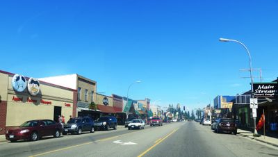
Walker, city in Minnesota

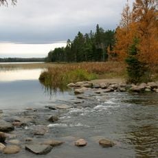
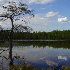
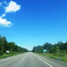
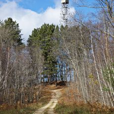
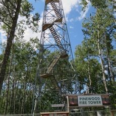
Walker is a small city in northern Cass County, Minnesota, situated on the shores of Leech Lake. The surrounding landscape features high bluffs, forests of pine trees, and numerous lakes that shape the character of the area.

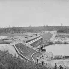
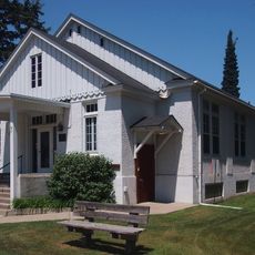
The settlement began as an Indian mission and later developed into a center for logging and trading operations. When the railroad arrived in the 1800s, it brought population growth and transformed the town into a supply hub for loggers and settlers moving through the region.

The town's name comes from early settler Thomas Walker who established himself in the area. The community maintains this connection to its founding identity through local recognition and stories passed down.

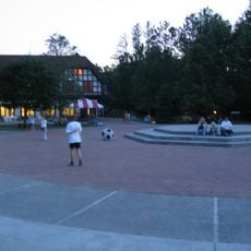
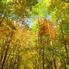
Summer offers the best conditions for water activities, while autumn attracts visitors for fall foliage viewing, and winter is ideal for snowmobiling. Accommodations, dining options, and well-marked trails throughout the area make visiting straightforward for most travelers.

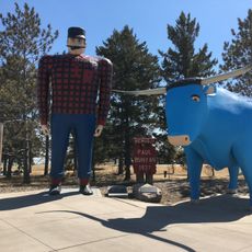
The Paul Bunyan Trail passes through town as a paved route that connects to the Heartland Trail, creating a continuous path for cyclists and walkers. This network allows visitors to explore surrounding communities while staying on dedicated paths away from regular traffic.

The community of curious travelers

AroundUs brings together thousands of curated places, local tips, and hidden gems, enriched daily by 60,000 contributors worldwide.

Start exploring
Location
Elevation above the sea
401 m
GPS coordinates
47.10139,-94.58722
Latest update
February 17, 2026 01:00
Around this place
Paul Bunyan and Babe the Blue Ox
United States of America

Paul Bunyan and Babe the Blue Ox

46.6 km
Itasca State Park
United States of America

Itasca State Park

49.4 km
Lake Winnibigoshish
United States of America

Lake Winnibigoshish

49.5 km
Lake Bemidji State Park
United States of America

Lake Bemidji State Park

51.9 km
Waldsee
United States of America

Waldsee

52.3 km
United States of America

The Big Fish

36.9 km
Paul Bunyan State Forest
United States of America

Paul Bunyan State Forest

37.1 km
Bowstring State Forest
United States of America

Bowstring State Forest

51.4 km
Badoura State Forest
United States of America

Badoura State Forest

30.7 km
Nevis Tiger Muskie
United States of America

Nevis Tiger Muskie

24.6 km
Bemidji Carnegie Library
United States of America

Bemidji Carnegie Library

46.8 km
Beltrami County Courthouse
United States of America

Beltrami County Courthouse

47.1 km
Nymore Bridge
United States of America

Nymore Bridge

46.2 km
David Park House
United States of America

David Park House

47.8 km
Hubbard County Courthouse
United States of America

Hubbard County Courthouse

41.4 km
Cole Memorial Building
United States of America

Cole Memorial Building

59.2 km
Remer State Forest
United States of America

Remer State Forest

57.5 km
Lake Bemidji State Park CCC/NYA/Rustic Style Historic Resources
United States of America

Lake Bemidji State Park CCC/NYA/Rustic Style Historic Resources

51.4 km
Sandtrap Golf Course
United States of America

Sandtrap Golf Course

30.5 km
Nimrod Fire Tower
United States of America

Nimrod Fire Tower

54.5 km
Draper Lookout Tower
United States of America

Draper Lookout Tower

54 km
Cuba Hill Lookout Tower
United States of America

Cuba Hill Lookout Tower

27.8 km
Schoolcraft Fire Tower
United States of America

Schoolcraft Fire Tower

41.7 km
Aiton Heights Fire Tower
United States of America

Aiton Heights Fire Tower

46.5 km
Badoura Lookout Tower
United States of America

Badoura Lookout Tower

28.7 km
Pinewood Fire Tower
United States of America

Pinewood Fire Tower

54.1 km
Kabekona Lookout Tower
United States of America

Kabekona Lookout Tower

25.4 km
LaSalle Lookout Tower
United States of America

LaSalle Lookout Tower

51.4 km
Show the full map
Reviews
Share your experience

No review yet

Discussions
Start a discussion...

No discussion yet

« Walker - city in Minnesota » is provided by Around Us (aroundus.com). Images and texts are derived from Wikimedia project under a Creative Commons license. You are allowed to copy, distribute, and modify copies of this page, under the conditions set by the license, as long as this note is clearly visible.

Discover hidden gems everywhere you go!

From secret cafés to breathtaking viewpoints, skip the crowded tourist spots and find places that match your style. Our app makes it easy with voice search, smart filtering, route optimization, and insider tips from travelers worldwide. Download now for the complete mobile experience.

Around Us App Screenshot

A unique approach to discovering new places

Le Figaro

All the places worth exploring

France Info

A tailor-made excursion in just a few clicks

20 Minutes

Around Us
Travel Guide & Maps
Download

Send to your phone

QR Code
1

Open the camera app on your mobile.

2

Point at the QR code with your camera. A notification will appear.

3

Tap the notification to open the link.