Monticello, city in Kentucky, United States
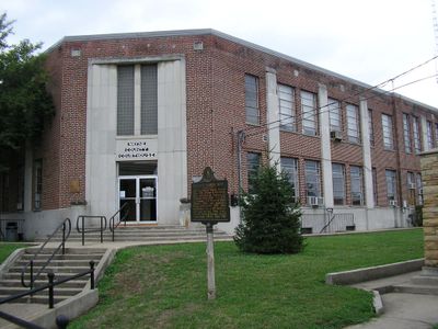
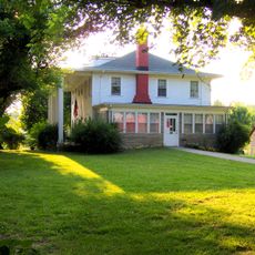
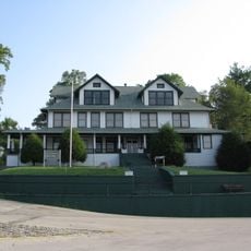
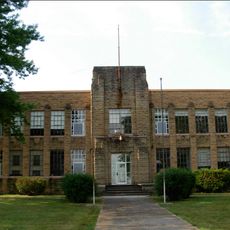
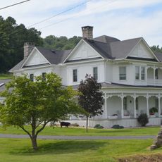
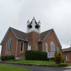
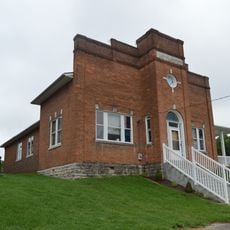
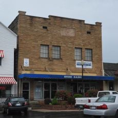
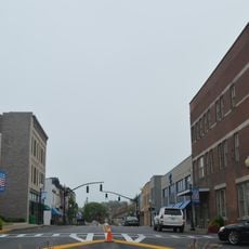
Monticello is a small city in Wayne County, Kentucky, situated in rolling hills and farmland near the Appalachian Mountains. The streets contain houses and local shops, with several buildings retaining their historical appearance and age.
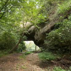
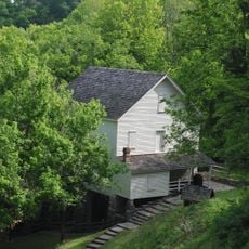
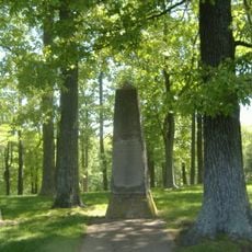
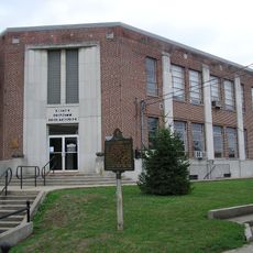
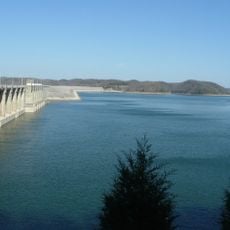
Monticello began as a stopping point for travelers and traders moving through Kentucky and later developed as a local hub. The area played a role during the Civil War, with sites like Mill Springs Mill marking important regional moments in that period.
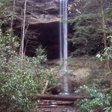
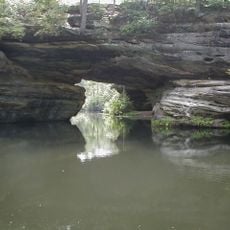
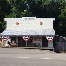
The town grew as a gathering place for early settlers and remains a close-knit community where neighbors interact regularly. Visitors can see how residents shop locally, attend seasonal festivals and celebrations, and value their connection to the surrounding natural areas and traditions.
The city has limited large hotels, so it's best to check lodging options in advance or consider nearby towns for accommodation. The area experiences four distinct seasons with warm summers and cool winters that may bring occasional snow, so plan your visit and pack accordingly.
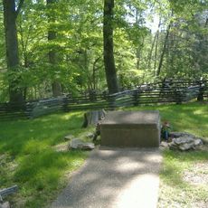
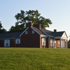
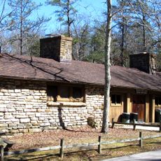
The town contains the historic Raccoon John Smith cabin, a small wooden house showing how early settlers lived and how religion shaped their daily lives. Visitors can step inside to see firsthand how 19th century pioneers actually organized and conducted their household routines.
The community of curious travelers
AroundUs brings together thousands of curated places, local tips, and hidden gems, enriched daily by 60,000 contributors worldwide.