Wayne County, County administrative division in southeastern Kentucky, US
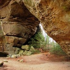
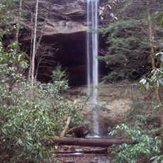
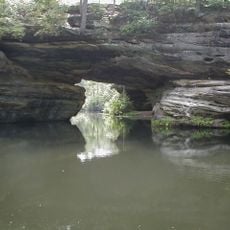
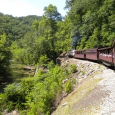
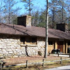
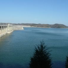
Wayne County is an administrative division in southeastern Kentucky along the Tennessee border, featuring rolling valleys, hills, and water areas that shape the landscape. The county includes several small communities and natural features spread across its terrain.
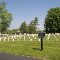
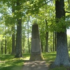
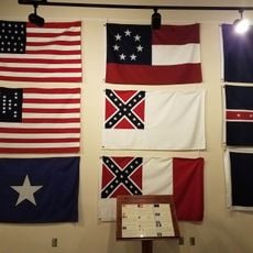
The county was established in December 1800 and named after General Anthony Wayne, a Revolutionary War officer. The area later became a location of military activity during the Civil War in the mid-1800s.
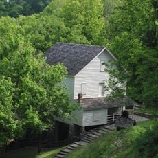
The Mill Springs Mill, powered by water, shows visitors how grain was processed using traditional methods from earlier centuries. The mill represents craft skills that were central to daily life in the region for generations.
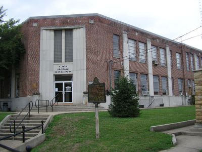
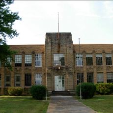
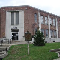
The local school system operates through several facilities, including a training center for vocational skills and practical coursework. Visitors should expect longer travel times between sites due to the rural nature of the area.
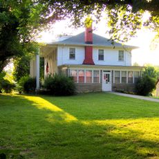
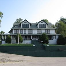
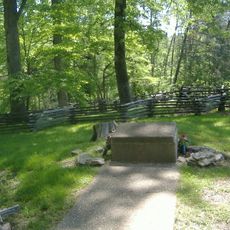
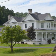
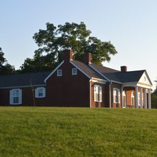
The Brown-Lanier House served as headquarters for a general in the early 1860s during a major Civil War engagement. The building today stands as a reminder of the military history that unfolded in this area.
The community of curious travelers
AroundUs brings together thousands of curated places, local tips, and hidden gems, enriched daily by 60,000 contributors worldwide.