Durham, Colonial town in Strafford County, New Hampshire
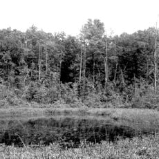
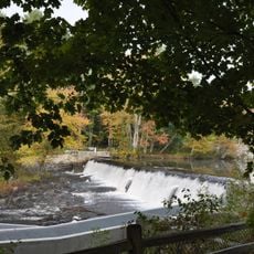
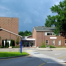
Durham is a town in Strafford County located where the Oyster River meets Great Bay and spreads across varied New England terrain. The town contains forests, waterways, and developed areas where the university campus and downtown intersect.
The settlement was founded in 1635 as Oyster River Plantation before receiving its current name and township status in 1732. This change marked the establishment of an independent municipality with its own local governance.
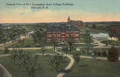
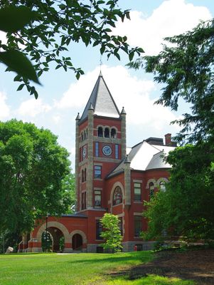
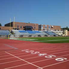
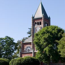
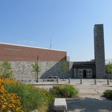
The University of New Hampshire defines the town's identity through students and faculty who fill the streets and campus year-round. You will find regular theater performances, art exhibitions, and academic events that shape daily life here.
The Amtrak Downeaster rail service connects the town to larger cities like Boston and Portland, Maine. The best time to visit is spring and fall when weather is mild and crowds are lighter.
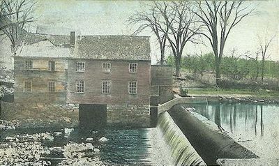
The Oyster River was originally called Shankhassick and served local indigenous peoples for thousands of years as a source of shellfish and northern hunting grounds. This deep history of waterway use remains visible today in how the town developed around the river and adjoining bay.
The community of curious travelers
AroundUs brings together thousands of curated places, local tips, and hidden gems, enriched daily by 60,000 contributors worldwide.